"The Sacred Highway" - QL-49B & DT 68
On the far eastern edge of Thua-Thien Hue Province lies a massive sandbar island, and a matching spit above it, that run for over 70 kms along the central Vietnam coast. These landforms both contain a large hill of sand on their seaboard sides, resulting in a wall of sand that blocks the estuaries and swamps of the Perfume River Delta from the energy and power of the raw, open ocean. The inland side of the island and sandbar varies in width from less than a kilometer to several kilometers, and a road stretches the entire length, connecting the mountains of Phu Loc in the south with Quang Tri in the north. The road is lined with small villages and the ever-present and widespread agriculture fields, but the most visible and numerous structures along the way are the countless religious sites, facilities and structures. For along this road, there are countless churches, dinhs, temples, pagodas, shrines, graves, cemeteries, and more. There is an amazing seamless integration between Buddhism and Catholicism, as well as some symbolism exchange, and it is these sites that make this drive so amazing.
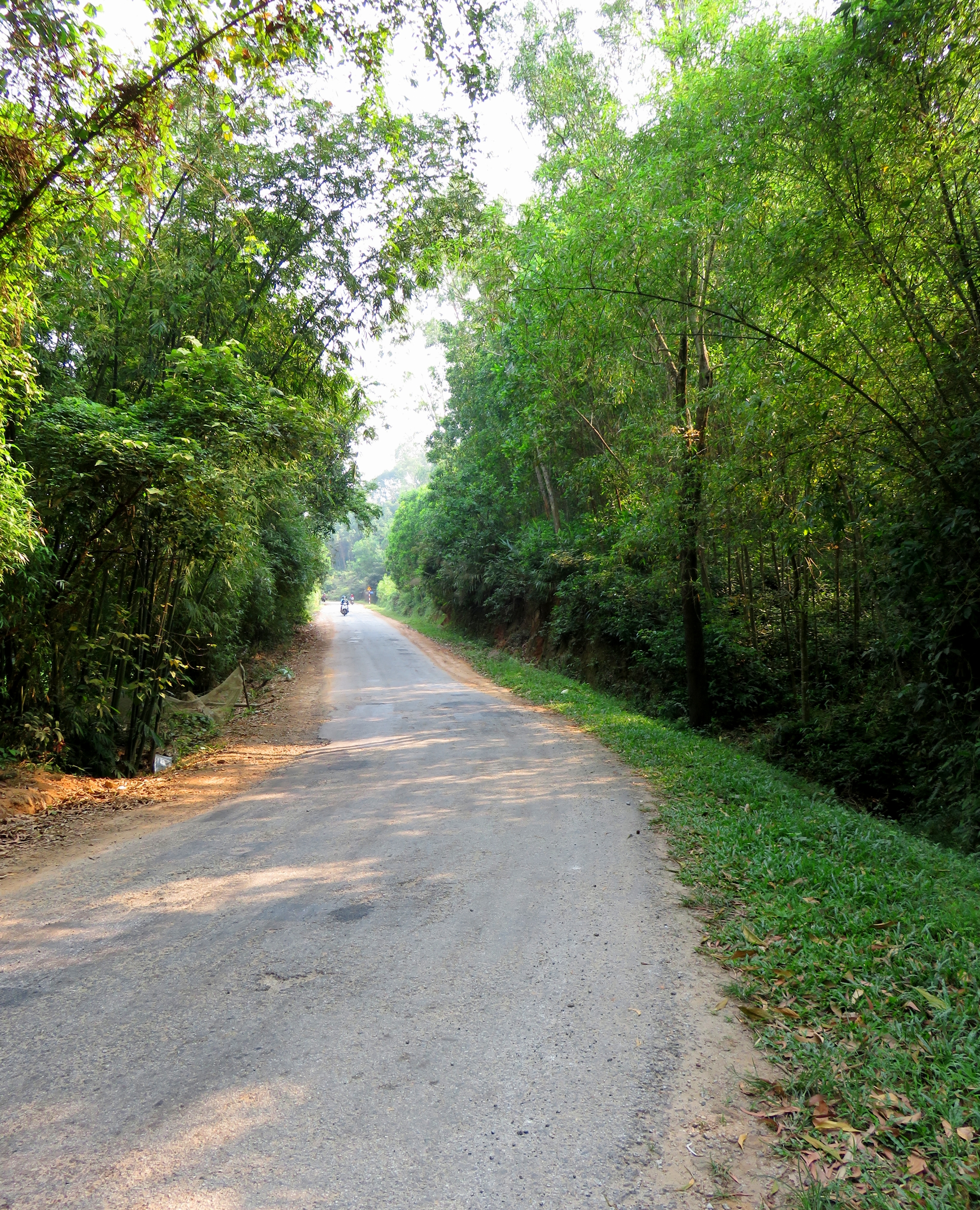
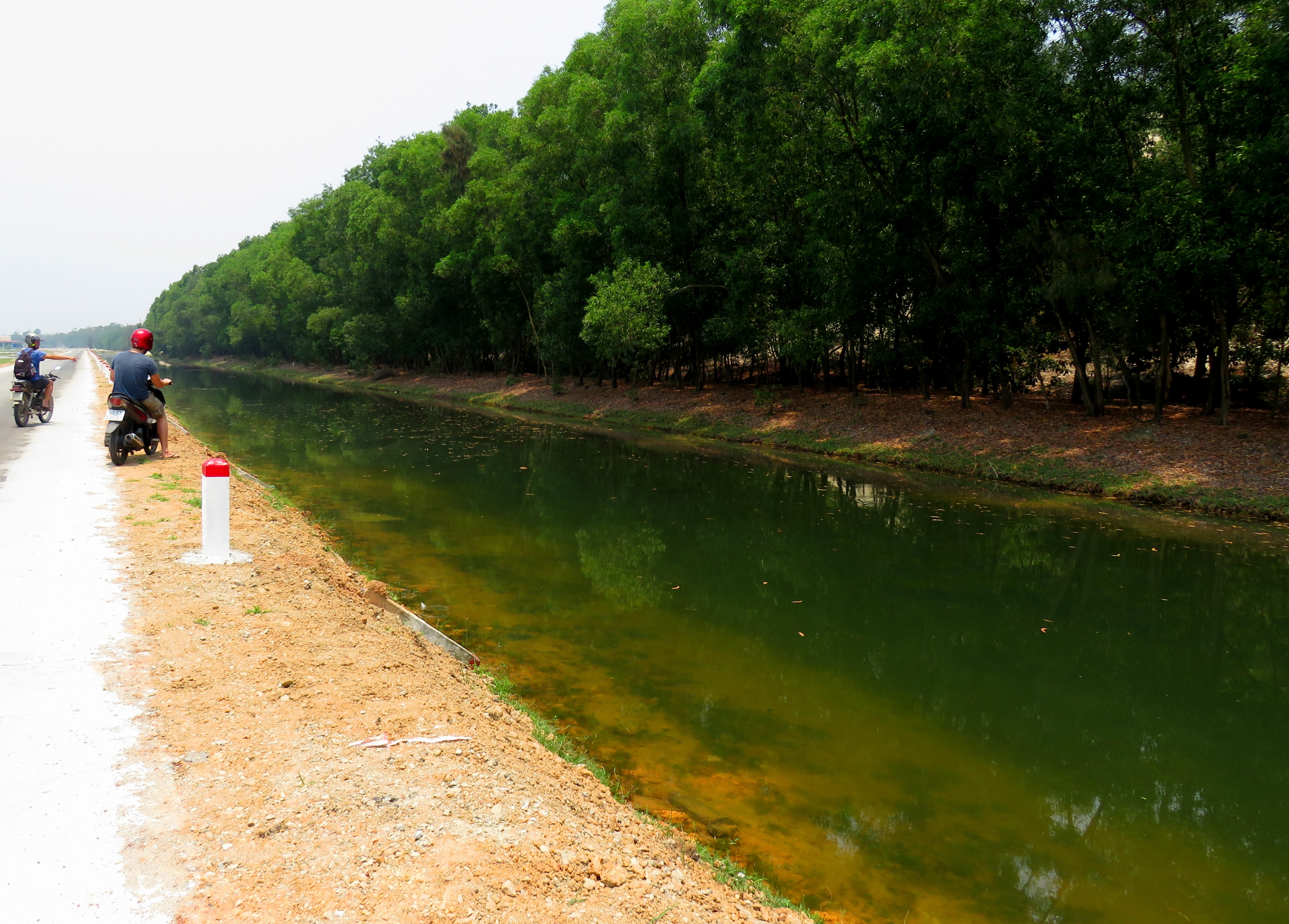
Quiet road through the trees.
|
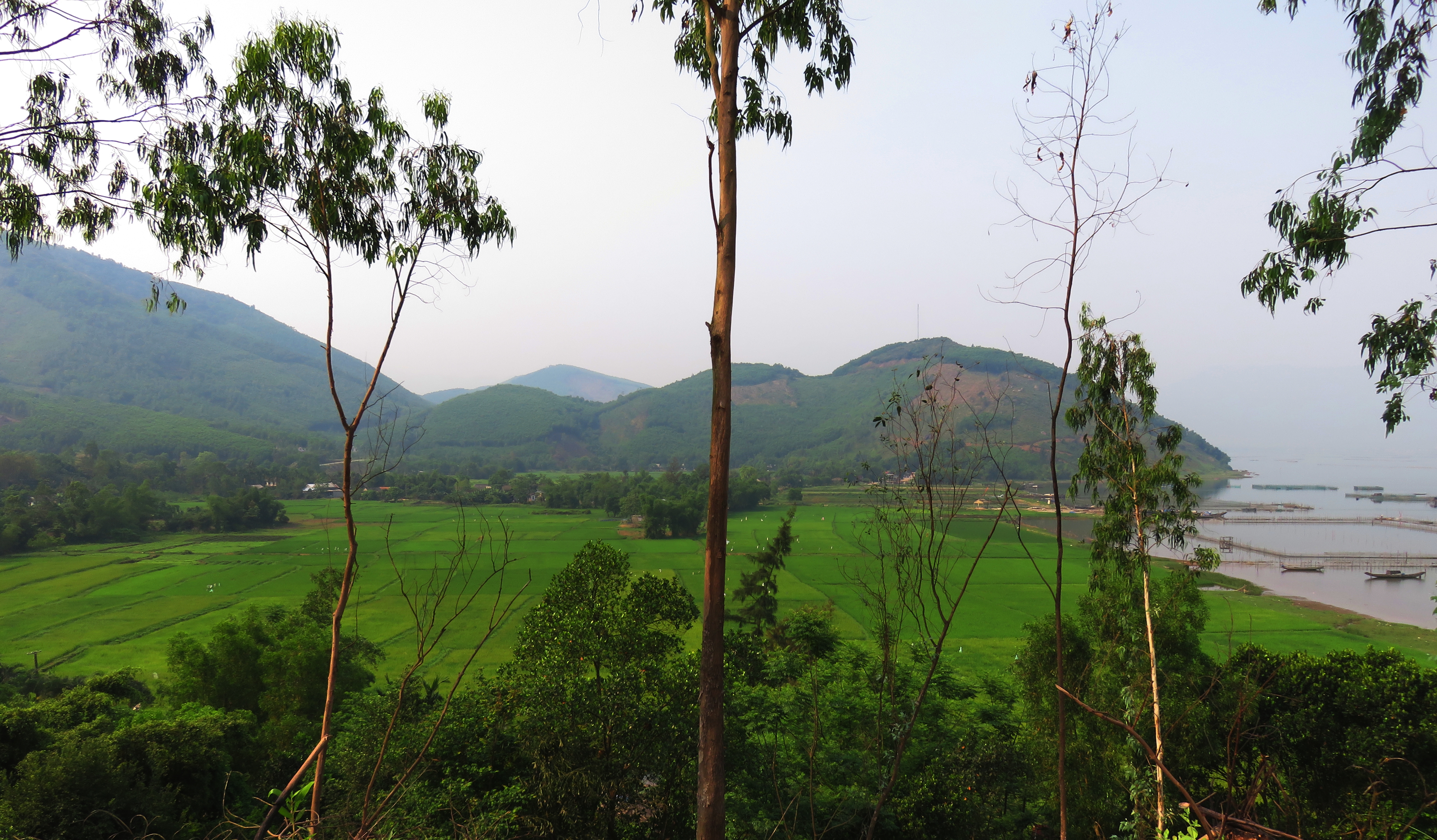
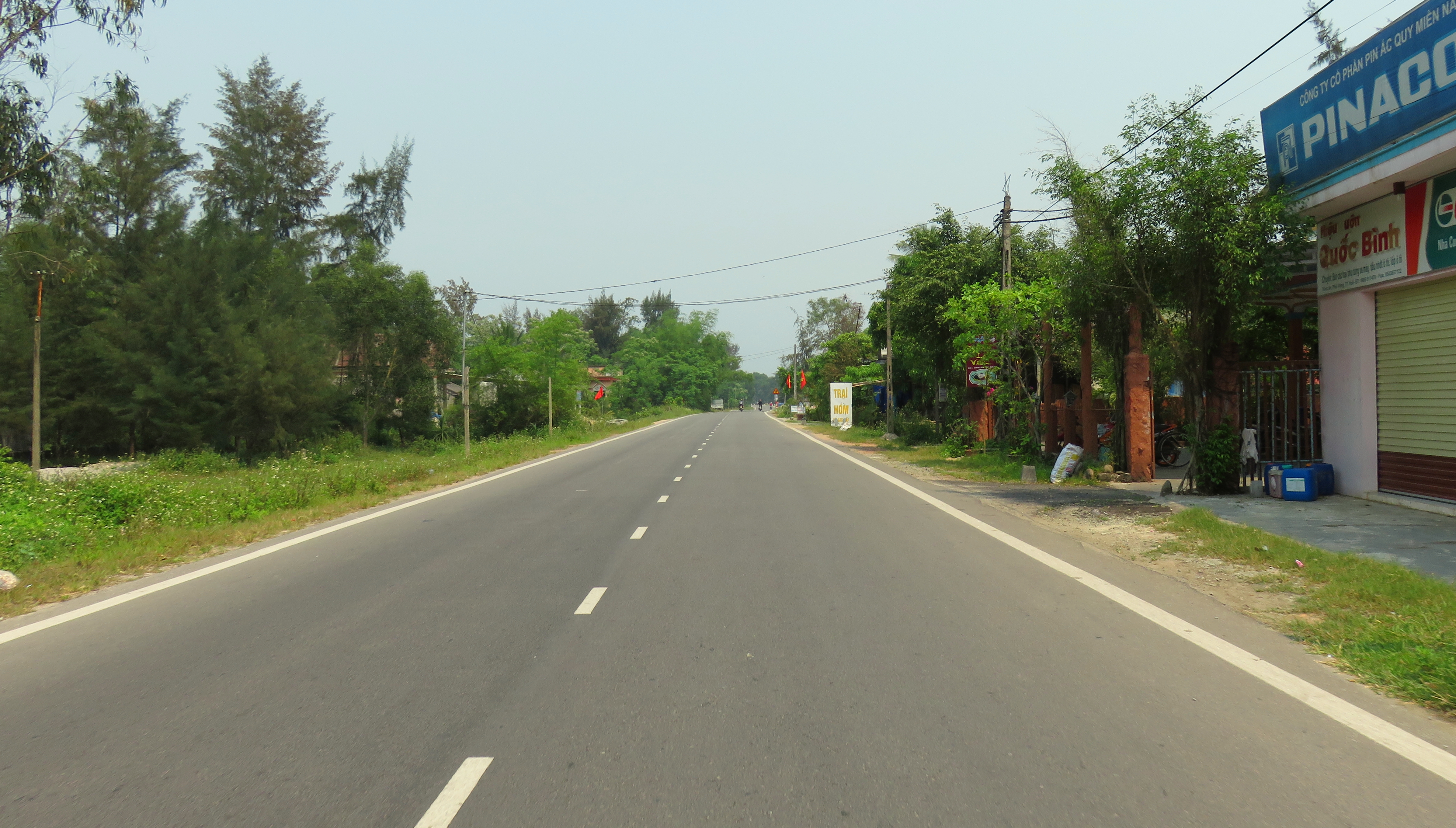
We chose to do this road from east to west, as part of our April 2016 Quang Tri Loop. The end of the road at the eastern end used to loop around quite a ways from the highway, but thanks to the new Phuoc Thuan Tunnel, the 49-B now takes off immediately next to the north entrance of the tunnel. The first part of this drive is along the base of the mountains of eastern Phu Loc, winding in and out of several small valleys tucked away at the base of the peaks, with an amazing view of the Lagoon to the north. Most of this road is pleasant driving along small villages or through groves of trees.
Hidden Valley of Loc Binh.
|
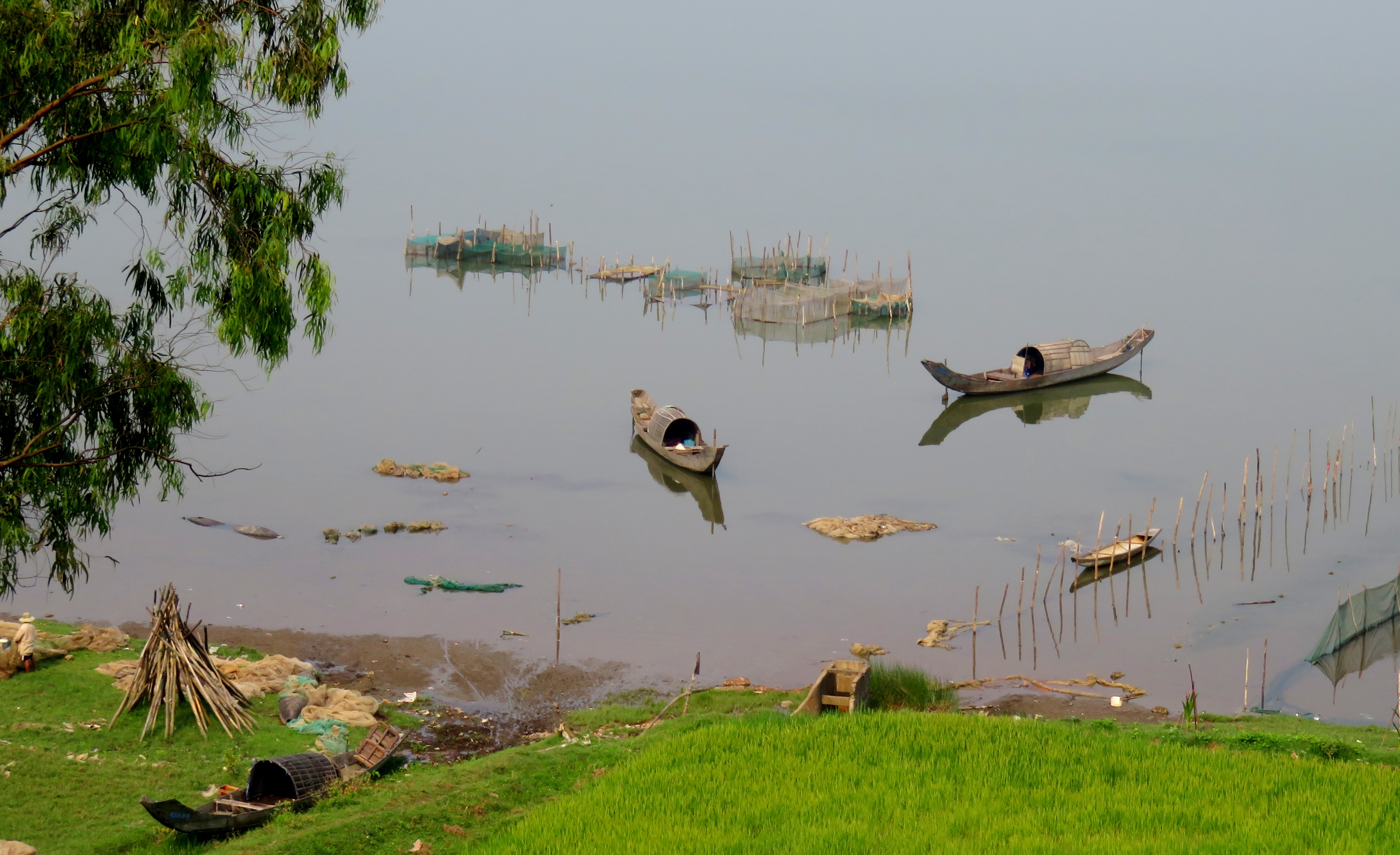
Traditional fishing practices still dominate the area, even in the 21st century.
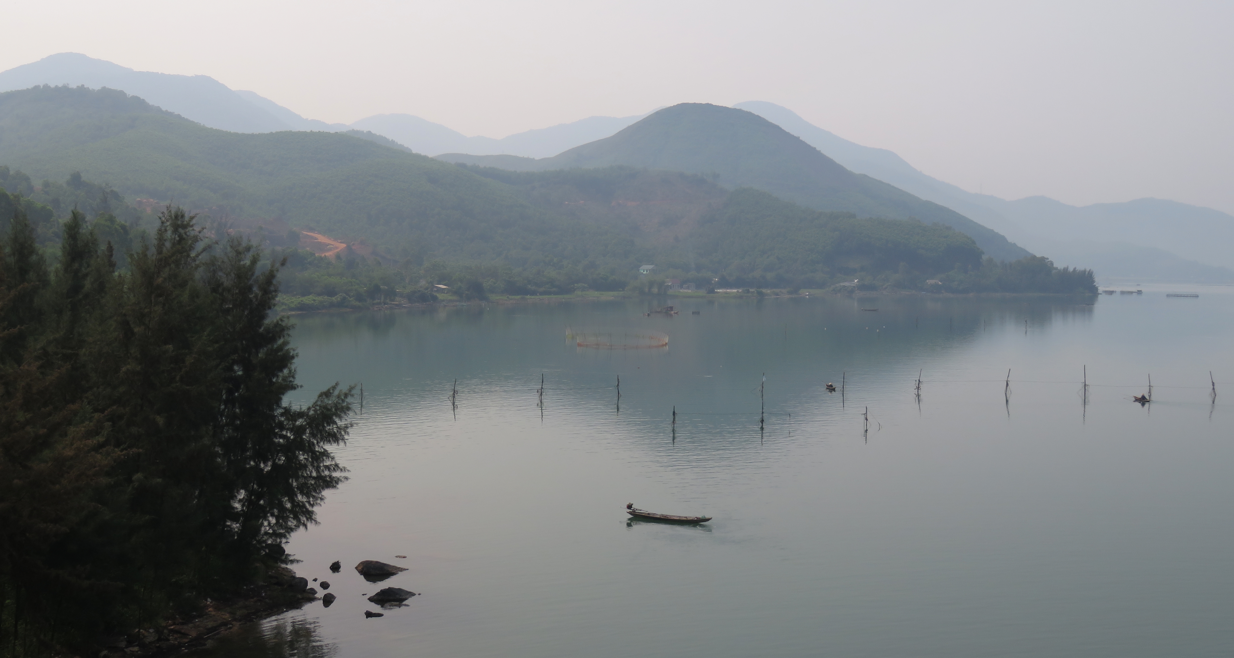
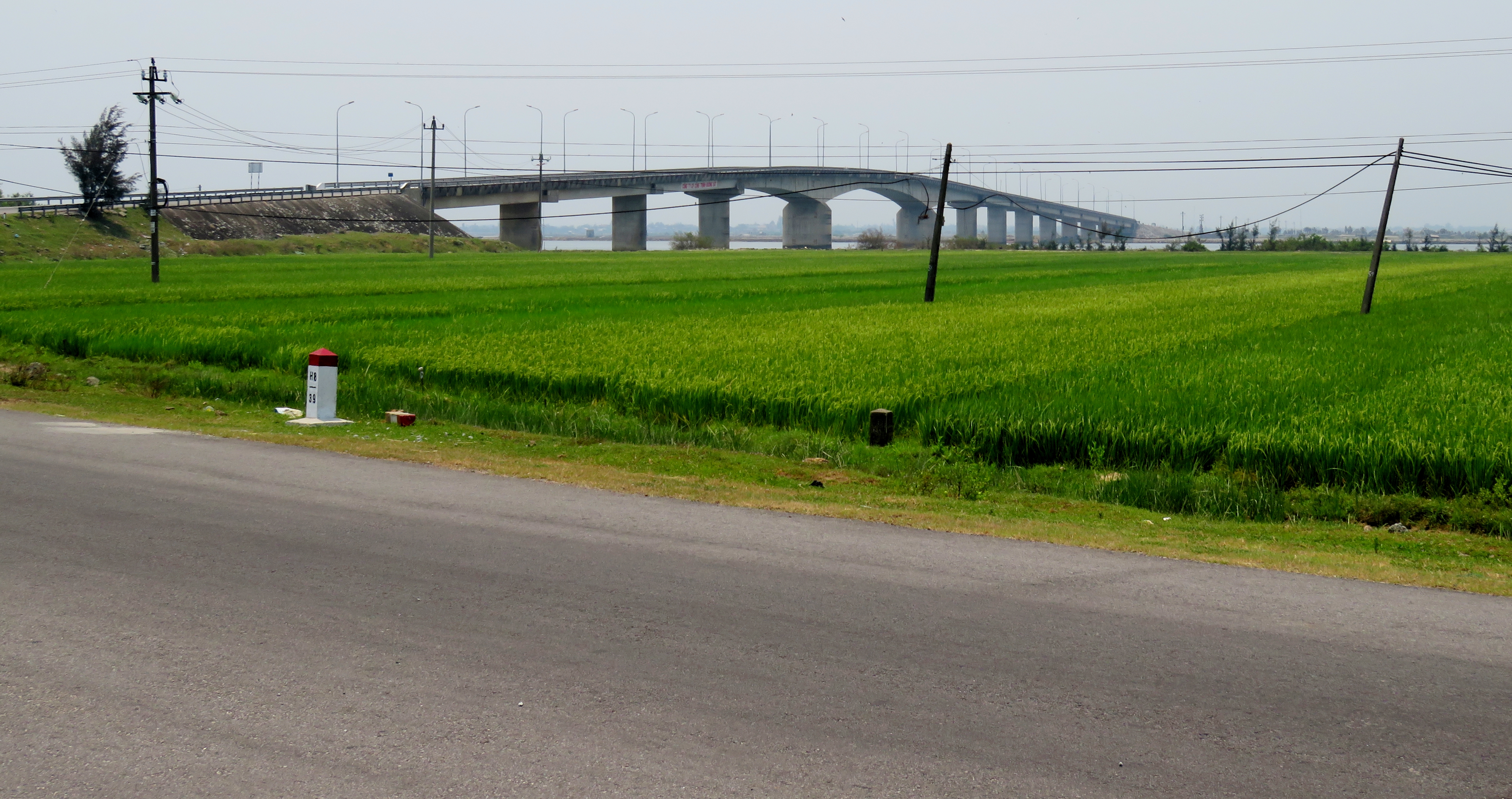
At the end of the mountains, you cross the Tu Hien Bridge, finally landing on the sandbar itself. From the bridge you can see through the channel to open sea to the east, the sandbar to the north, the Cau Hai Lagoon on the west and the Phuoc Thuan mountains on the south. Once across the bridge the town of Vinh Hung comes up quickly. This seems to be a somewhat prosperous place; there has been some decent land reclamation here, with new streets being laid across the freshly laid dirt. There is some construction here, as they are upgrading the road to the meet the demands of the local traffic.
The road crosses along the bottom of these mountains.
The open ocean beyond the beach.
|
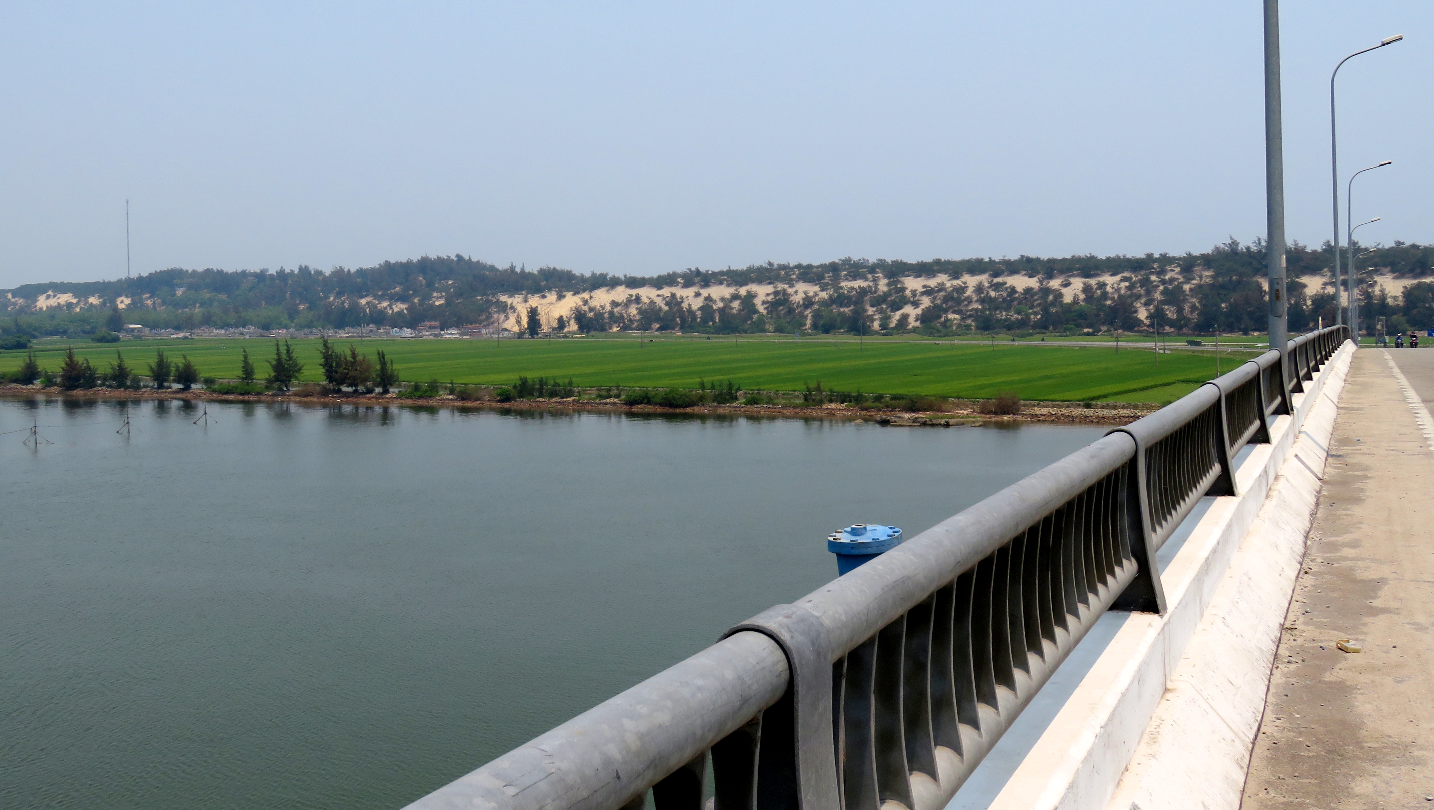
On the Tu Hien Bridge.
|
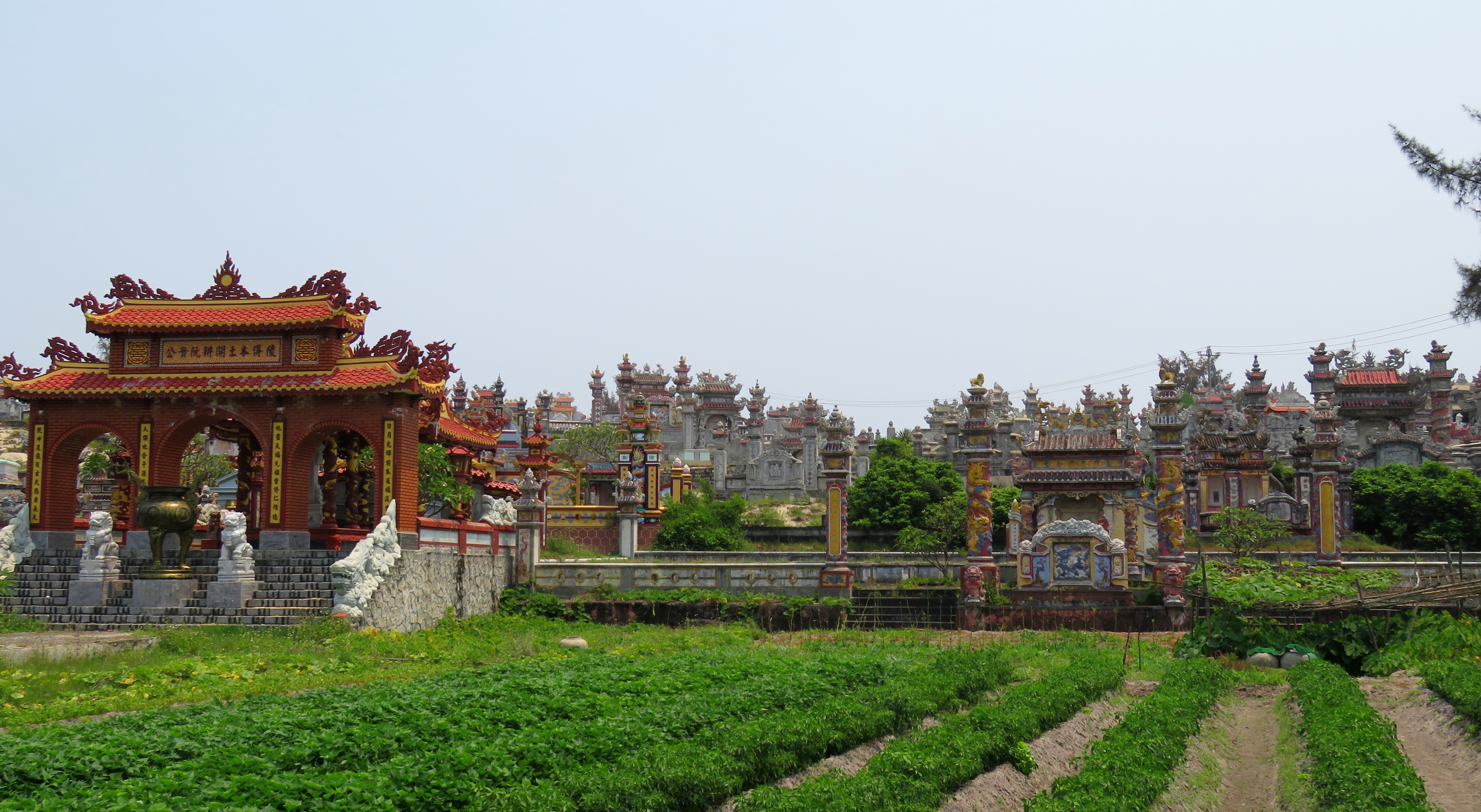
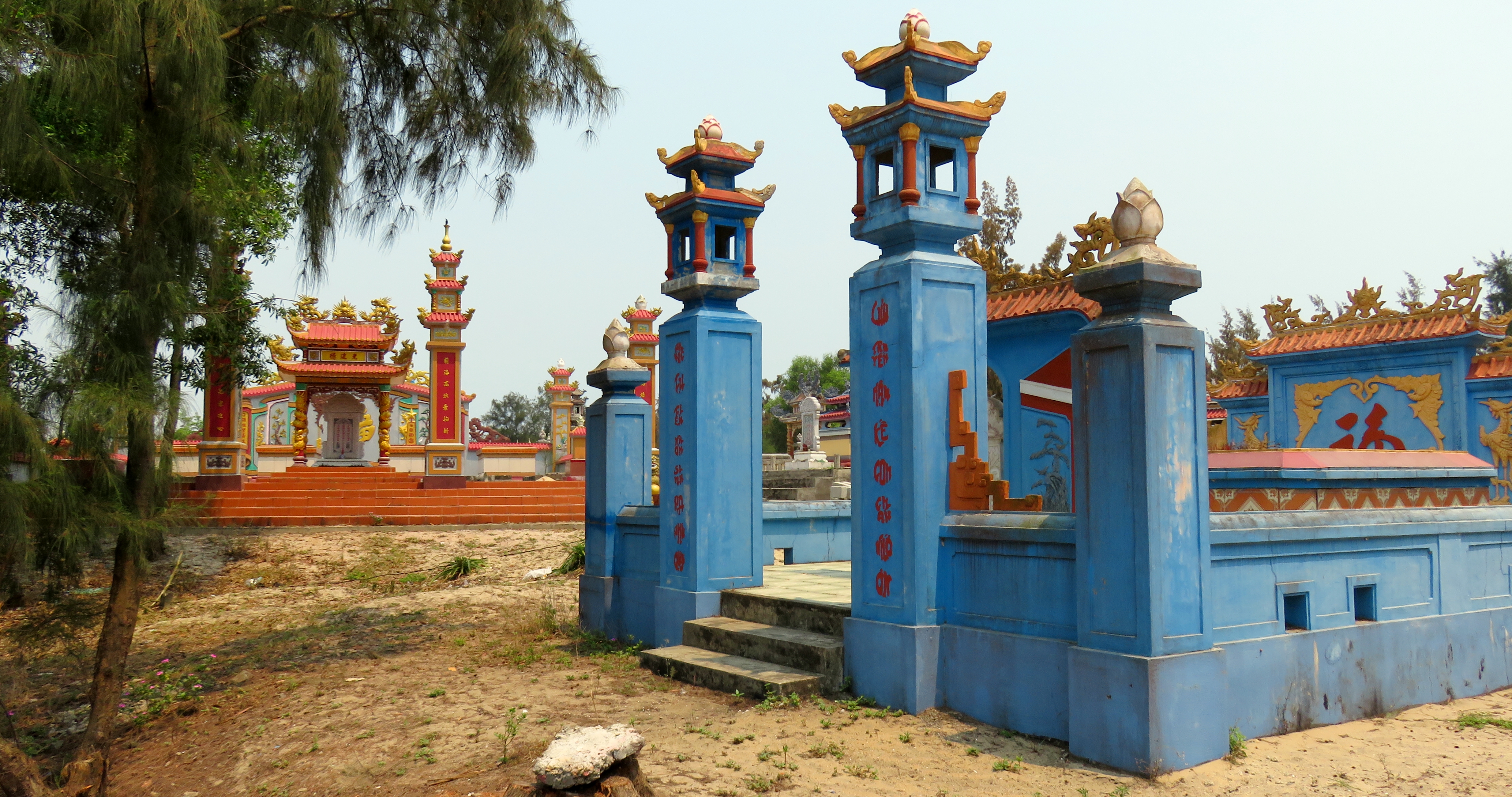
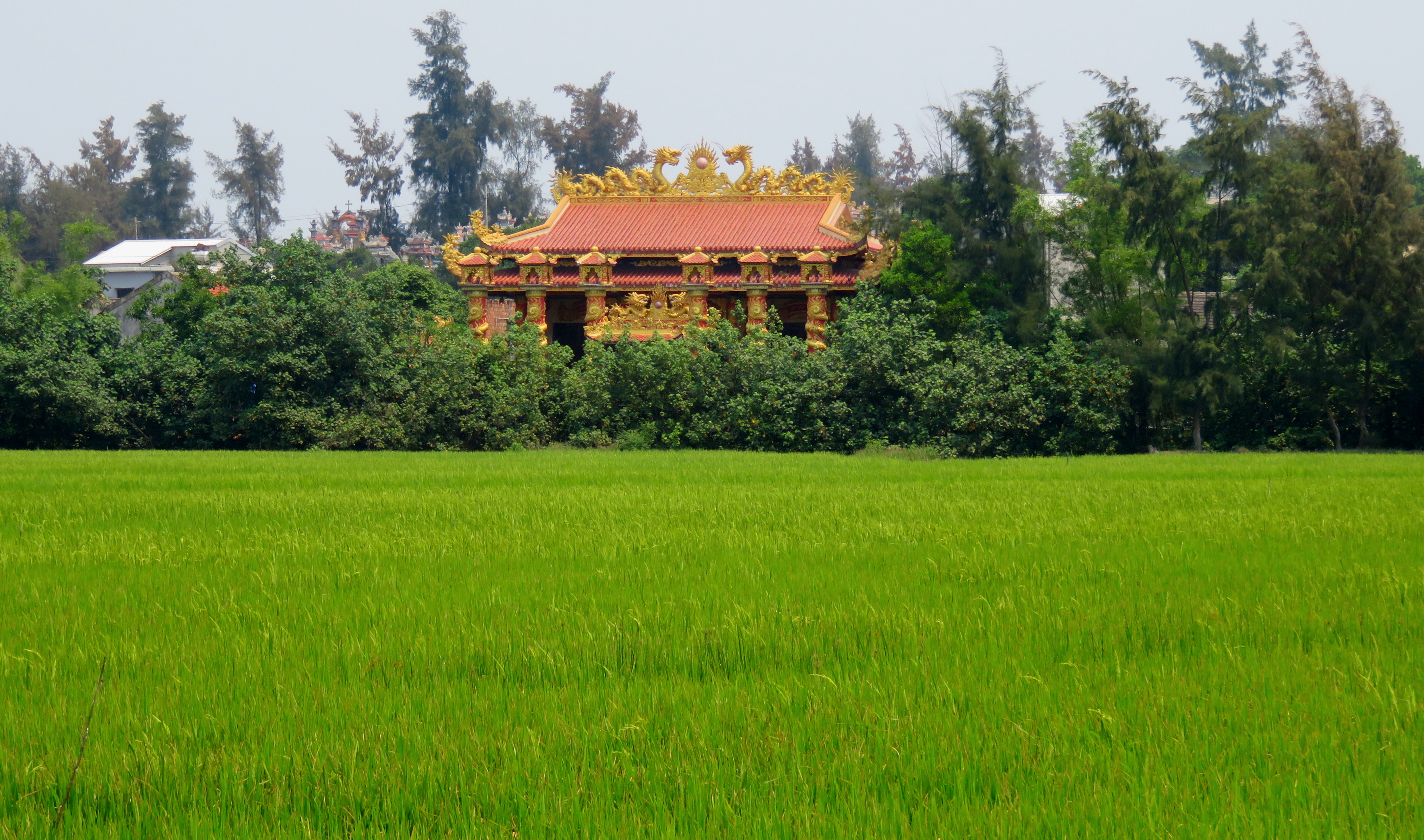
Once outside of Vinh Hung, the road becomes much nicer, and you can pick up some good time. Also, once outside of town, the first examples of what make this road so special begin to appear. At first there are just a few tombs, and apart from some of the tombs being much more ornate than what is common around Da Nang, it feels like you are cruising through a classic Vietnamese cemetery. But, this one doesn't end. It just continues on and on, for kilometers. Soon you start seeing Catholic tombs and churches amongst the Buddhist tombs, dinhs, and pagodas, a seamless mixture of both religions and their respective sites, with no conflict or barriers between them.
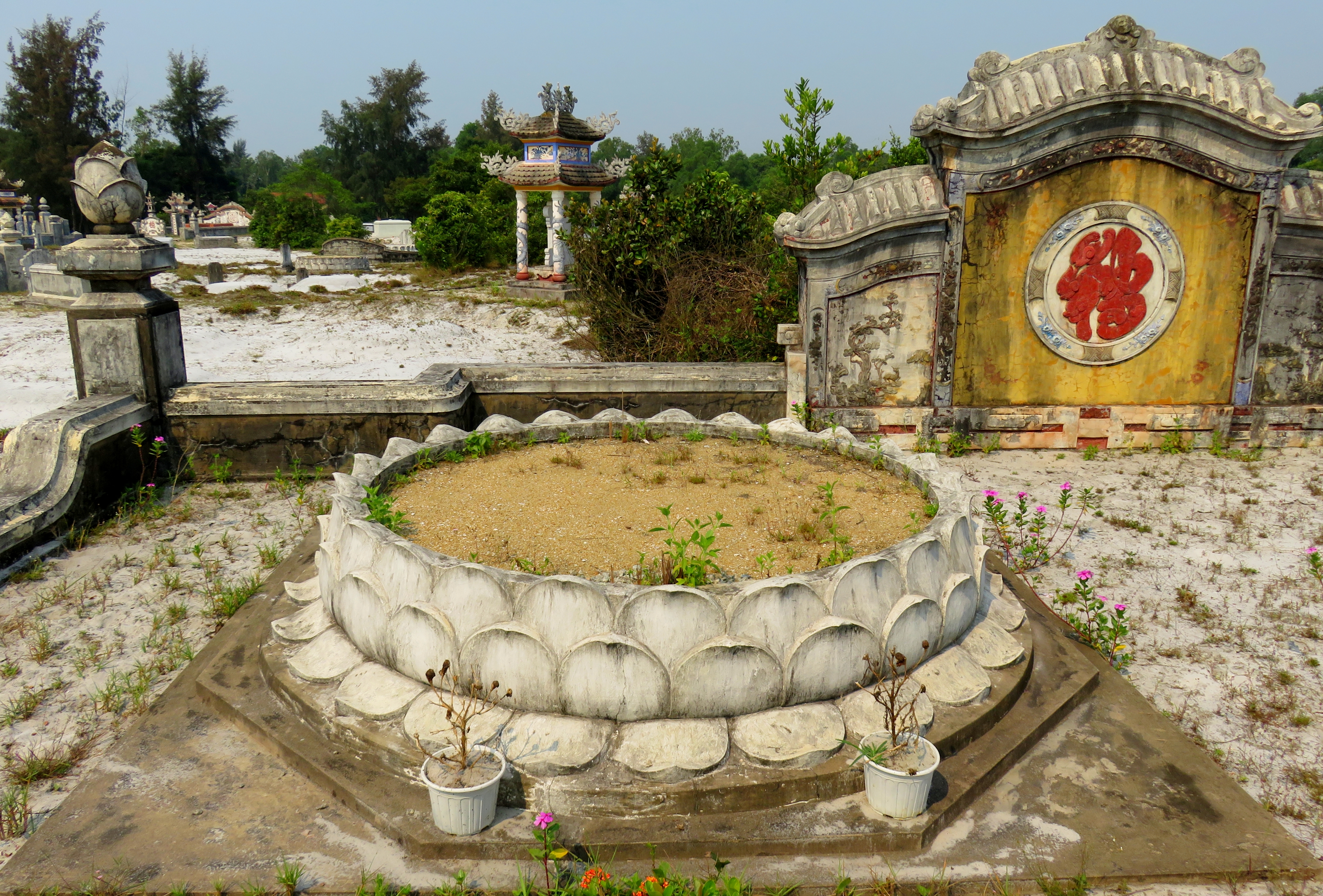
These style of tombs are different from what we see around the local Da Nang area.
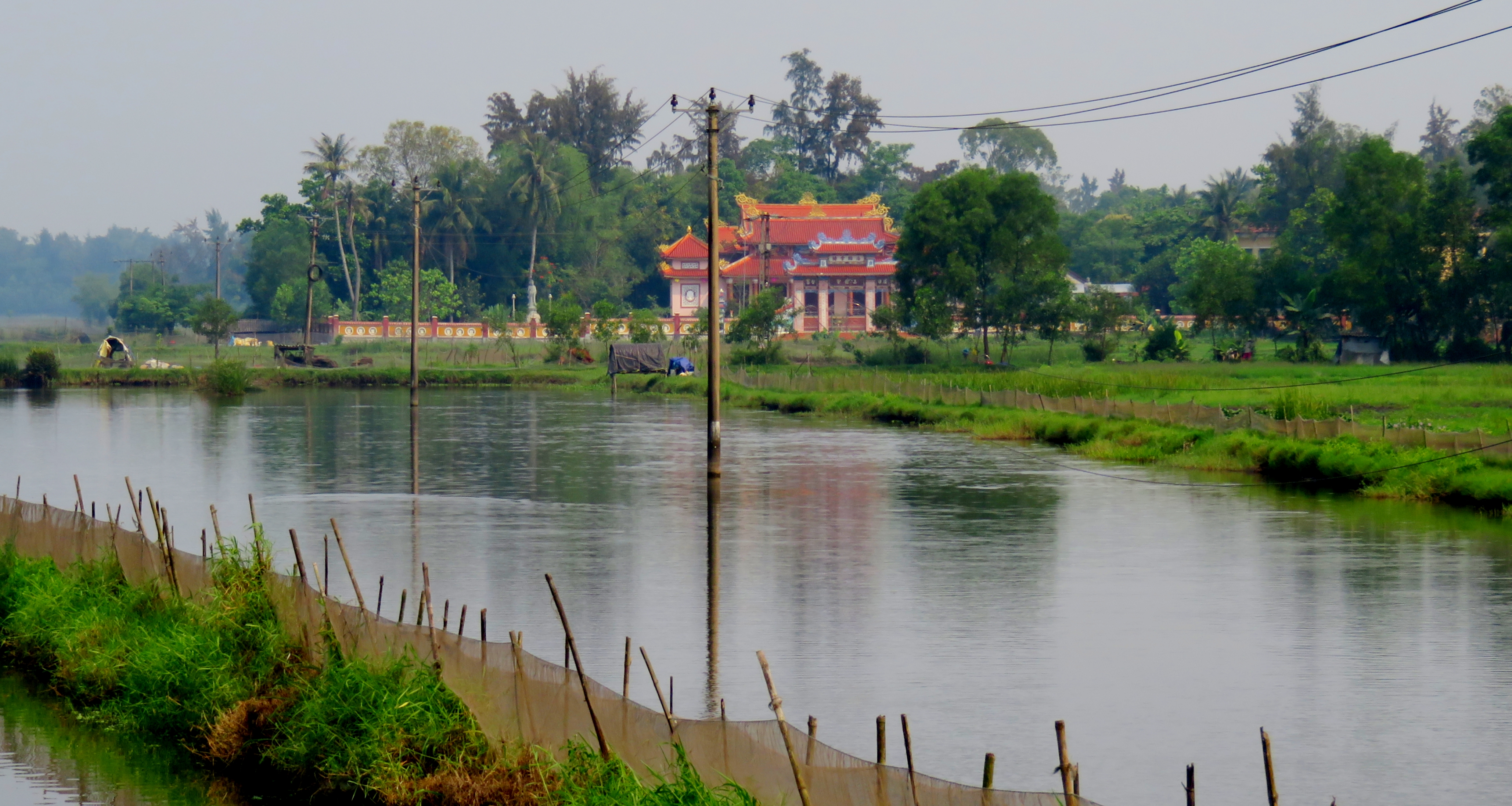
Pagoda along the ponds near Vinh Hien.
|
These tombs continue for a long ways. The road stays quite nice and is contained with the trees for a while before breaking out into the open, and journeying along the estuaries, aquaculture ponds, and shallows of the Cau Hai Lagoon. We made good time up this road, enjoying the fine surface and beautiful scenes. The road kept crossing small sections of rice paddies mixed with treed villages and burial sites. Traffic was a bit heavy due to the holiday, and we saw quite a bit of foreigner traffic as well, most likely coming from Hue.
|
|
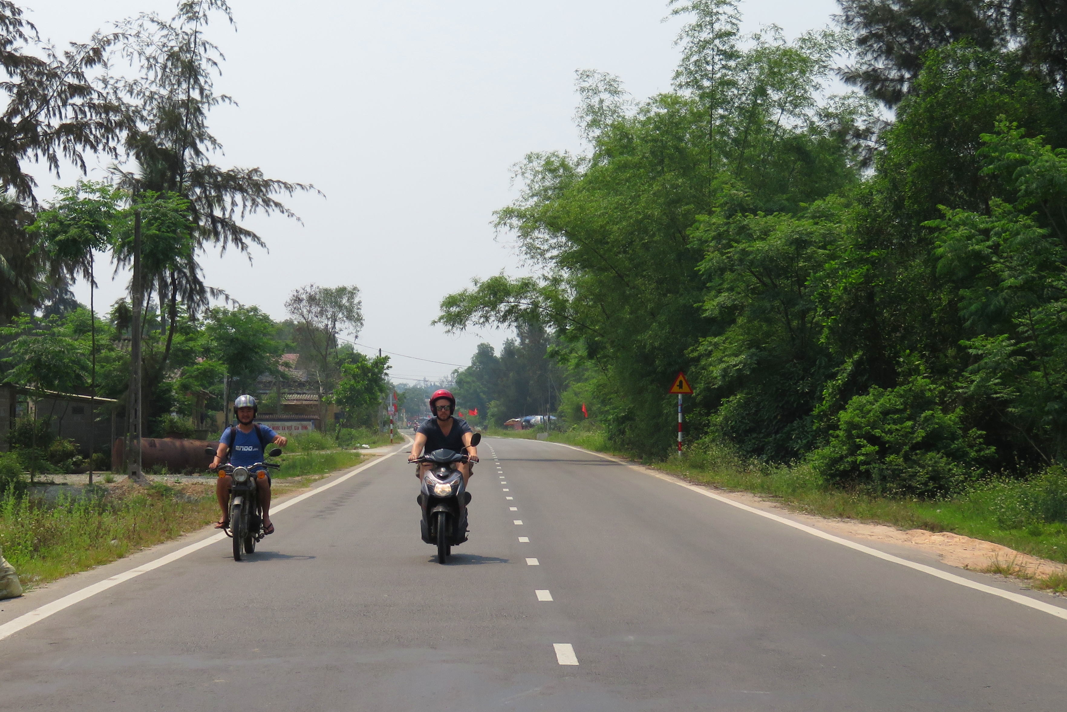
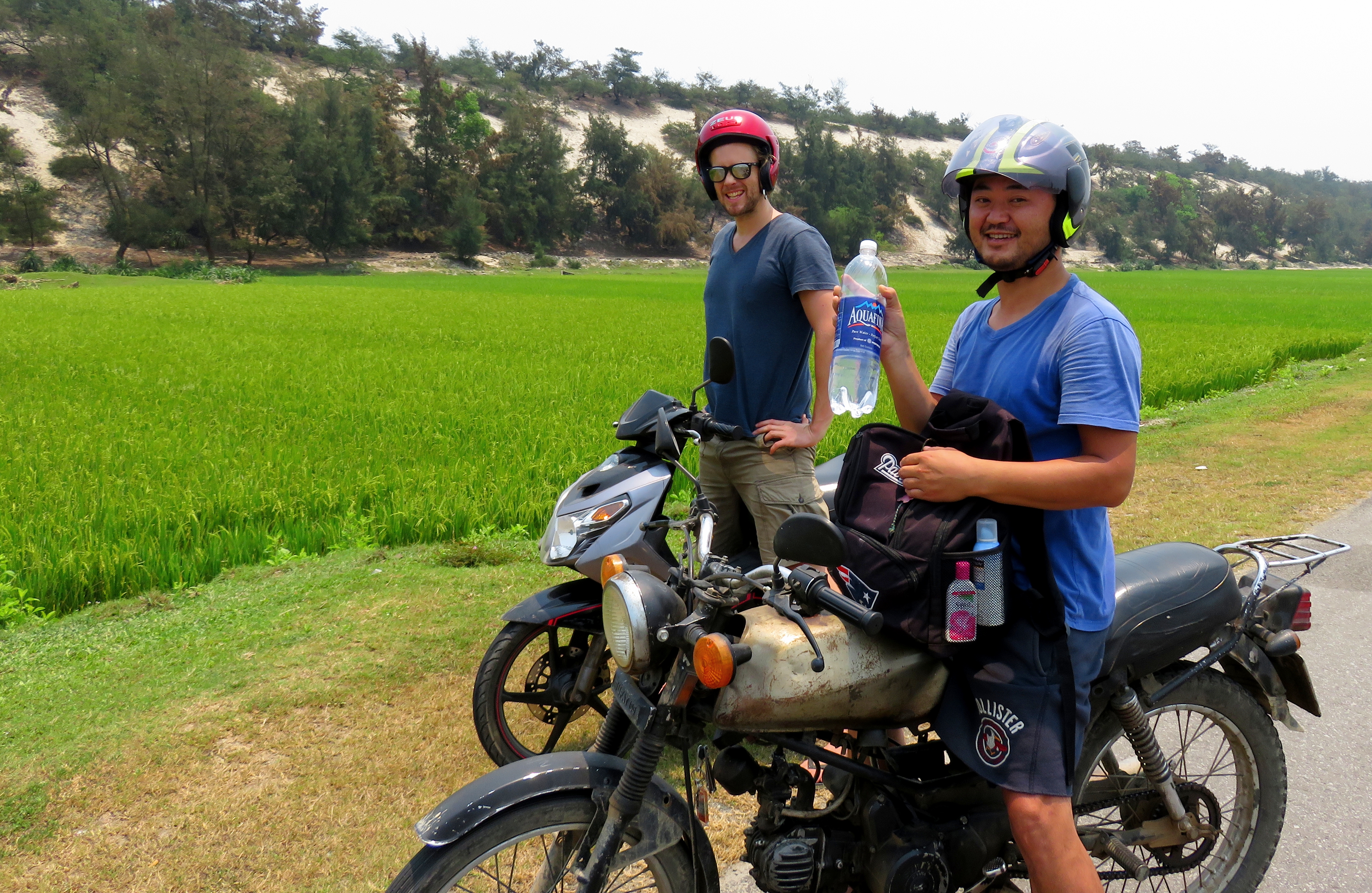
Jason and Luke cruising along Hue's Highway 49-B.
Stopped to appreciate another small local village.
Phu Dien
A ways up the road, closer to Thuan An & the road to Hue, perhaps 18 km or so from Vinh Hung is the area known as Phu Dien. Here there are two things of interest: the remains of a Cham tower, and a section of the sandbar's eastern beach. The Cham tower is in pretty bad shape; although it has a protective structure built over it, it is basically nothing more than it's bottom most layer, exposed to the open air with no roof. There appears to be a shrine inside, which is likely still used, but it's going to take some serious rebuilding to make this place as it was before. The beach is quite beautiful, if a little trashy, and there are some restaurants at the end of the road. There are some interesting looking local boats just down the beach, and by walking even 500 m in either direction you can likely find some amazing seclusion.
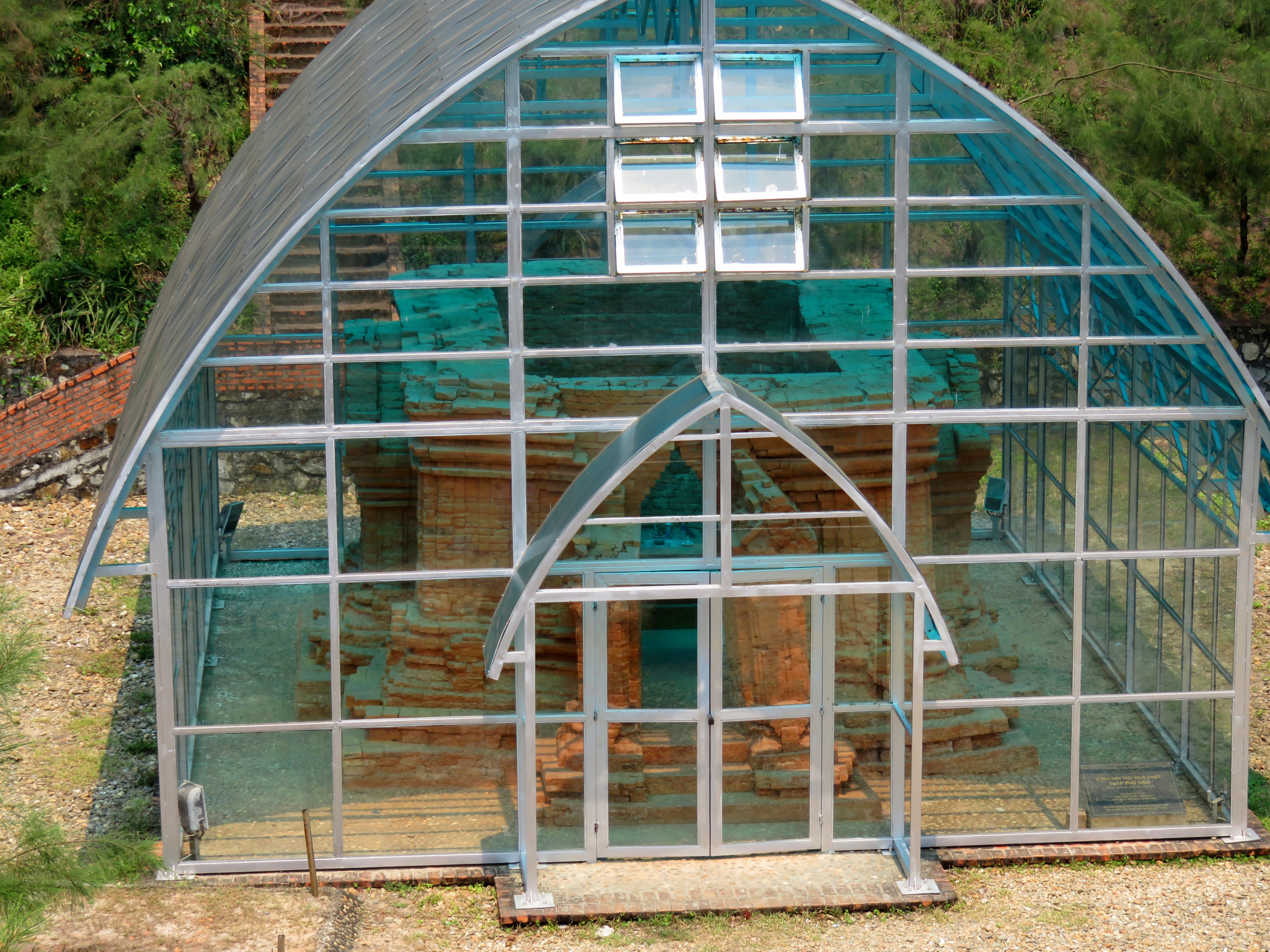
The remains of the Phu Dien Cham Tower.
Tombs near the Cham tower.
|
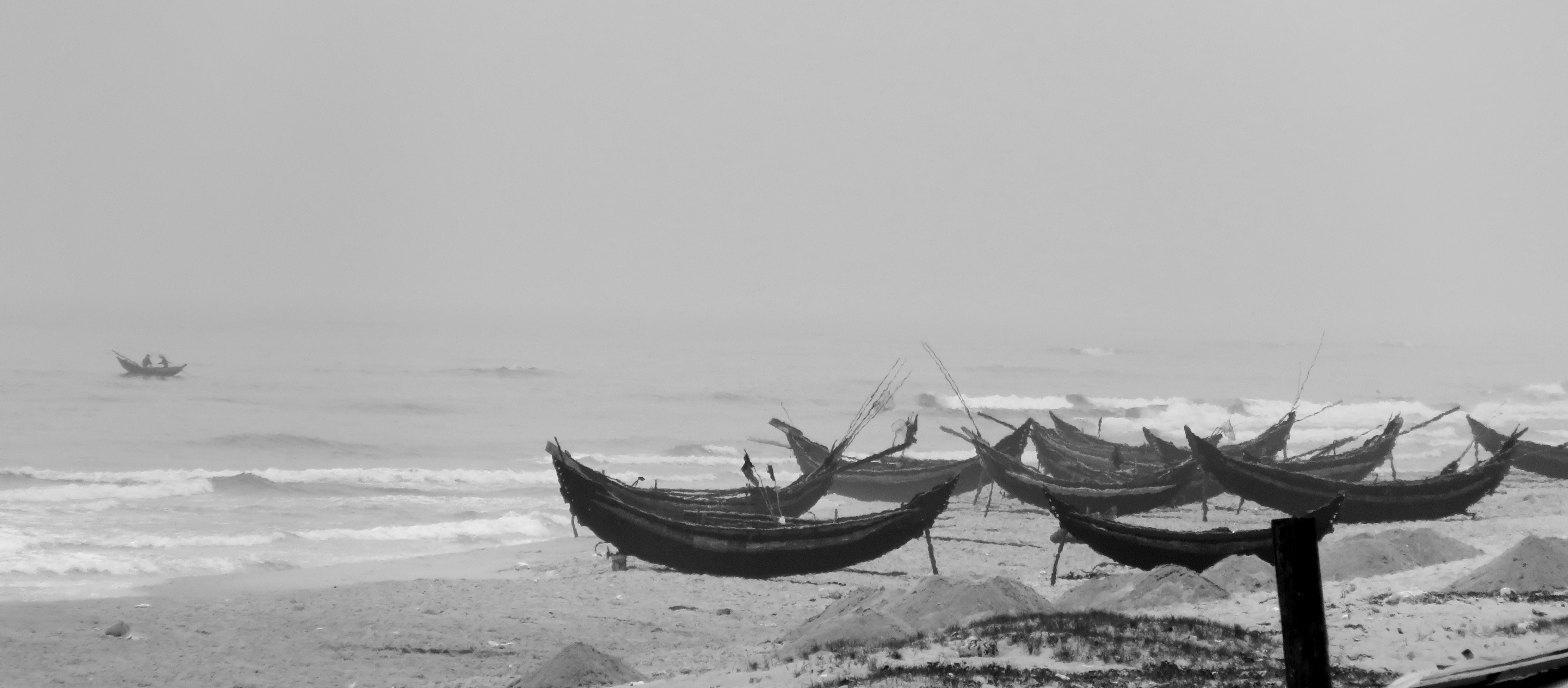
Local boats east of Phu Dien Beach.
|
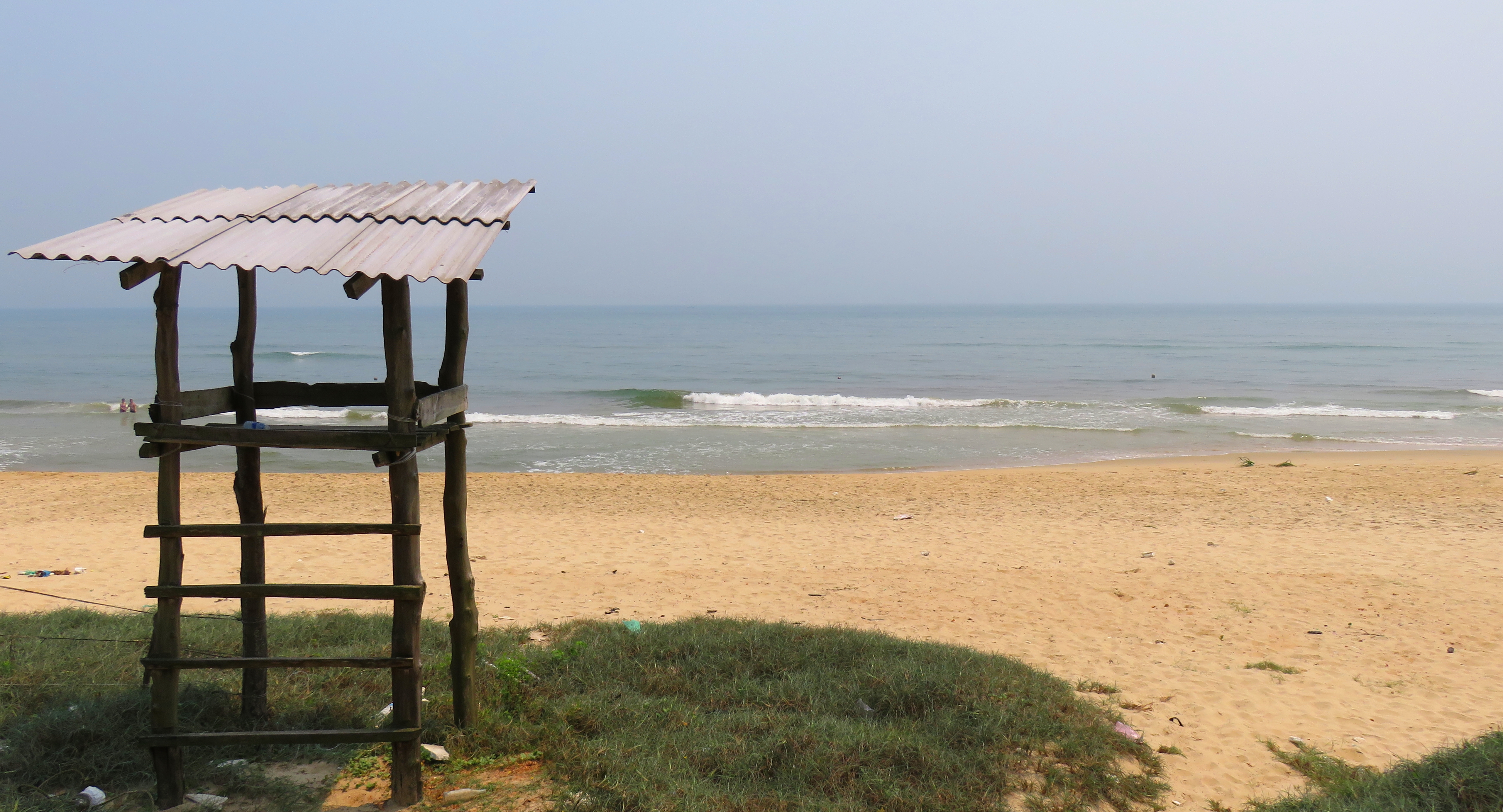
Phu Dien Beach, facing the open East Sea.
A Short Detour
|
Not too far past Phu Dien, we came around a corner and ran into some road construction that required a bypass. This wasn't much of a problem, and we were happy to oblige by driving around on some single track trails along the edge of the Lagoon. Along the way we chatted for a minute with a local fisherman, as well as stop for some great photos of the local area. On the way out we came across a truck struggling to make the narrow bypass, so naturally I took a picture.
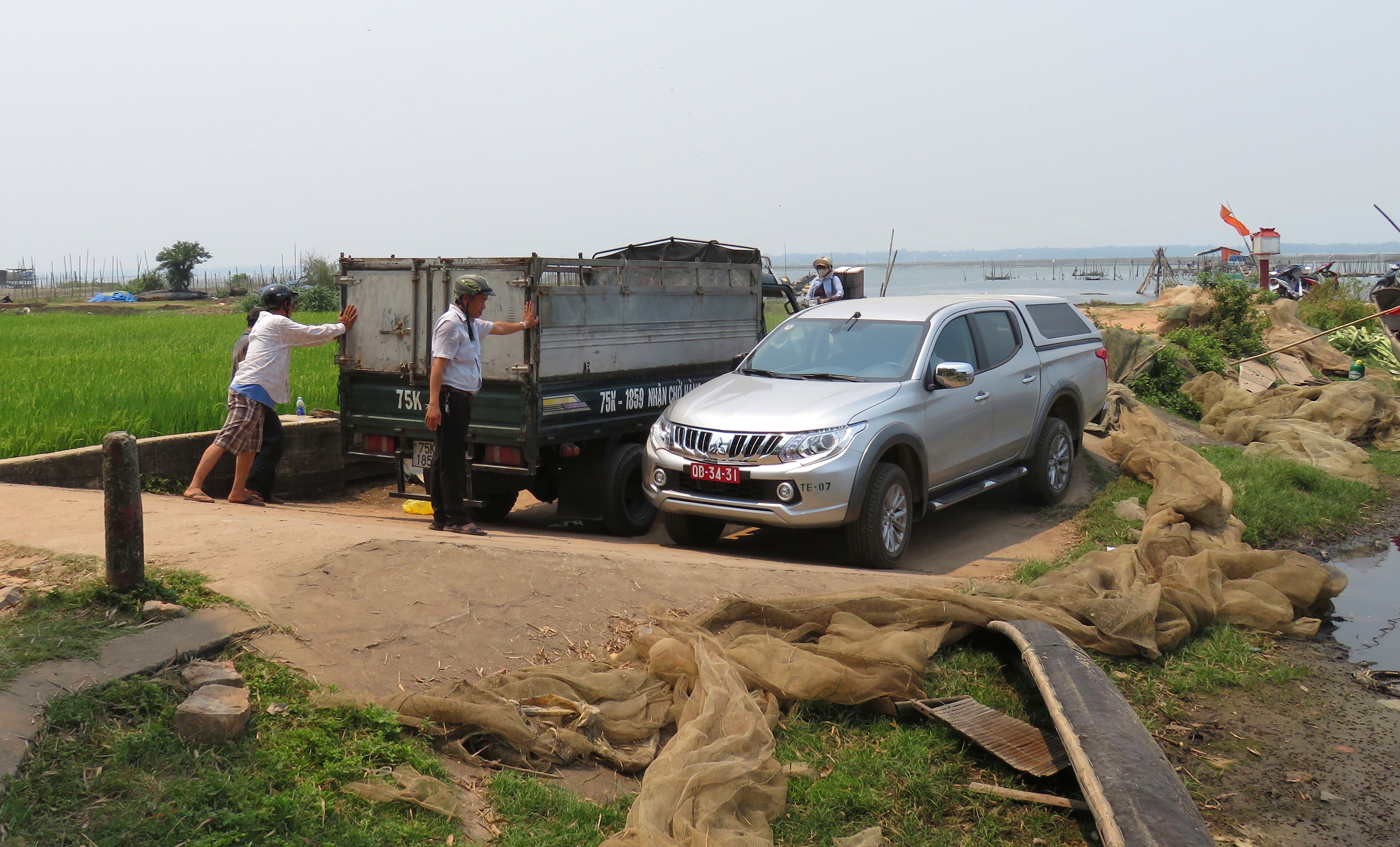
Uh-oh guys....
|
Backroad becomes the main road.
|
Detour through the rice paddies. Cau Hai Lagoon in the background.
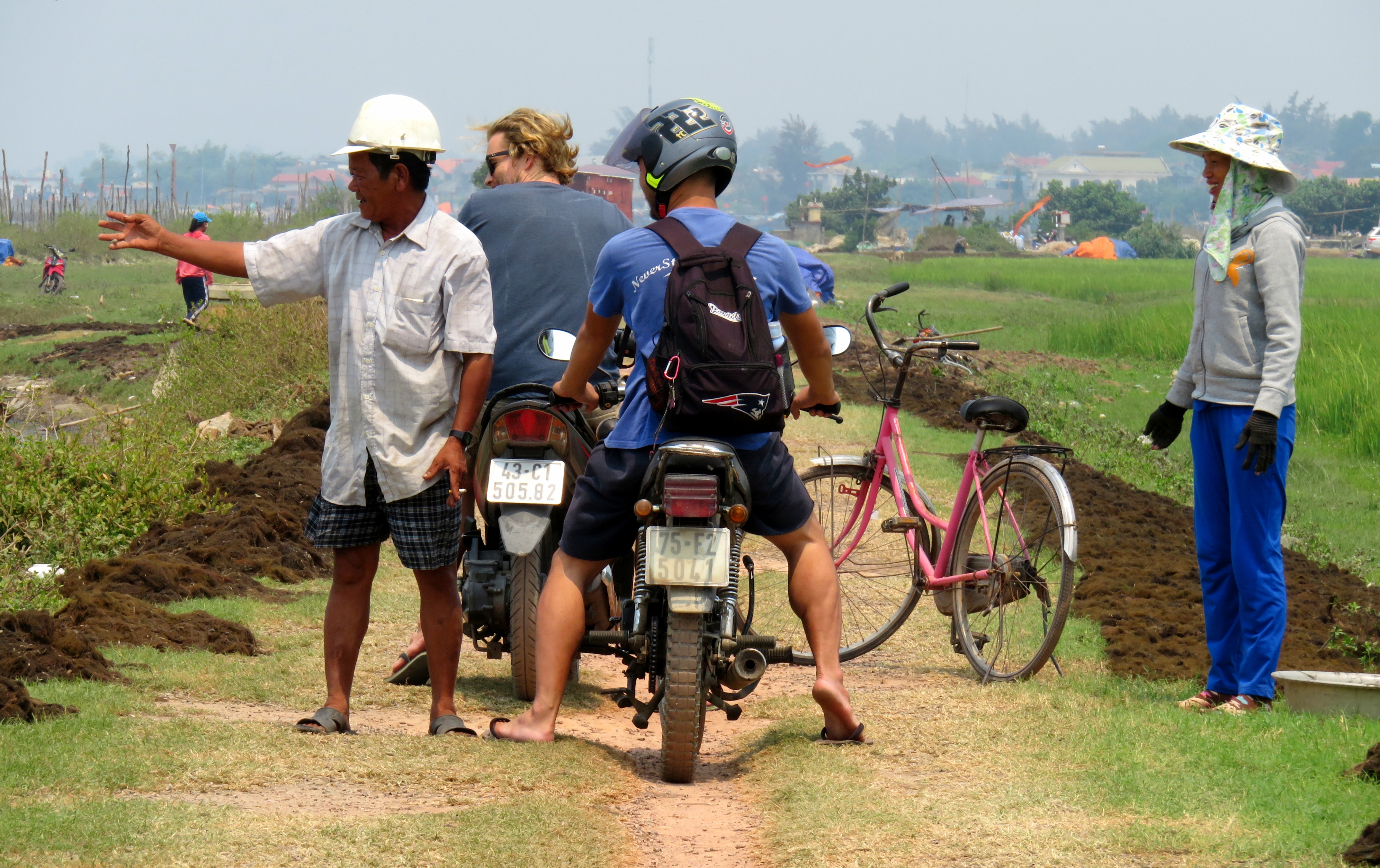
Talkin' with some friendly locals.
|
Nearby dinh across the paddies.
|
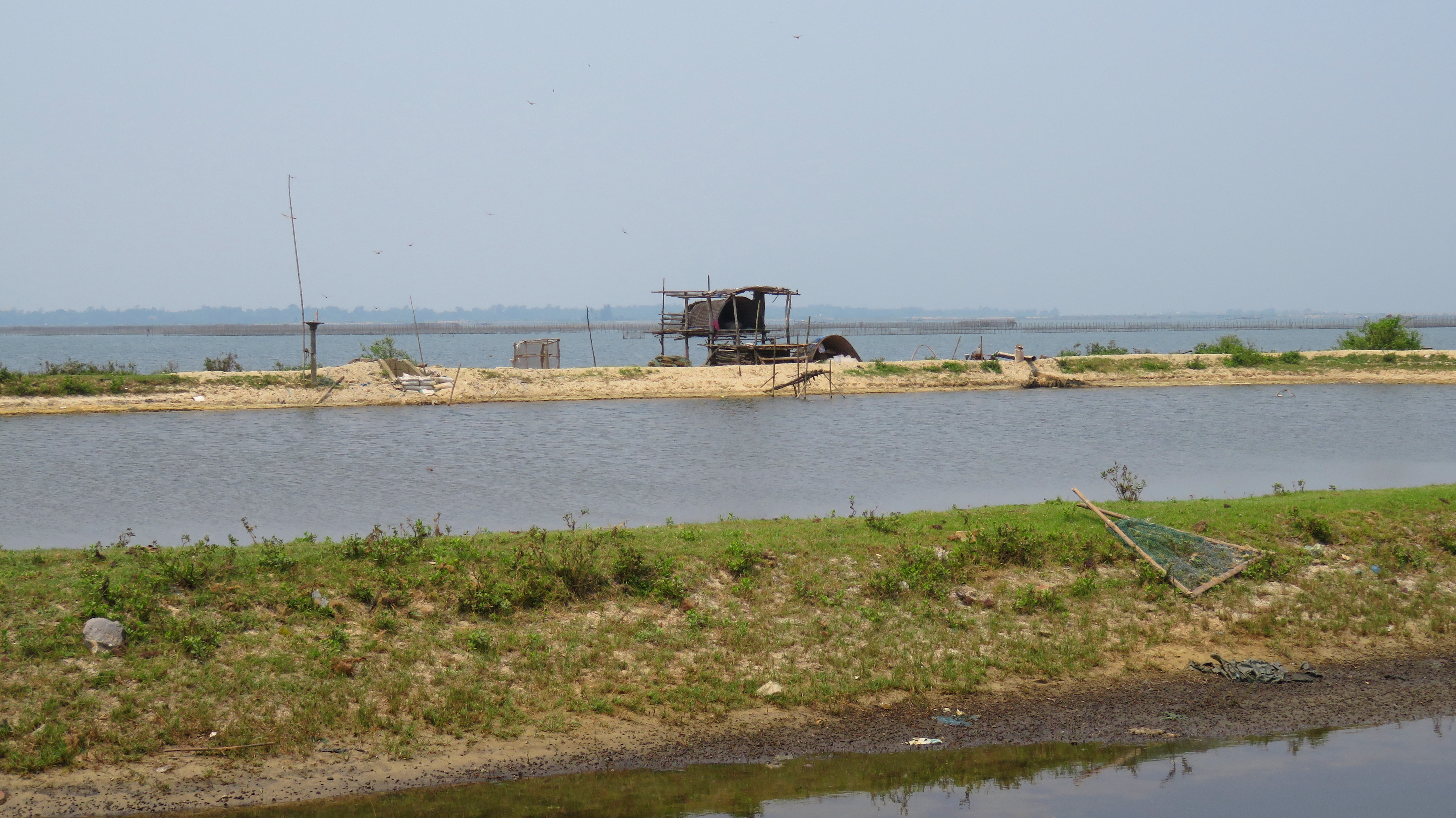
Local shack to watch over the aquaculture pond.
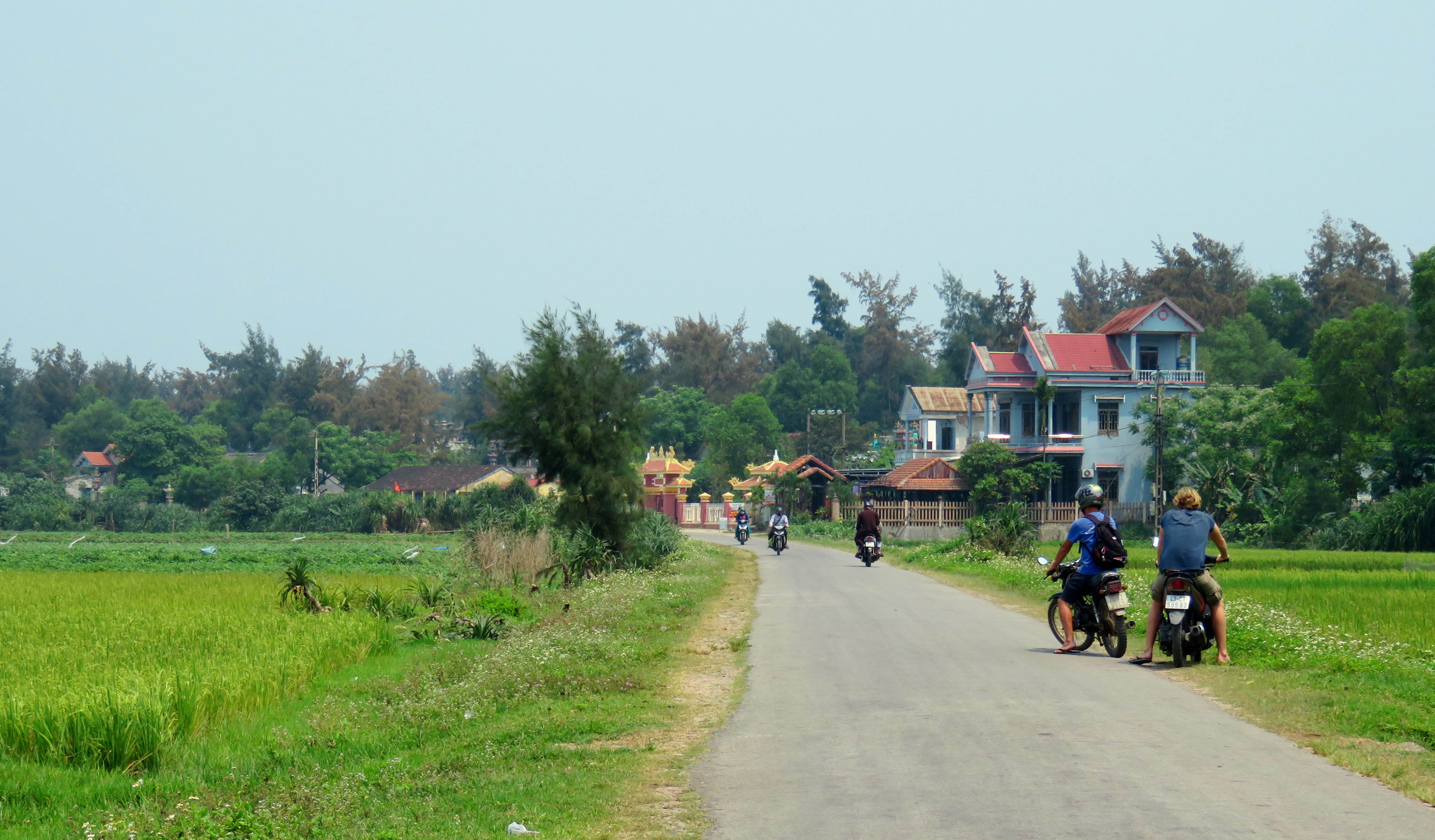
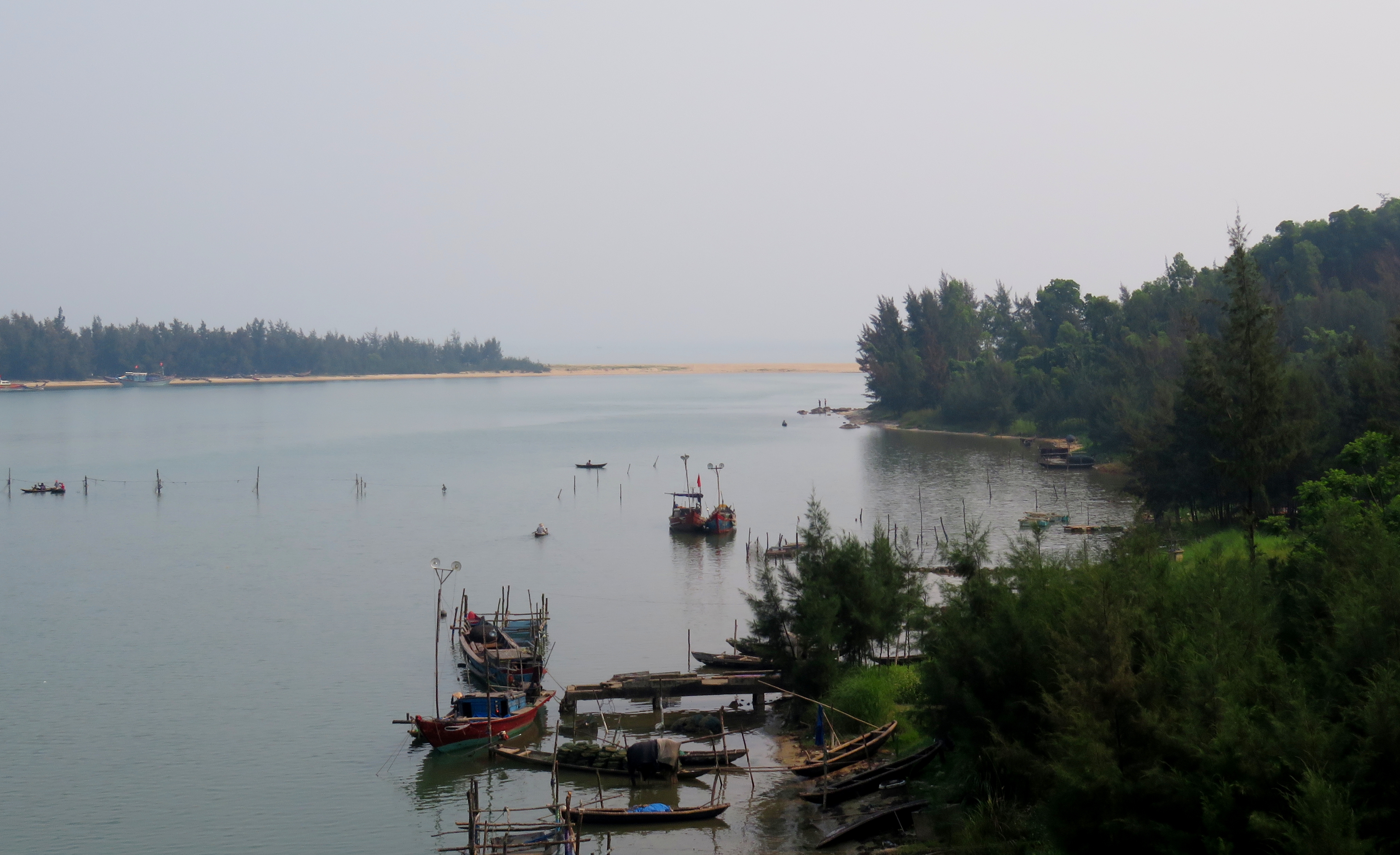
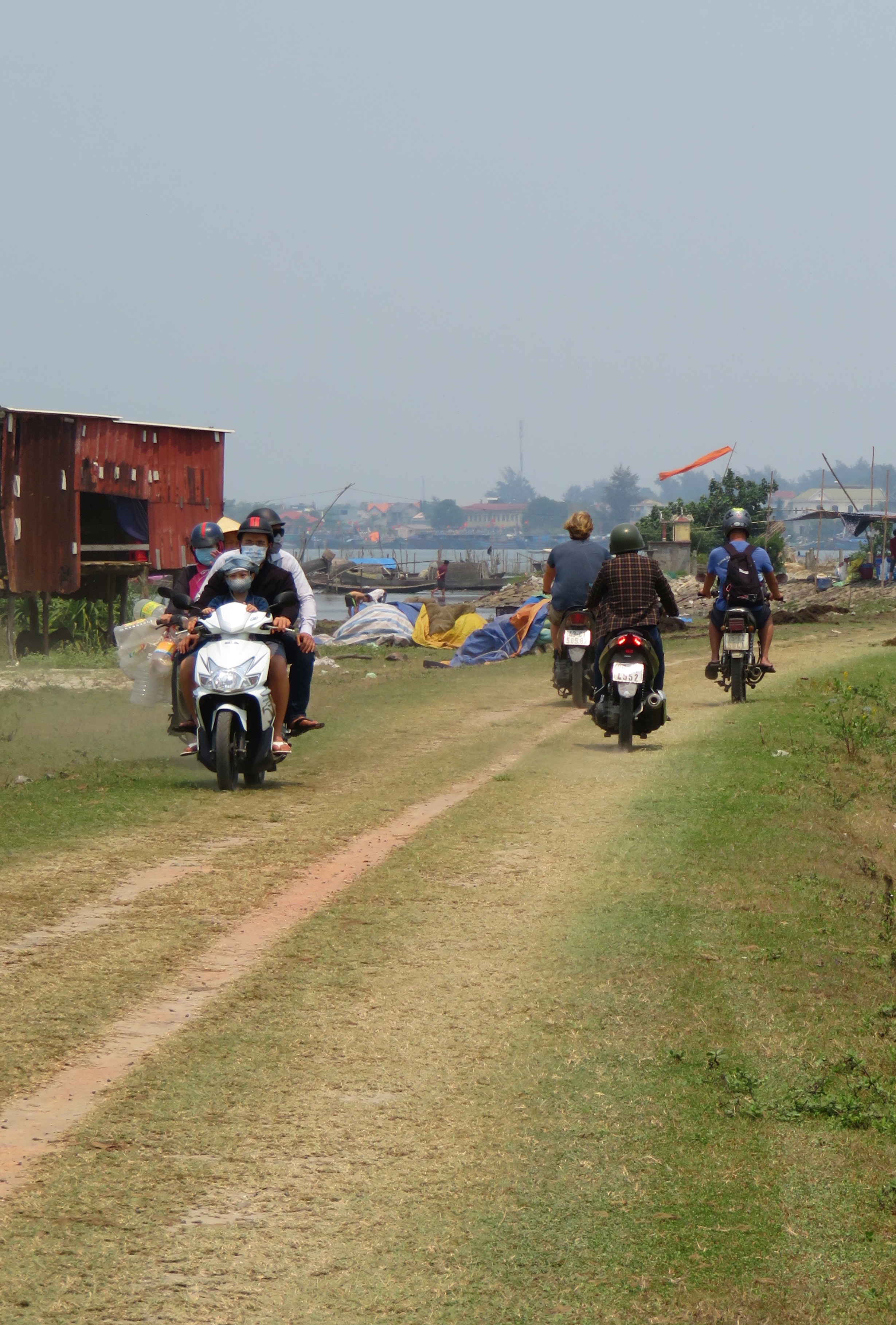
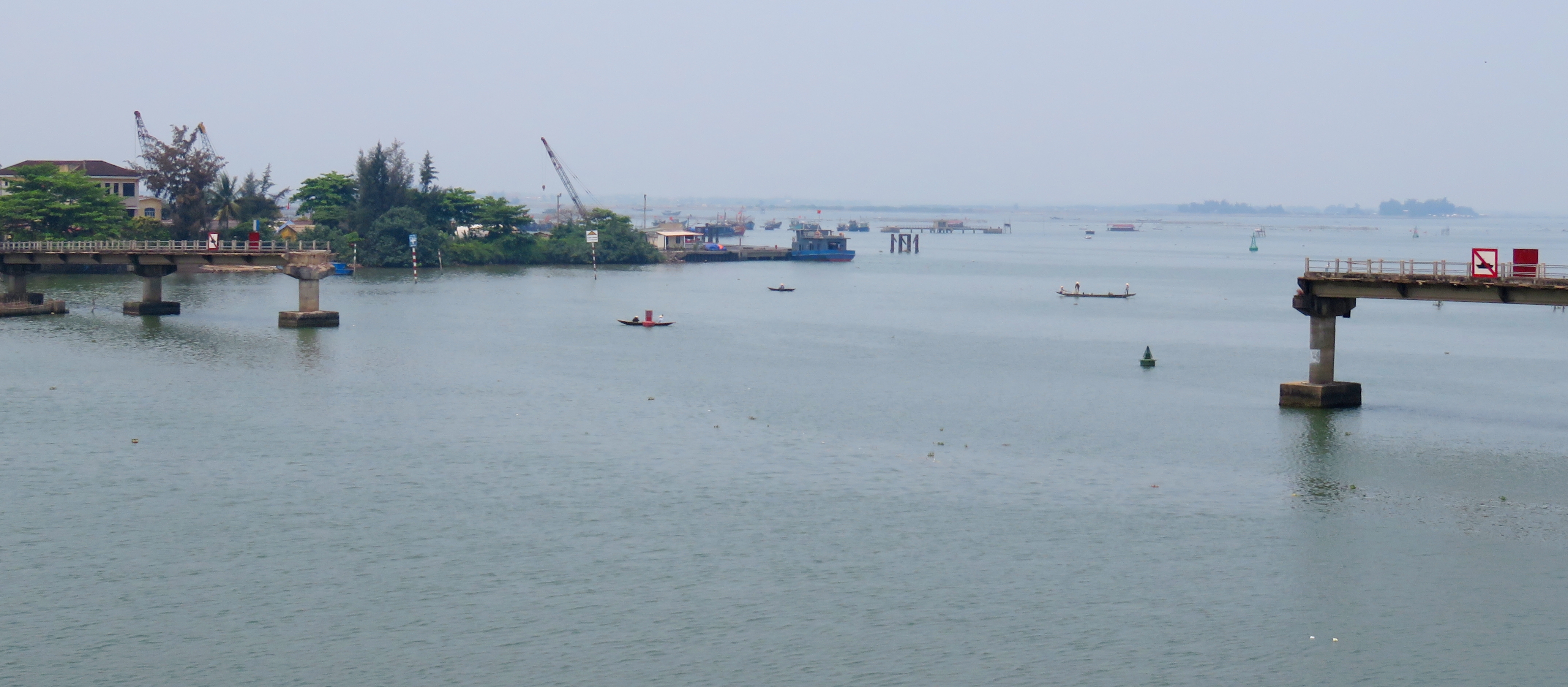
Back on the main road, we quickly found ourselves driving into the area around Thuan An Beach. Here, there is a channel that opens to the sea that separates the sandbar to the east and the long spit to the west. There is no bridge over this channel, so we had to drive a few kilometers inland, across a network of bridges, before we could get ourselves onto the spit to keep going northwest. Thuan An is Hue's beach area, so there is quite a bit of urbanization around here like nha nghis, restaurants, and shops.
This old bridge does not connect....
|
It's like Venice but Vietnam!
|
Aquaculture ponds and estuaries along the Perfume River Delta.
|
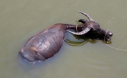
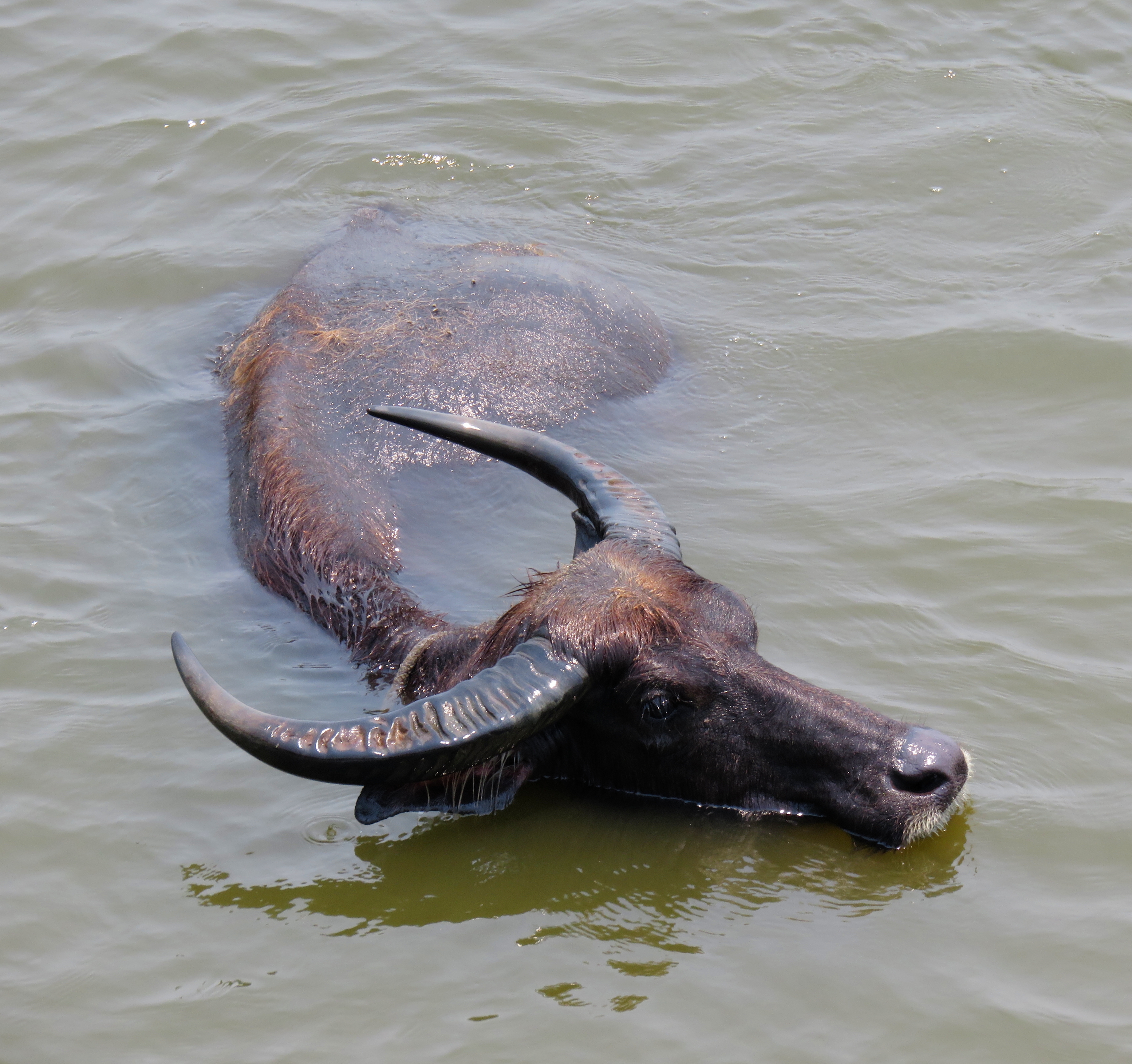
This area was really impressive to drive through, as it had some of best true swamps and estuaries of the whole drive, these located along the delta of the famous Perfume River. We came across one bridge that had a herd of buffaloes laying in the river underneath it, so of course we had to stop for photos.
|
Oh it feels so good!
|
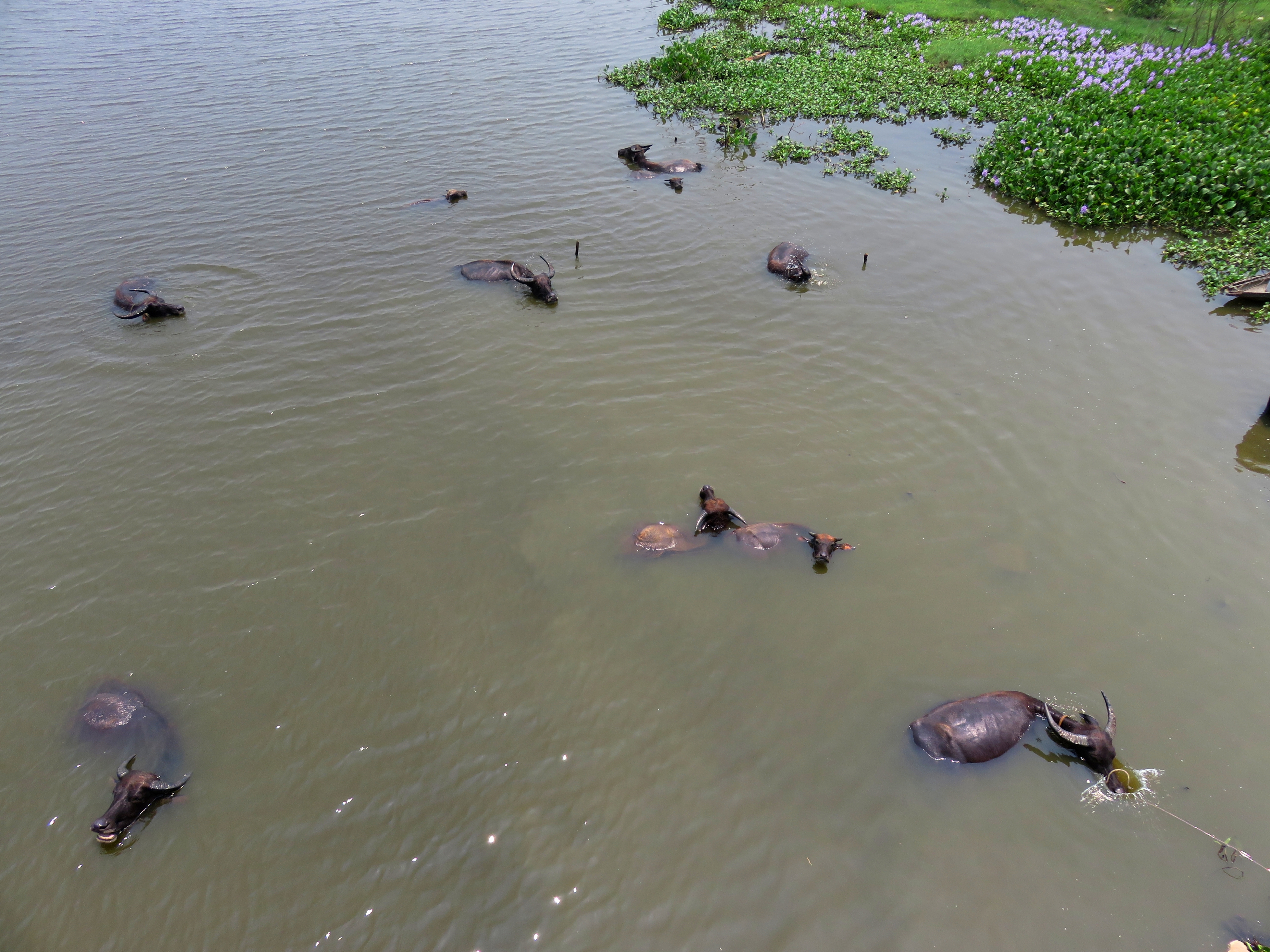
It was quite hot out, perhaps 42 or 43, so these buffalo were all pretty excited to be in the river.
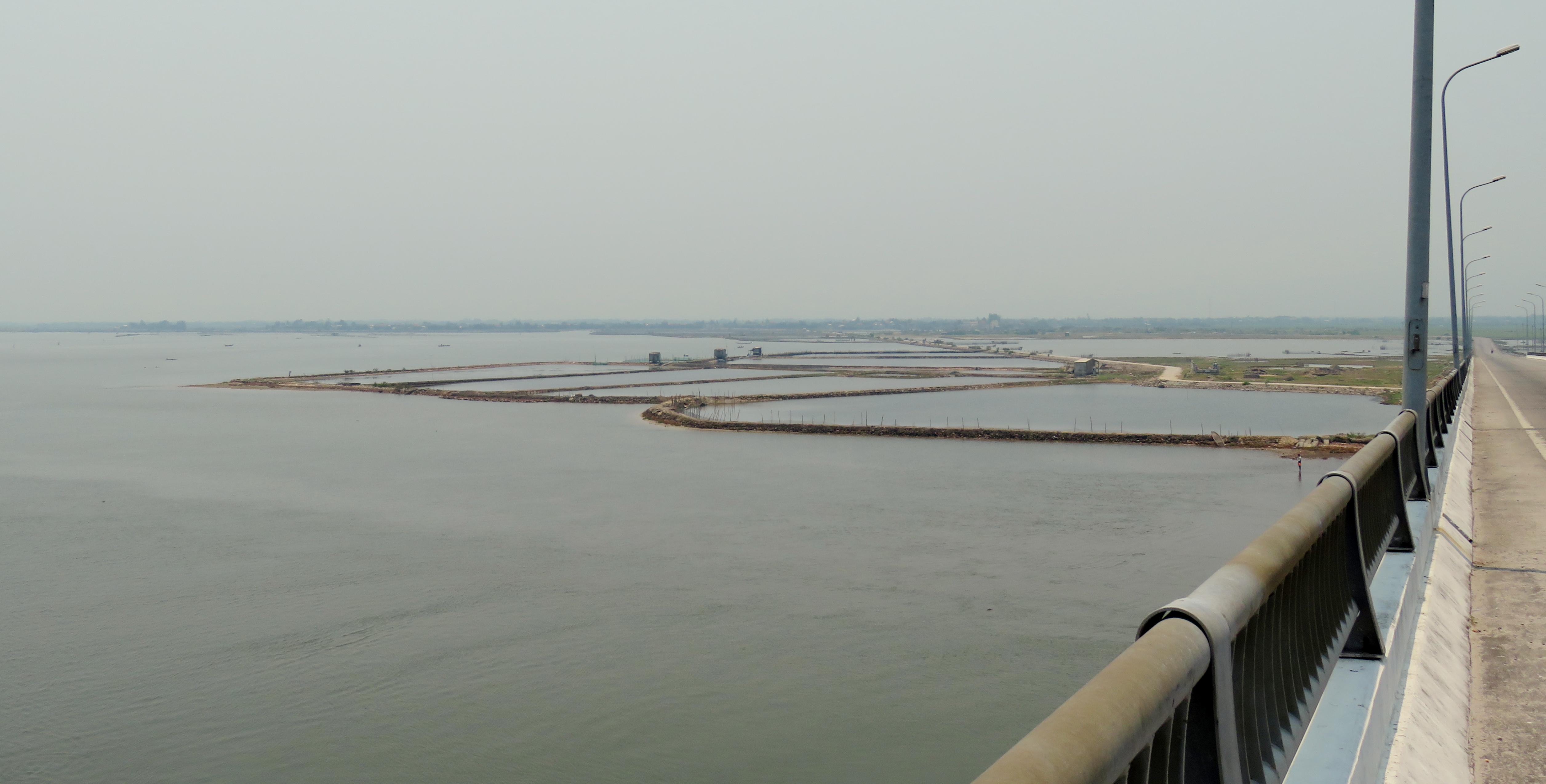
Cau Tam Giang, the final bridge over the Perfume River estuaries.
We kept on driving, crossing over bridge after bridge to get through and across the endless estuaries of the Delta. Eventually we made it over the last bridge and the familiar backbone of sand that runs the length of the spit and the island came into view. We dropped down to the other side and stopped for a photo with the scraggly beach trees in the background. We hadn't gone five kms down the road until we ran into some interesting looking ponds that looked like they might be freshwater springs.
Pausing for water before we keep going.
Look at the sandbar near Hai Duong.
|
Possible freshwater spring?
|
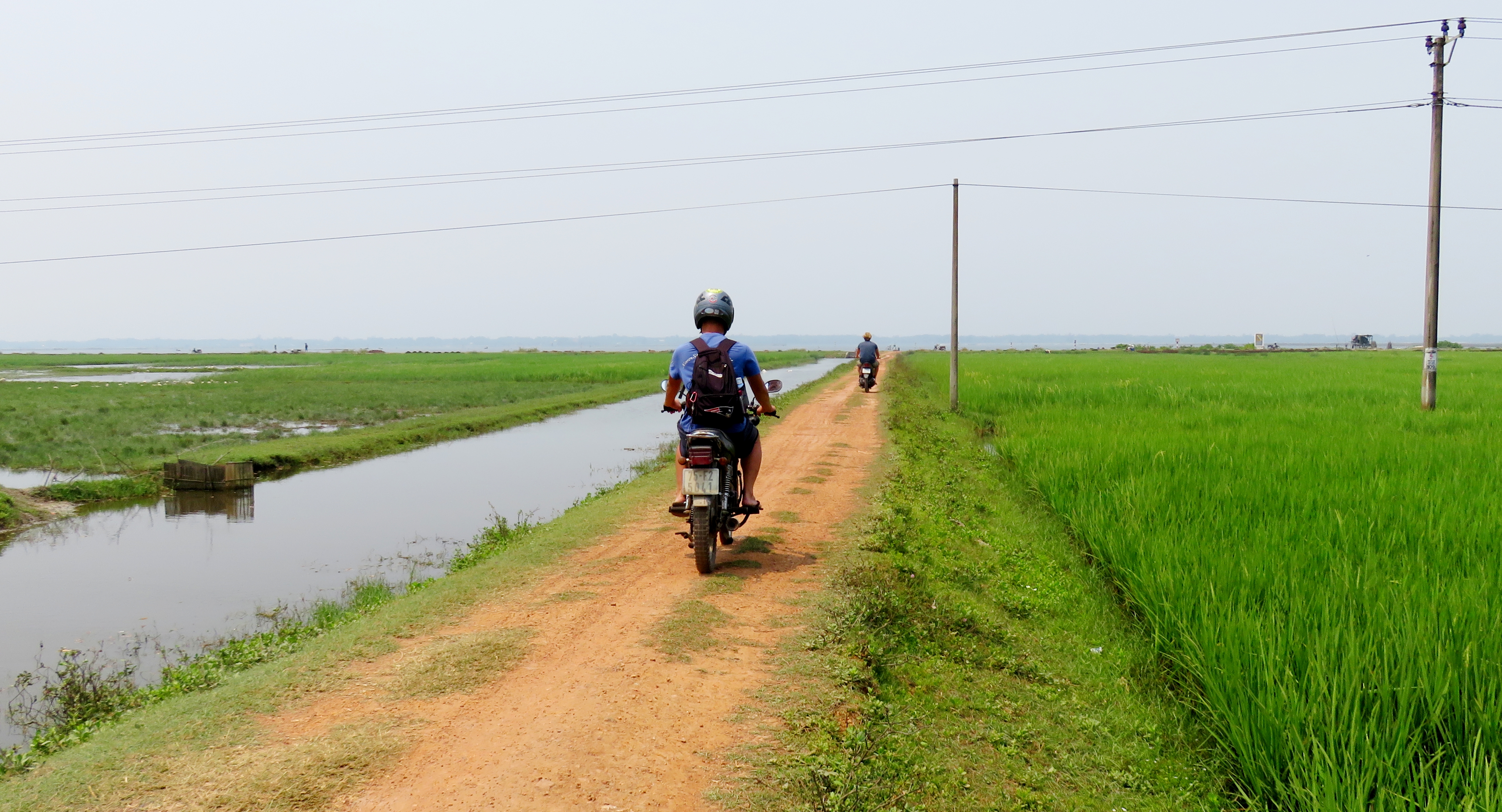
The road along the spit, or the western half of this road, is much more rural than the southern half. The towns spread out and the fields open up a lot more. The road is in really good shape so you can make good time through here, as it is mostly just an elevated, flat road through the wide open rice paddies. There are some fantastic tombs in this stretch, and although the number of Catholic tombs have dropped a bit, there are still plenty of beautiful and amazing Buddhist tombs, again, much more ornate that anything around Da Nang.
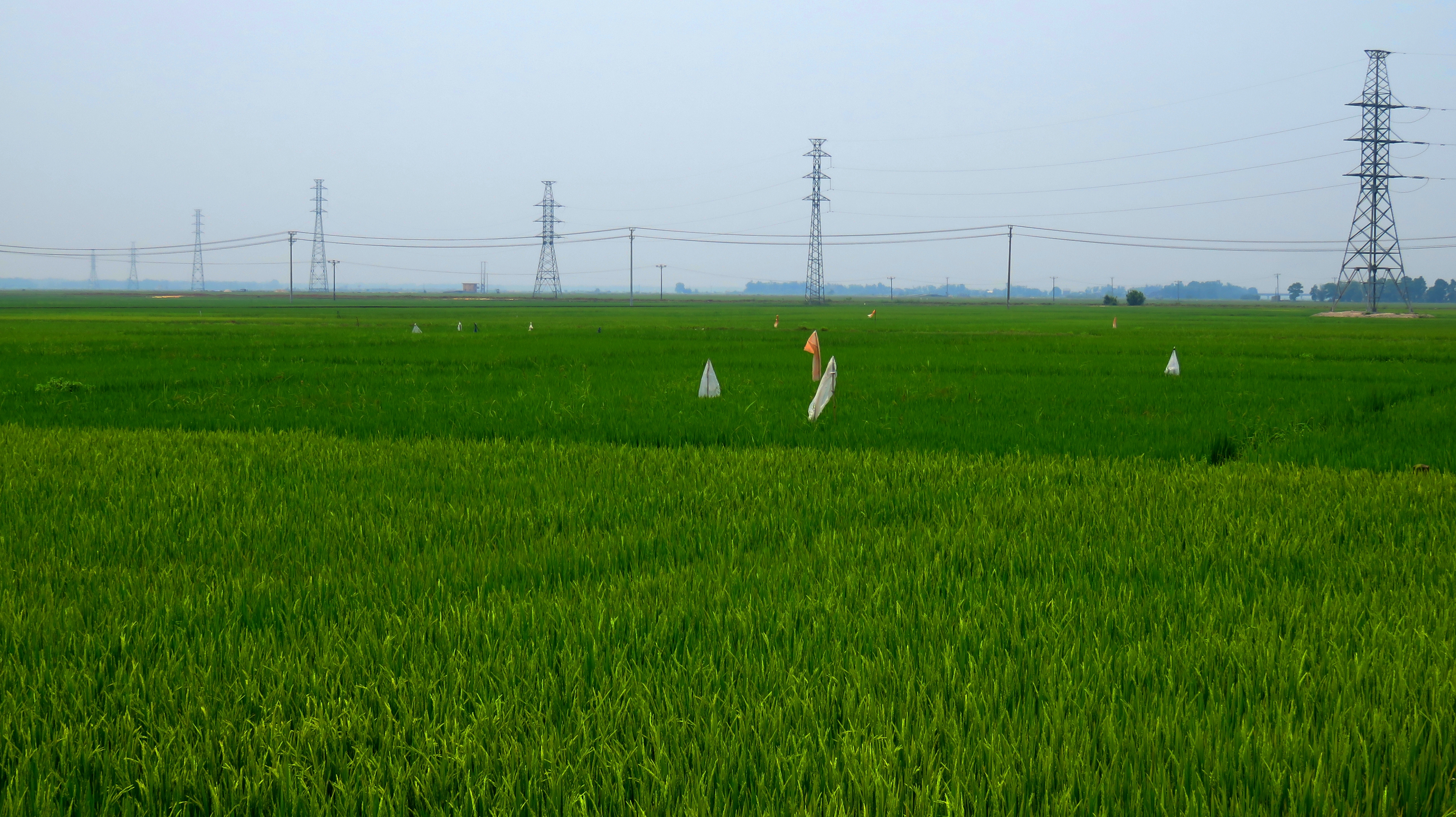
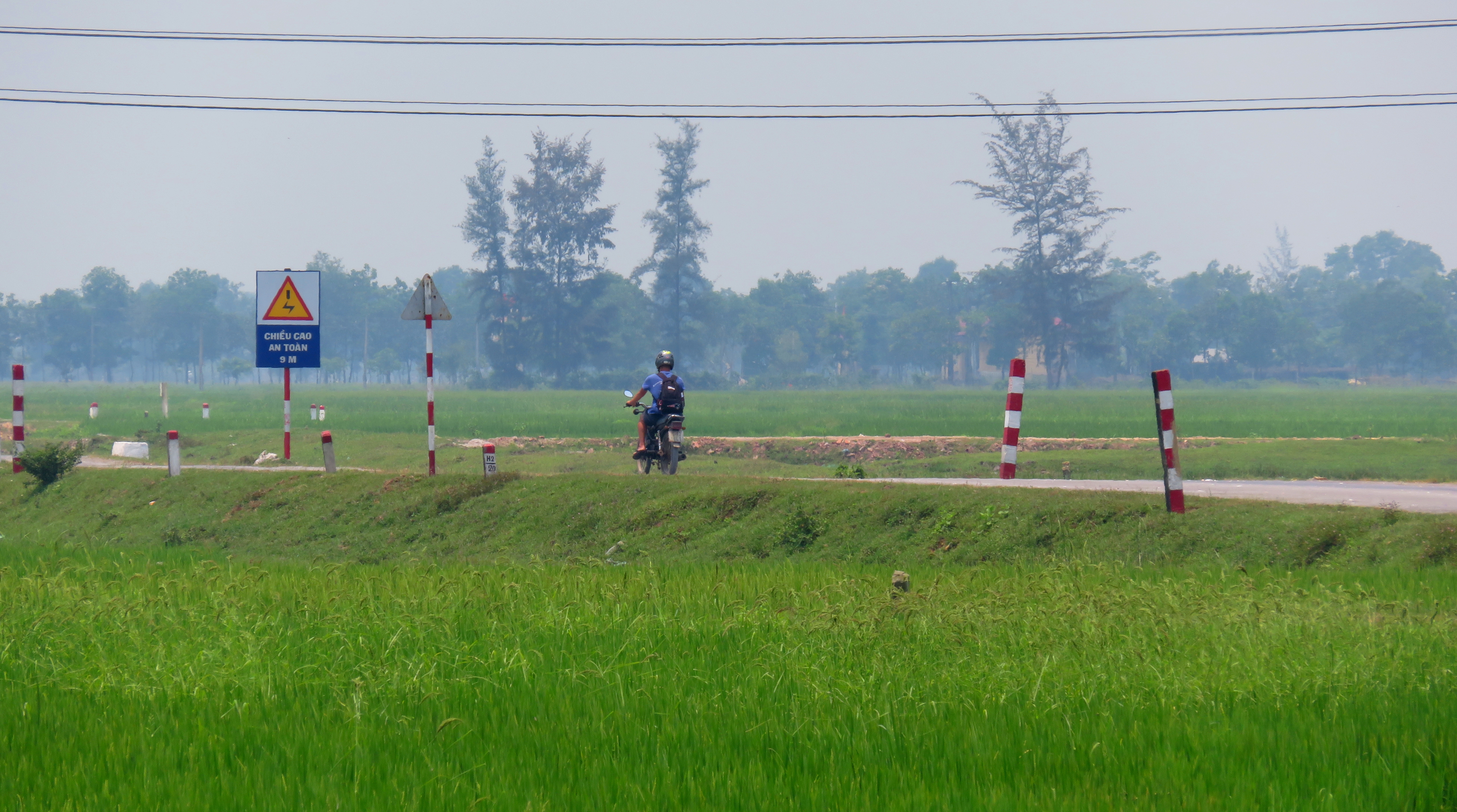
Rice fields and power lines stretch for miles into the distance.
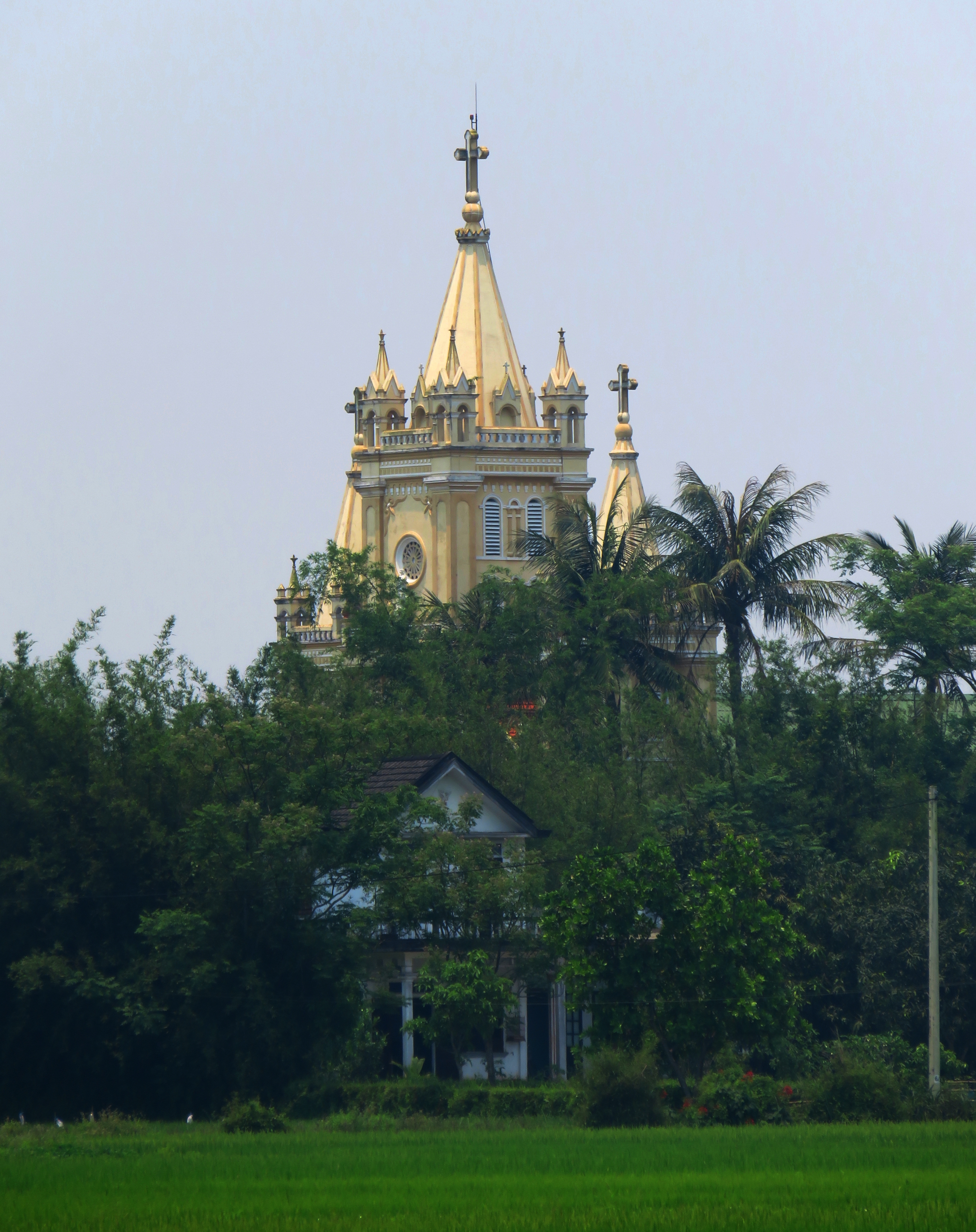
Catholic church hidden in the trees.
|
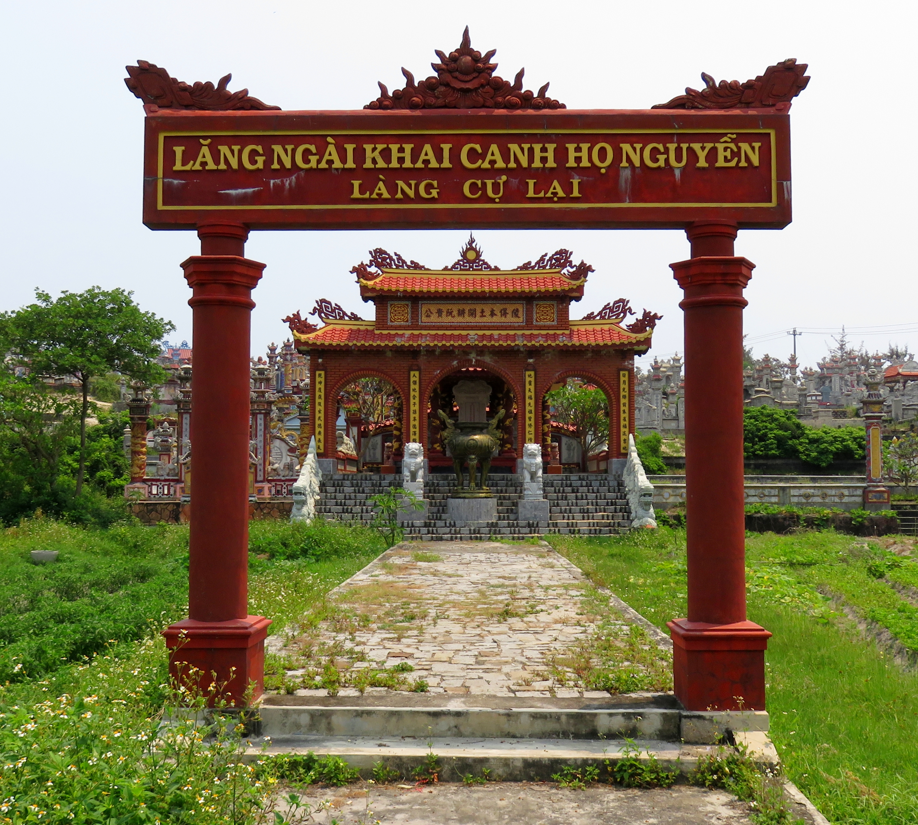
Entrance to a very elaborate tomb.
|
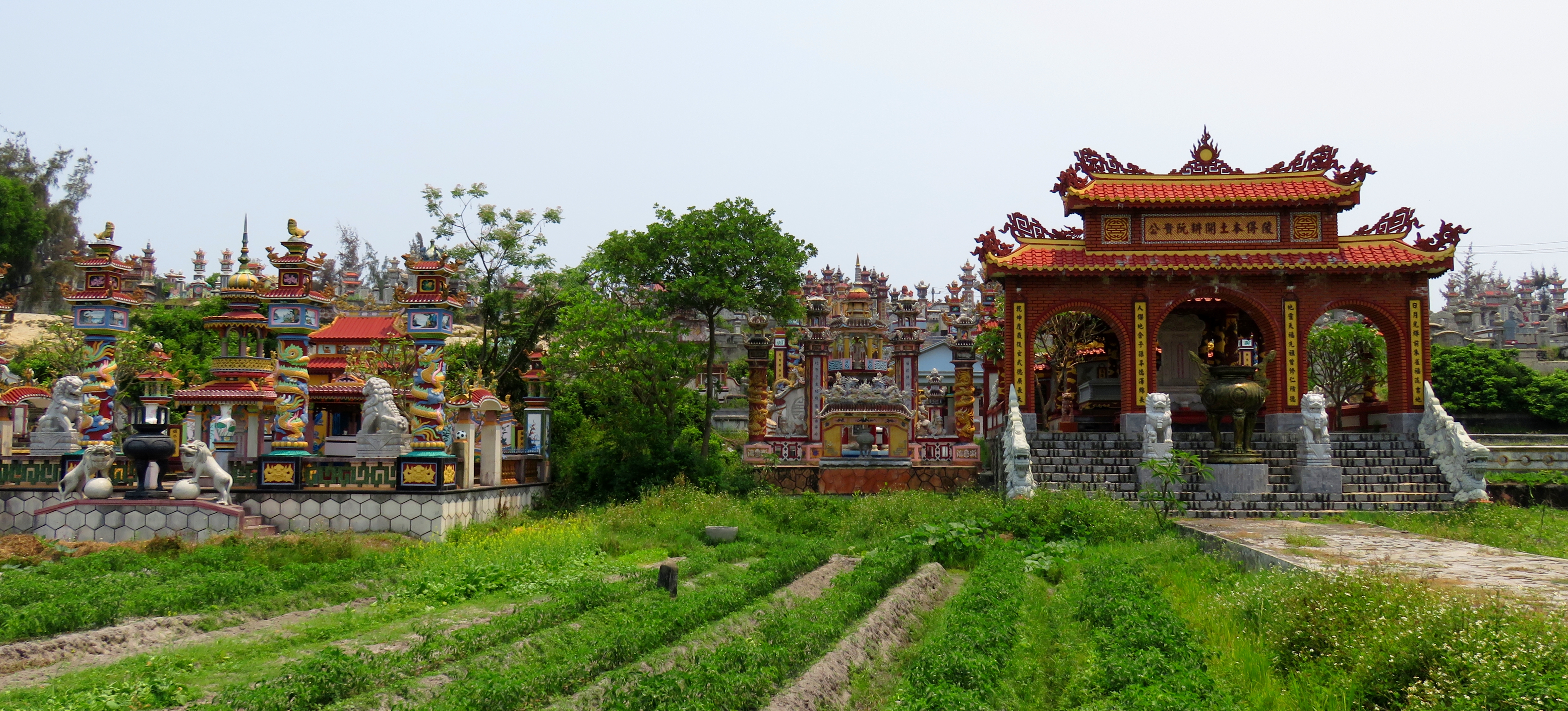
Tightly packed tombs fill the inland side of the sandbar.
It doesn't happen dramatically, so eventually you will notice you're no longer following the shores of the lagoon but instead just driving through rice fields and corn fields. A couple of small crossroads, a short jaunt along a river, and before you know it, you are driving into quiet suburban Quang Tri. This road ends as it joins QL-1A as it cuts through downtown Quang Tri, and from here you can either head north to Dong Ha (like us) or head south, back to Hue. This is a great road with a lot of possibilities. If you are headed north through Vietnam, it makes a great bypass to the QL-1 for it's length. Thanks to QL-49, you don't even have to miss Hue. You could also this as a day trip from Hue, and go to one end and drive to the other and then back. Or, you can do the southern half of this stretch from Da Nang or Hoi An as a great day trip. There are many possibilities, and numerous side roads off of this road to explore as well. Enjoy and thanks for reading!
Kong cruising across the endless rice paddies.
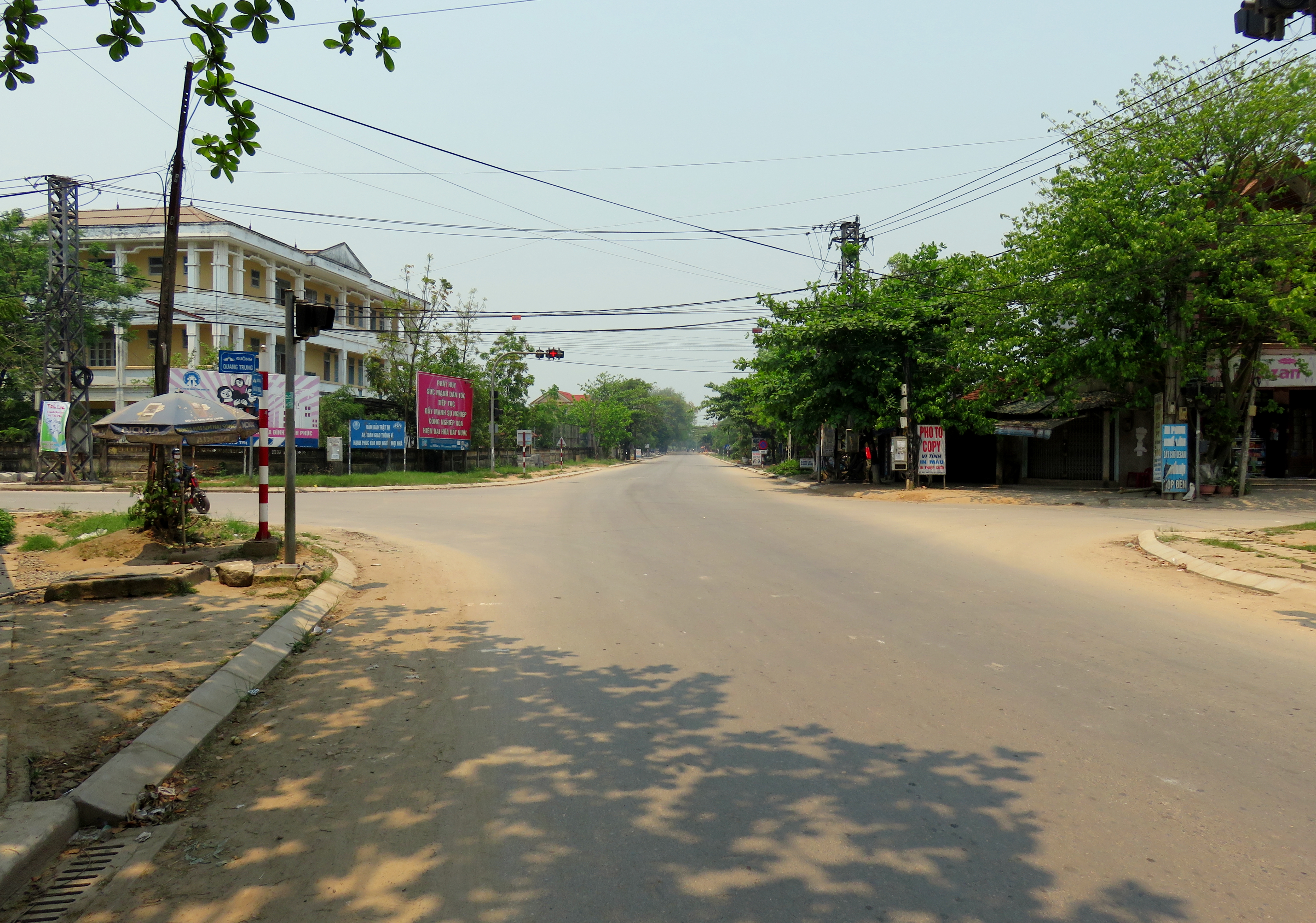
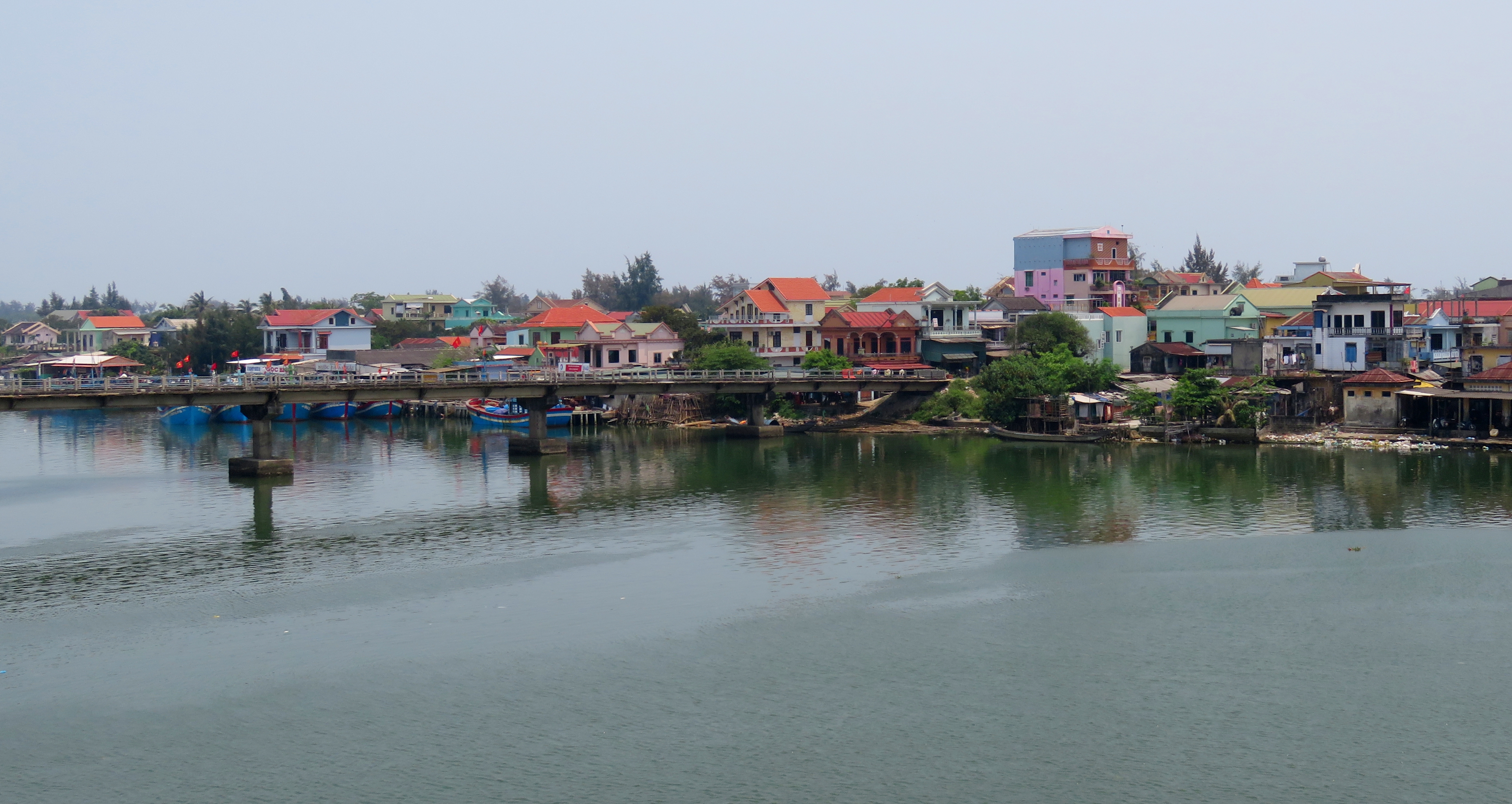
Bustling downtown Quang Tri.
The Map
All photos copyright Kit Davidson.
All maps created with and copyright Google MyMaps.
All maps created with and copyright Google MyMaps.
