The town of Green River is where it is because the crossing of the Green River here is easier than anywhere else for almost a hundred miles to the north, and a very long way to the south. It is a natural place for a crossing, and since time immemorial people have been using it. The town sits at the very bottom of Desolation and Gray Canyons, but before Labyrinth and Stillwater canyons. This means that the town sits on a geologic flat area between the lower Jurassic rock layers, which includes the Navajo, Kayenta, and Wingate Sandstones, among others, and the more recent rock layers of the upper Jurassic and Cretaceous. As a huge percentage of true "slot" canyons lie in the Glen Canyon Group- the slice that includes the Navajo, Kayenta, and Wingate- there are hundreds of canyons to the south and west of town, where the Glen Canyon Group is much more exposed. North of town lies the Book Cliffs area, an area of sandstones and mudstones that stretches from Grand Junction, CO, all the way to Price, UT, and this area is filled with plenty of high ridges, deep canyons, and steep cliffs, but very little in the way of slot canyons, as the rock types in the upper Jurassic and Cretaceous are all non-conducive to slot formation. As a result, while Green River has become our favorite home base for slot canyon missions, we have neglected to explore close to town itself on our trips there.
That all changed in April of 2013, when I did some Google Earth and ArcGIS hunting around Green River. It started out as idle exploring, just looking around. But I got to thinking about the fact that the mission we had pulled off a couple weeks earlier- a possible first descent near Grand Junction of Big Wash & it's primary tributary- had revealed an honest to goodness slot canyon in the Dakota Formation, one of the big slabby layers of the Cretaceous. While it wasn't narrow or "glam", it was still there, and the fact that it existed prompted me to wonder if there was any hiding in the hills around Green River, hills that were made of the same rock layers as those that Big Wash cut through.
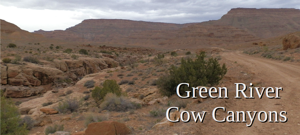
This spurred me on to do a pretty extensive virtual canvasing of the area, and in the end I was able to find several small narrows sections, right where I thought they would be. None of them were deeper than about 30 or 40 feet, and none were of any length. But, they are there, and they provide a fun distraction if you have two or three hours to kill in the greater Green River area. Most of the ones we saw were being utilized in one way or another as cow traps- the ranchers had put in fences across parts of the canyons, and the natural boxed in shape creates a perfect area for withholding the cows. As a result, we called the area the Green River Cow Canyons, and tried to give them all some fun cow-related names.
This spurred me on to do a pretty extensive virtual canvasing of the area, and in the end I was able to find several small narrows sections, right where I thought they would be. None of them were deeper than about 30 or 40 feet, and none were of any length. But, they are there, and they provide a fun distraction if you have two or three hours to kill in the greater Green River area. Most of the ones we saw were being utilized in one way or another as cow traps- the ranchers had put in fences across parts of the canyons, and the natural boxed in shape creates a perfect area for withholding the cows. As a result, we called the area the Green River Cow Canyons, and tried to give them all some fun cow-related names.
CowWow Canyon
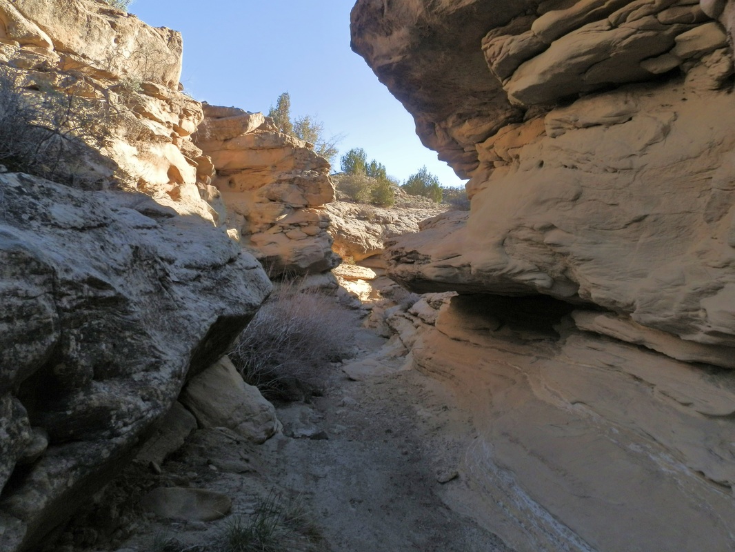
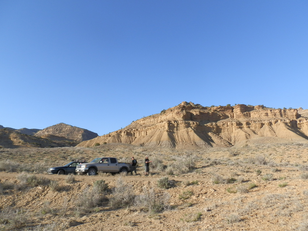
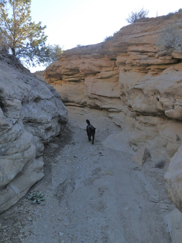
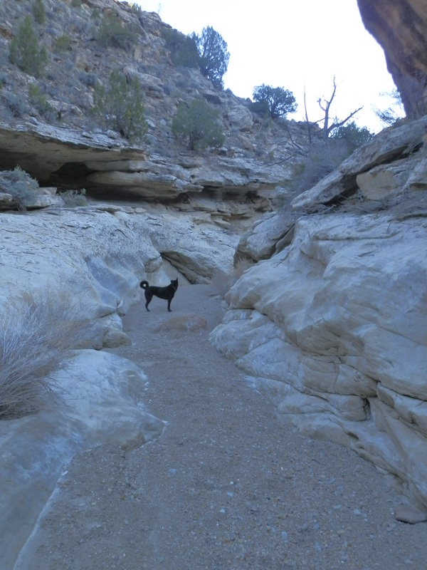
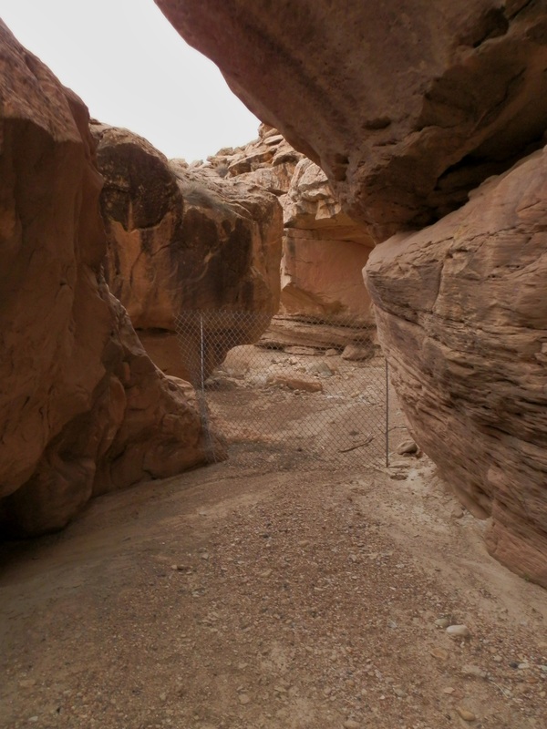
The first one we found was also the best of those that we have discovered so far. It is located in a tributary of Floy Wash, which is a handful of miles east of town, called Blaze Canyon. Two forks come together about a half a mile below a road that crosses them both, so a loop hike down one and up and out the other is easy to do. The better of the two is the Right Hand of Blaze Canyon, where a couple of very short narrows occur in an entrenched section of slick rock canyon. There is a couple of several small downclimbs in here that are pretty fun.
The canyon drops about 3/4 of a mile before it intersects the Left Fork of Blaze Canyon, which is much more uninteresting and only holds one tiny, short, and unimpressive narrows. These canyons had a good amount of cow pies scattered around and through them, leading us to call the good one CowWow. We parked at the head of it, and hiked down and past the confluence, turned around and came back up the Right Fork, and were back at the trucks in about 90 minutes, and that was stopping for pictures and fun and not trying to hurry as well.
The canyon drops about 3/4 of a mile before it intersects the Left Fork of Blaze Canyon, which is much more uninteresting and only holds one tiny, short, and unimpressive narrows. These canyons had a good amount of cow pies scattered around and through them, leading us to call the good one CowWow. We parked at the head of it, and hiked down and past the confluence, turned around and came back up the Right Fork, and were back at the trucks in about 90 minutes, and that was stopping for pictures and fun and not trying to hurry as well.
|
|
Strikeout Wash
|
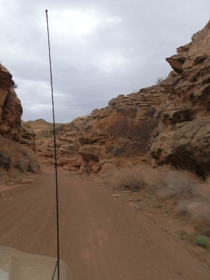
The next one on our list was one I had high hopes for- there was a dropoff clearly visible from both Google Earth and ArcGIS, and it looked like while short, it would still be quite fun, and possibly something we could end up doing multiple laps on. There was also a couple of (what looked like) short and shallow sections in other forks nearby, so we figured it was worth it to go have a look.
These canyons were all forks of Tusher Wash, which comes out of the foothills in the very end of Gray Canyon, and joins the Green River just before town. To get there we had to drive north out of town, along the Green River, and then follow some fenceline roads to get up to the system of canyons a few miles upstream. We didn't have a super close map with us, and unfortunately, we weren't sure exactly where we needed to be. So, when we came across a canyon that looked promising, we suited up and dropped in. Unfortunately, we walked for about 15 minutes, and no drop off appeared, and before we knew it we were walking on the road again- the road we had just come up on. We were standing around looking confused and not sure what happened. Well, come to find out later, the canyon we were hunting for was the next drainage north. D'oh! With little daylight remaining we were unable to get after it so we bailed and hiked up another small canyon nearby instead. |
.
|
CowPalooza Canyon
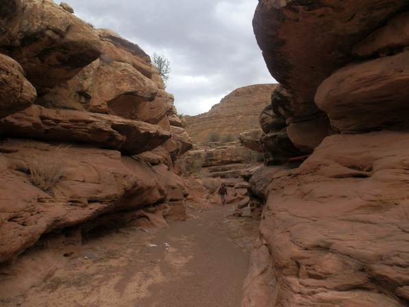
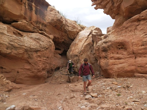
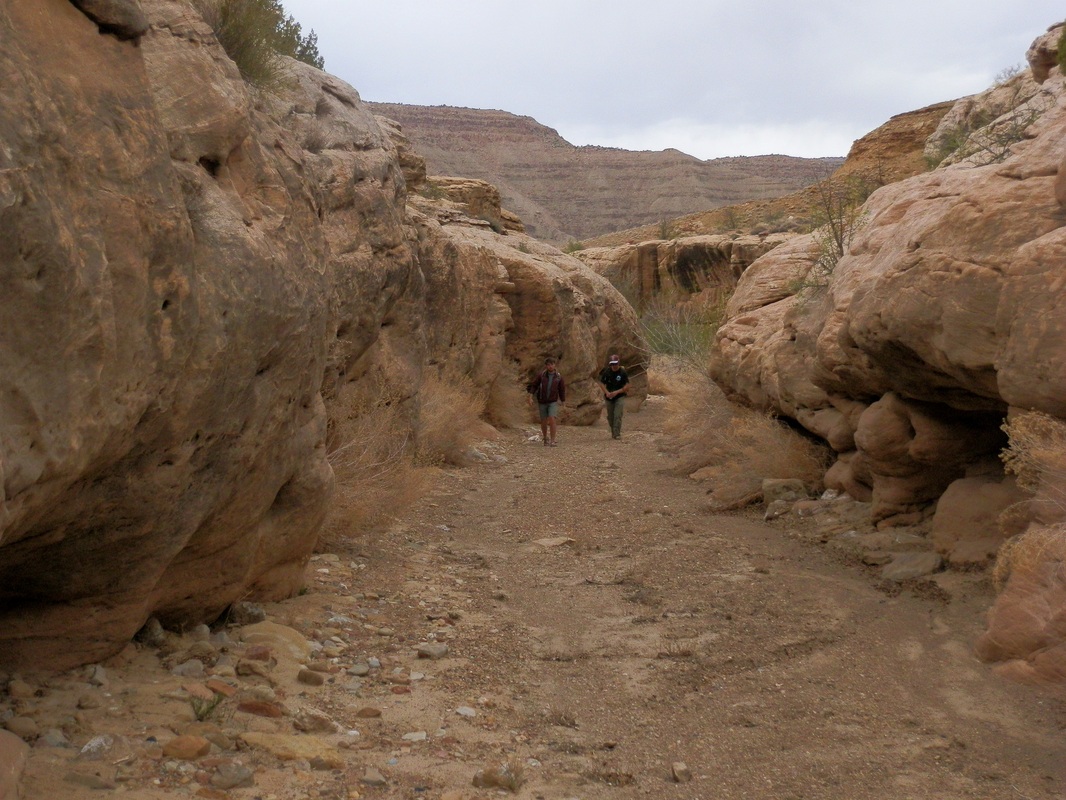
The last one we explored was actually the main stem of Tusher Wash itself. This is the same wash we drove up to gain access to the benches above these canyons, but near the end of this wash, the road goes up a cut onto the benches above, and the canyon forks off and keeps doing it's thing. That stretch is a small narrows, never that skinny or deep, but still possessing two vertical walls of sandstone. Much like the others, this one was covered in cow pies so we elected to call this one CowPalooza. To hike up this from the bottom and back to our truck took about 90 minutes.
|

|
All photos copyright Kit Davidson unless otherwise noted.
