Day 1 - Da Nang/Hoi An to Kham Duc
The Dak Mi Loop is a great two or three day loop that visits some areas to the south and southwest of Da Nang. With mostly great roads the whole way, plenty of things to see, and lots of side roads of interest to explore, it makes a great trip for those looking for a nice intermediate multi-day loop drive out of the Da Nang or Hoi An area. We did this trip in September 2016, and although we took two days, you could easily stretch this out to three if you wanted more time. The following is a bit of a travel journal as well as a guide to this fun trip!
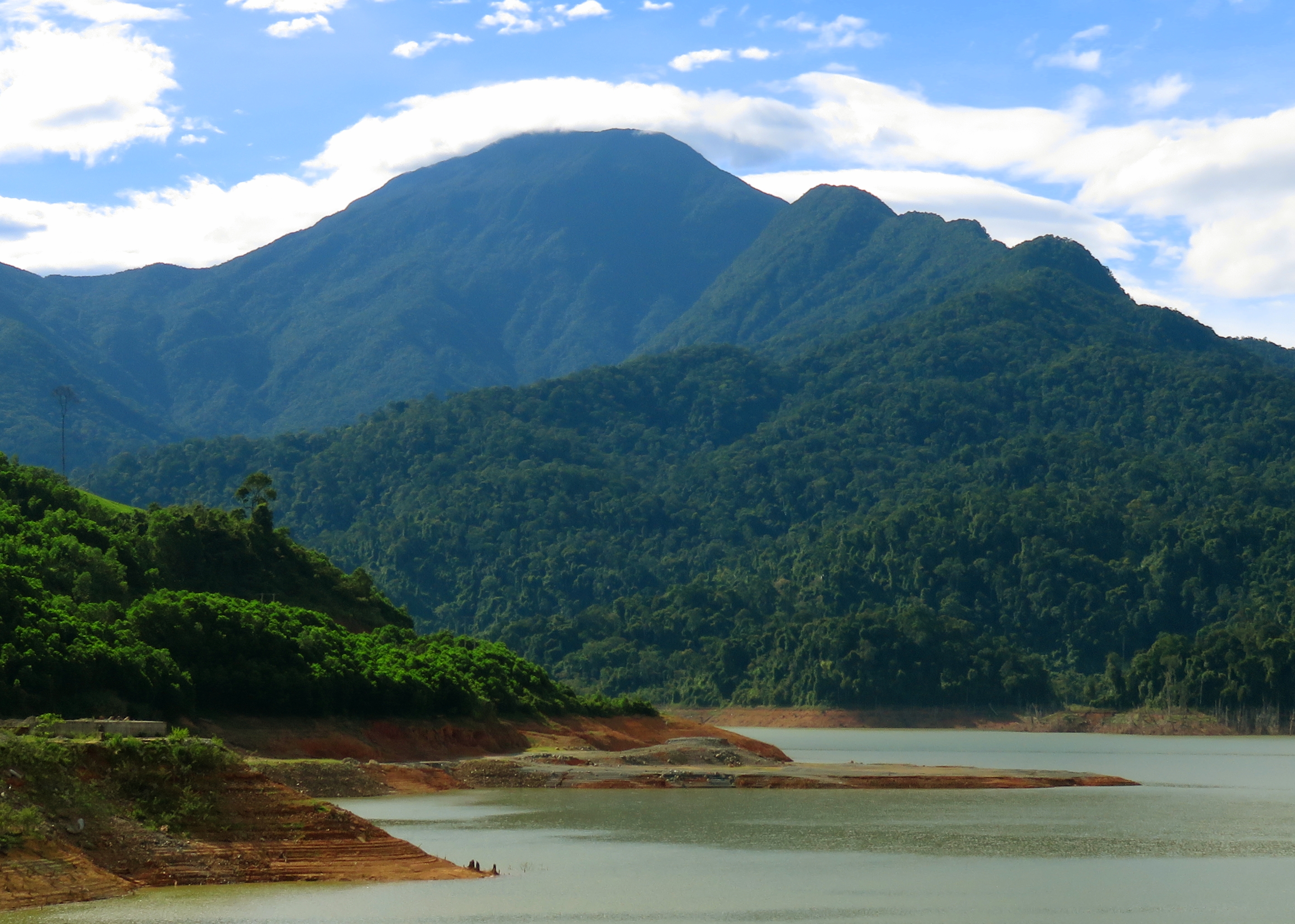
Dak Mi 4 Reservoir, and Nui Xuan Mai behind.
Getting There
First, to get here. If you are coming from Da Nang, the quickest way is to get yourself to the street that Metro / MegaMart is on, which is called Cach Mang Thang 8 (or known here as CMT-8). You can get here by taking Ngo Quyen south and crossing over the Tien Son Bridge [the Lotte Mart bridge] and then turning left at the first intersection, or by following Tran Phu south, which turns into September 2nd, which itself then runs right into AH-17 at the same roundabout. Or, from the city center, take Nguyen Tri Phuong south from the airport, which soon turns into Nguyen Huu Tho. This will eventually intersect CMT-8 at a very large intersection with traffic lights. Turn right and you are on the AH-17. Whatever way you approach, once you are on the AH-17, keep going southwest towards the mountains.
If you are coming from Hoi An, you've got a couple of options. The first is to take the Beach Road or the Old Hoi An Road north to Da Nang and then follow the instructions. But this is silly and adds lots of extra driving. You could also go west on Hung Vuong Street out of town, catch QL-1A and head north, but again, you are driving so much north only to lose it again. So here is your best option: follow Hung Vuong out of town, until it becomes DT-608. Follow this PAST the highway (don't get on it), around a couple of bends and over a river, and then turn left onto DT-609. This is a fun road because you get to drive through plenty of small Vietnamese towns and see real Vietnam, not the touristy, cookie-cutter Vietnam you see in Hoi An or Da Nang. Follow this road for about 15 kms, and then hang a right in downtown Ai Nghia. Just a handful of kilometers north on this road is the AH-17, which you'll need to turn left onto.
If you are coming from Hoi An, you've got a couple of options. The first is to take the Beach Road or the Old Hoi An Road north to Da Nang and then follow the instructions. But this is silly and adds lots of extra driving. You could also go west on Hung Vuong Street out of town, catch QL-1A and head north, but again, you are driving so much north only to lose it again. So here is your best option: follow Hung Vuong out of town, until it becomes DT-608. Follow this PAST the highway (don't get on it), around a couple of bends and over a river, and then turn left onto DT-609. This is a fun road because you get to drive through plenty of small Vietnamese towns and see real Vietnam, not the touristy, cookie-cutter Vietnam you see in Hoi An or Da Nang. Follow this road for about 15 kms, and then hang a right in downtown Ai Nghia. Just a handful of kilometers north on this road is the AH-17, which you'll need to turn left onto.
The Main Event
Once you have picked up the AH-17, get comfortable because you'll be on this road for the rest of the day. If you come out of Da Nang, quickly out of the city you'll first pass Tuy Loan Village, which is one of the 7 Original Villages from before the city's existence. Highway 14-G, the Road to Prao, takes off on the right just past the Hoa Vang District offices. Just a few short kilometers past this is Hoa Khuong, where another road takes off to the right, this one leading to Ho Dong Nghe, a lake in the mountains to the west, as well as Phuoc Nhon Springs, a developed resort around a warm spring near the lake. A few more kilometers brings you to the T-junction in Dai Hiep. Turning left will take you to Ai Nghia, and this is where those coming from Hoi An will join up.
Nui Bang Am.
From Dai Hiep, keep going southwest on the AH-17. This newer highway is for the most part in pretty good shape, and apart from an occasional heavy vehicle (truck or bus) is fairly light of traffic. Running along the base of the mountains to the right, several interesting sites are passed along the way that you can access from this road, including Dai Hiep Reservoir, Suoi Mo, and a couple other neat things. Unfortunately, there is also an industrial park stretched out along this road, and one factory in particular near Suoi Mo is notorious for filling an area about a kilometer around it with a nasty, burning tires + sulfur smell. However, these are soon gone and before long the town of Ha Nha comes up. Here there is a bridge of the same name over the Vu Gia River. There is also a road that takes off here that goes up the valley of the Song Kon to the west, and various destinations such as the Ma Cooih Road and Lower Gorge of the Song Vang can be found off this road.
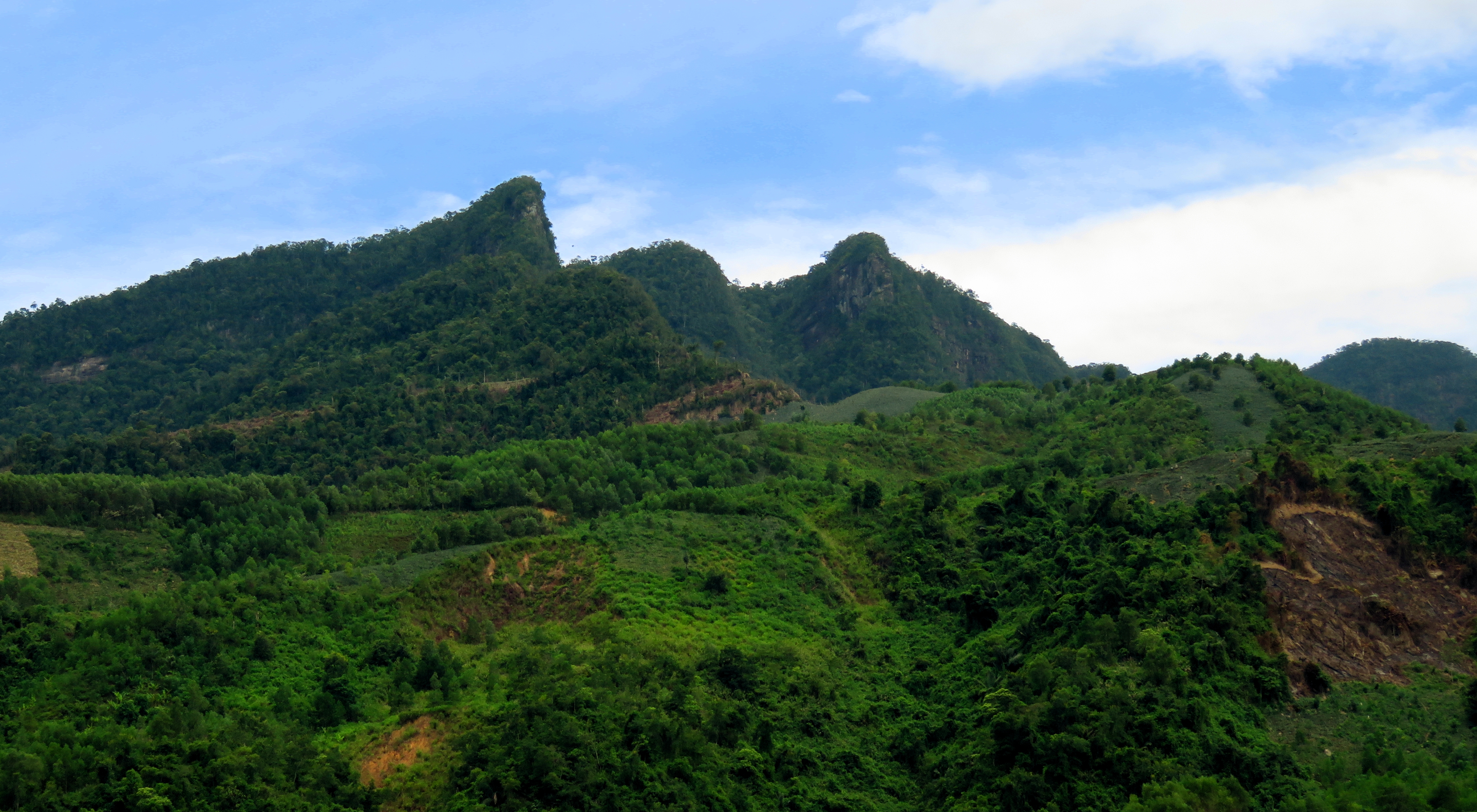
Peaks of the southern Bang Am Mountains.
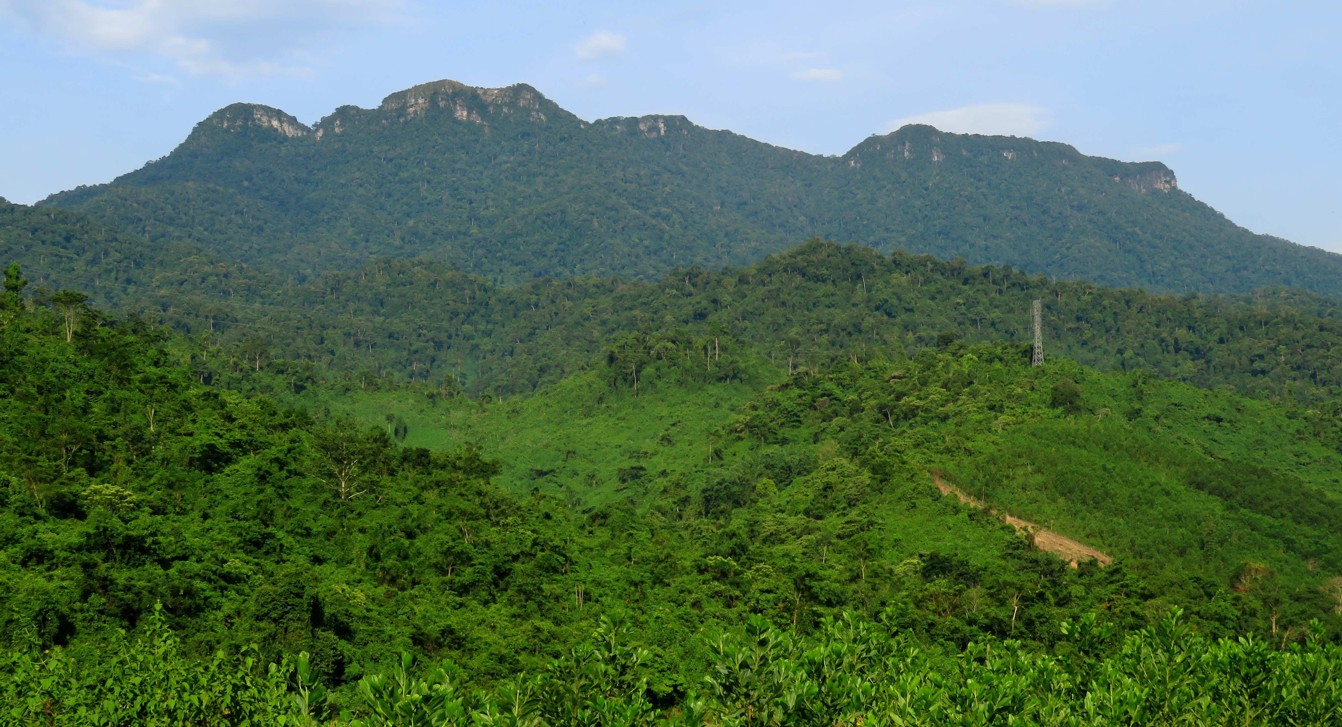
The next stretch is really pretty, as you cross under the shadow of the Bang Am Mountains. This interesting range runs mostly north-south and is quite tall, and features two main components: a large, generally flat plateau on the north, deeply incised by several impressive canyons, and some large, pointy mountains that make up the southern half. At first, the road drives past the bottom of the deep canyons spilling off the plateau. A short ways up one of these is a huge waterfall known as Khe Lim. There is a trail, but it's a bit of a trek up the stream just to get a far away view of the falls. If you want to see this falls, exit the highway in Ha Nha and follow DT-609 for several kilometers until a great shot of it comes into view. In addition, there are two smaller canyons, Khe Hung and Khe Do, that both lack one huge falls but make for up with having countless smaller drops stacked on top of each other.
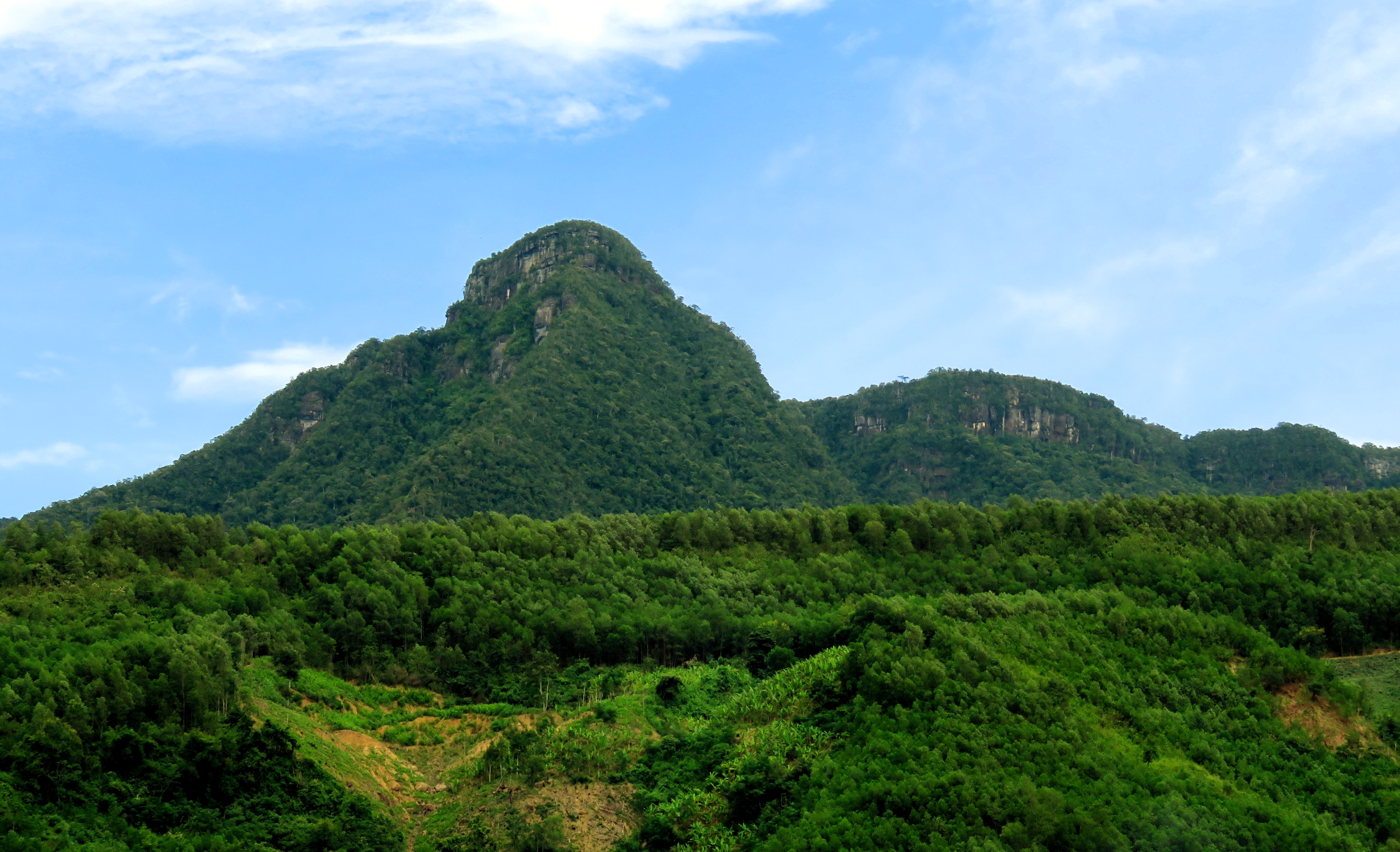
Another peak of the Nui Bang Am.
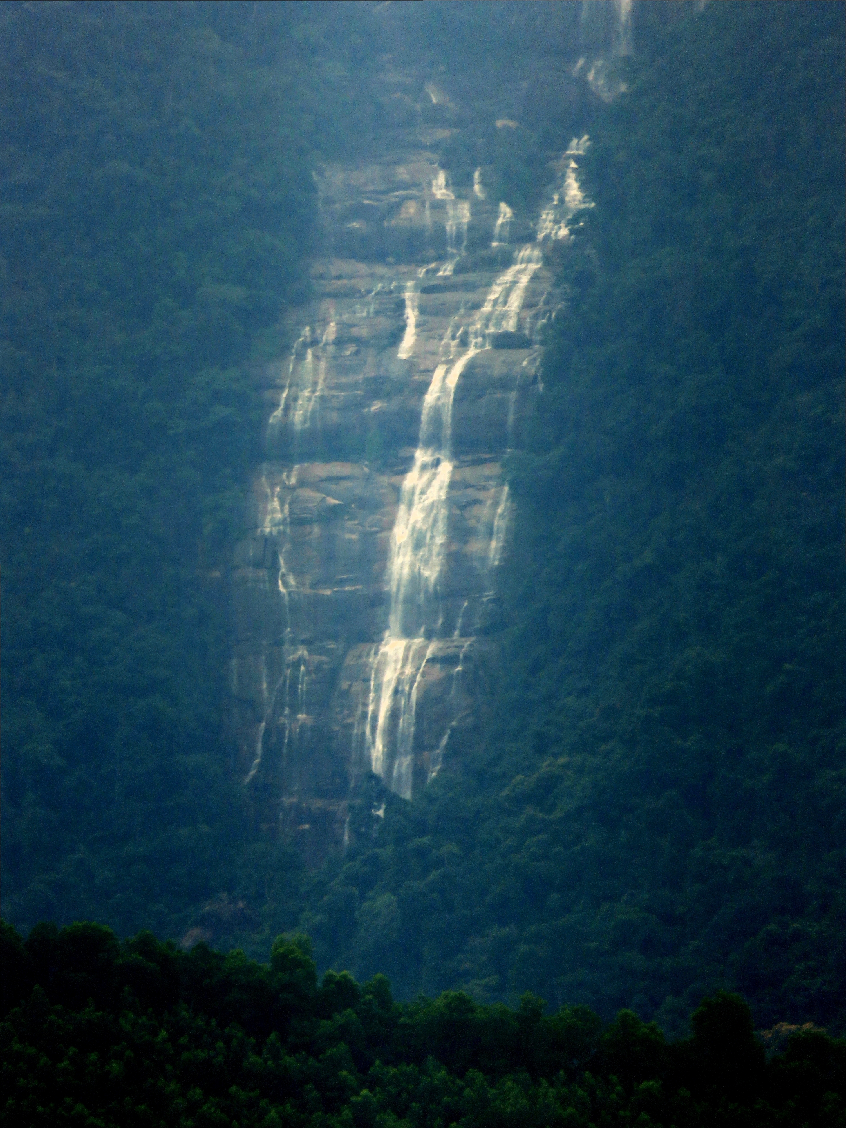
Thac Khe Lim, as seen from Dai Lanh.
|
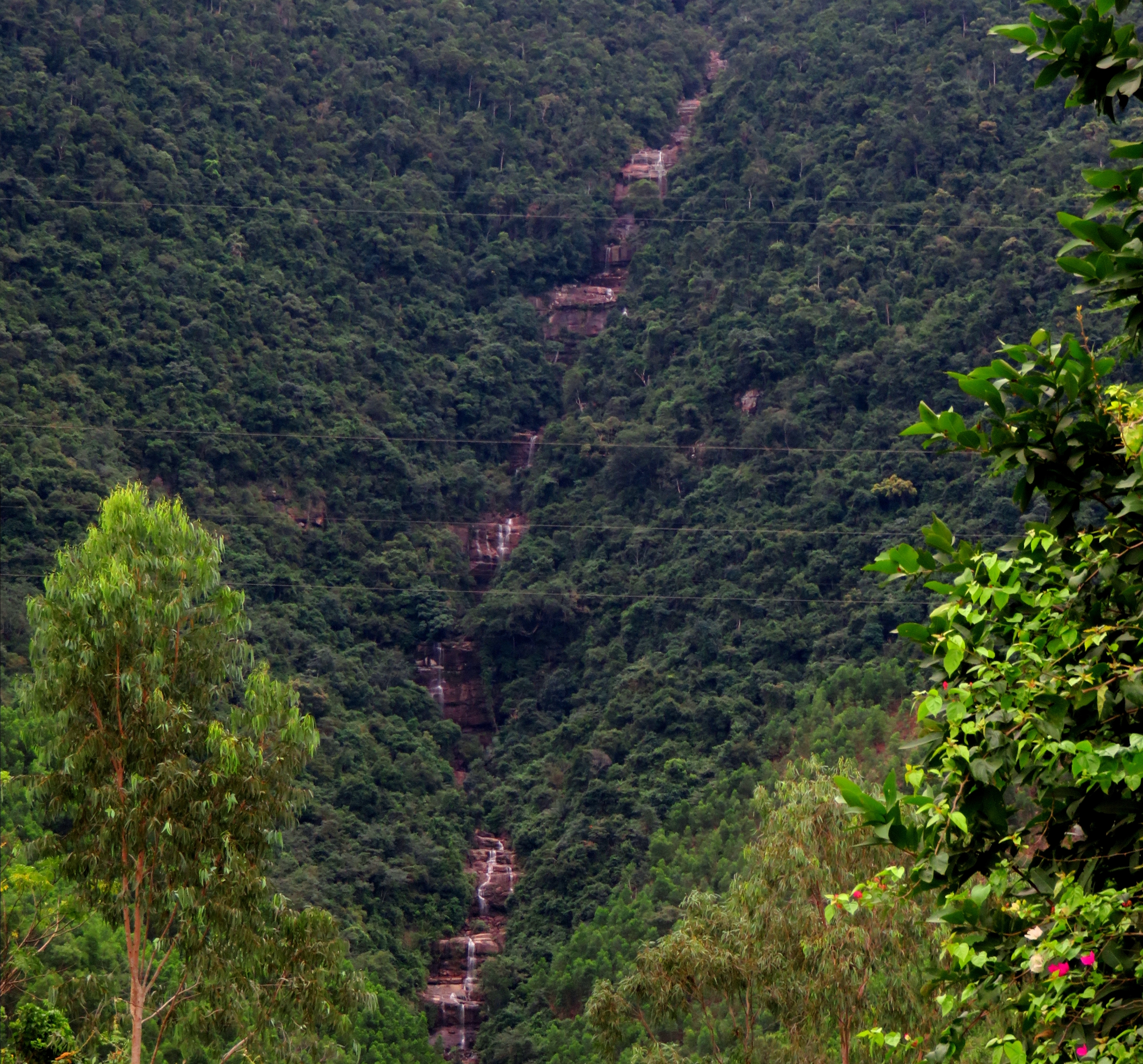
Khe Hung and it's waterfalls.
|
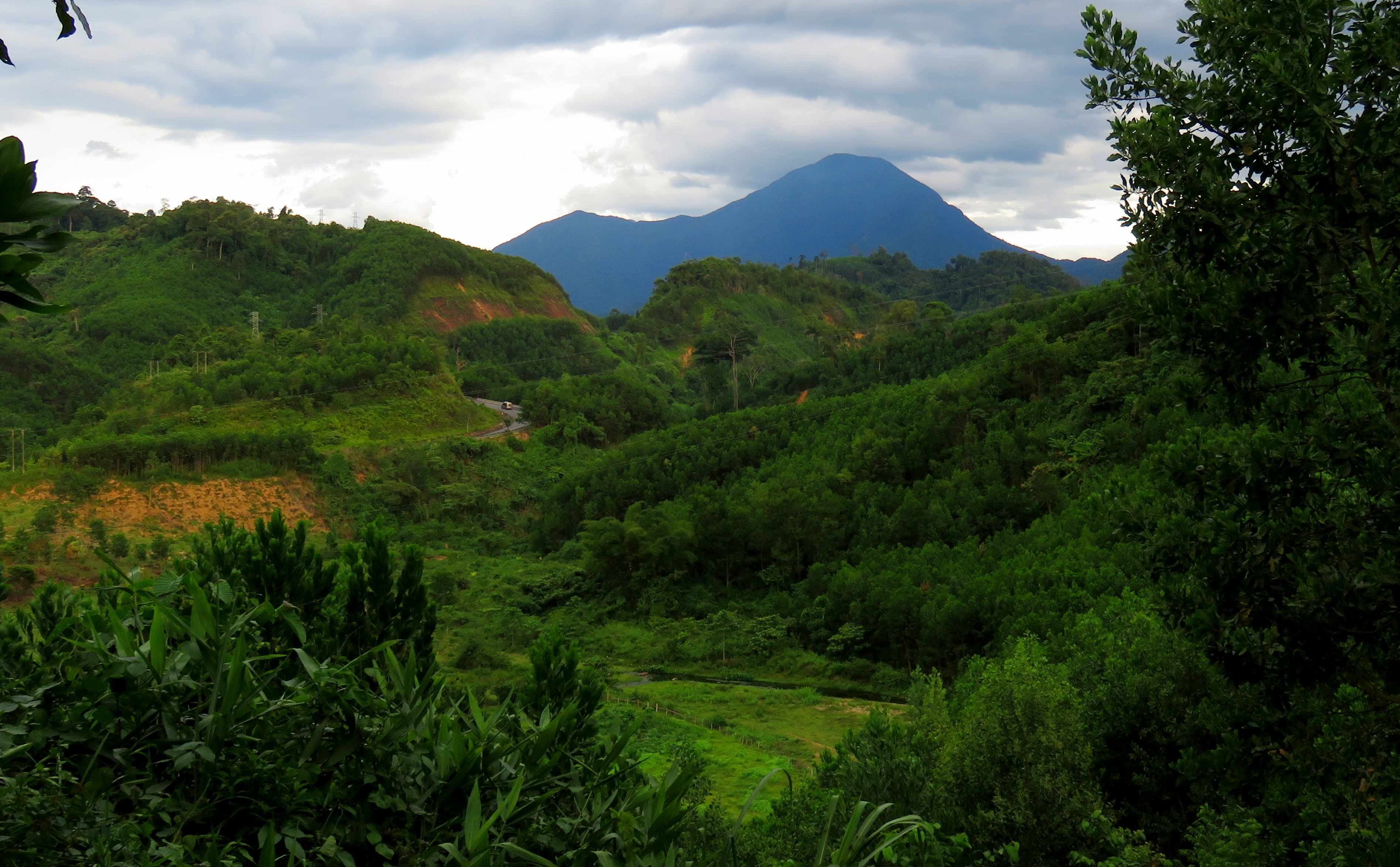
After a short spell, the road crosses a brief flat area before starting a long climb up the mountains. Winding around, and in and out of numerous small hills, be sure to look back every once in a while and enjoy the ever-changing view of the Bang Am Mountains rising to the east. There are three or four good, distinct summits in the set, with some impressive cliffs visible below them amongst the jungle. Closer at hand, the road drives past numerous pineapple fields scattered throughout the forest. Just before the summit of the pass you've been climbing, there is a large turn with a huge billboard; this road goes off to a petrochemical and aggregate plant hidden in the hills nearby. It's starkly visible from Google Maps. Just past this, the road summits the pass, and then quickly drops down the other side into the town of Thanh My.
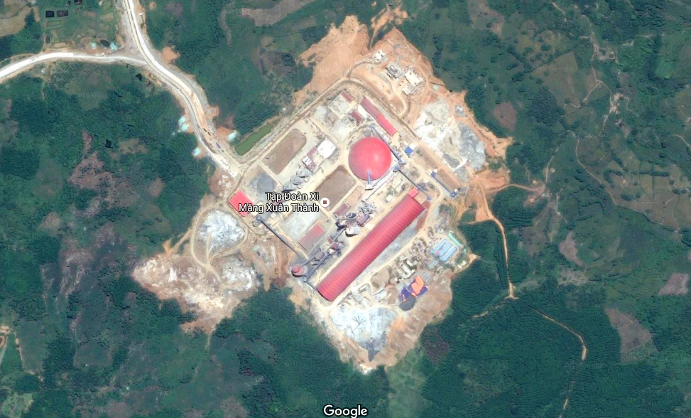
ThaiGroup PetroChem & Aggregate Facility. Aerial photography copyright Google.
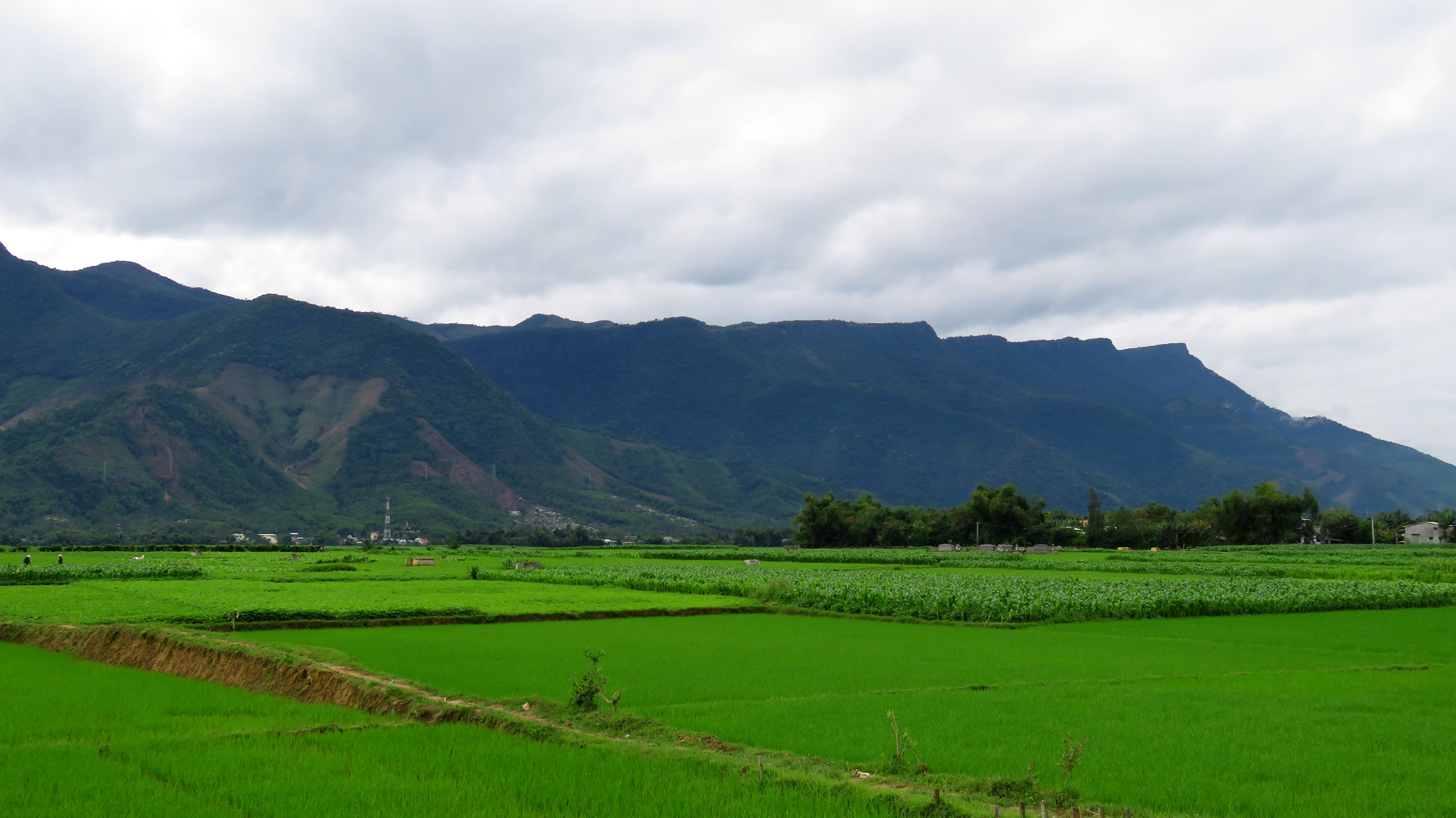
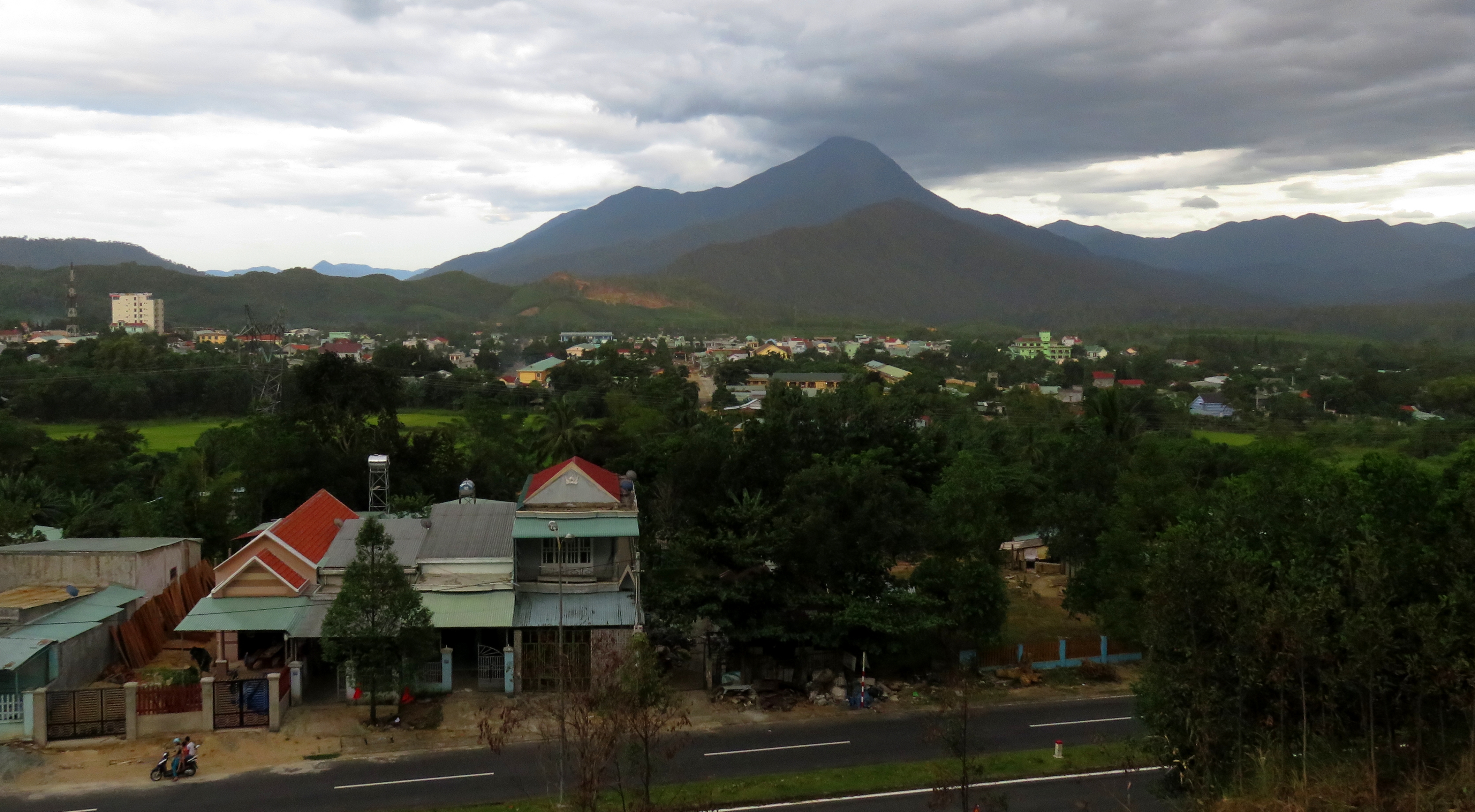
Thanh My is the district center for Nam Giang, and has a high number of Co Tu ethnic people living both in town and in the villages outside of town. In many Co Tu areas of modern Vietnam, many of the shops, restaurants, hotels, and other businesses are often run by the majority Kinh Vietnamese, while the Co Tu work the fields in the mountains around. There are plenty of quick roadside restaurants, coffeshops and nha nghis here, as well as a couple of gas stations. It makes a great place to stop for a bit and restock the essentials. Between Thanh My and Ben Giang, there is town stretched out along the road for quite a while. However, after a while there is a large intersection of both highways and rivers, which marks a big change in the landscape.
The Valley of Thanh My.
|
Confluence of Cai (L) and Thanh (R) Rivers, Ben Giang.
|
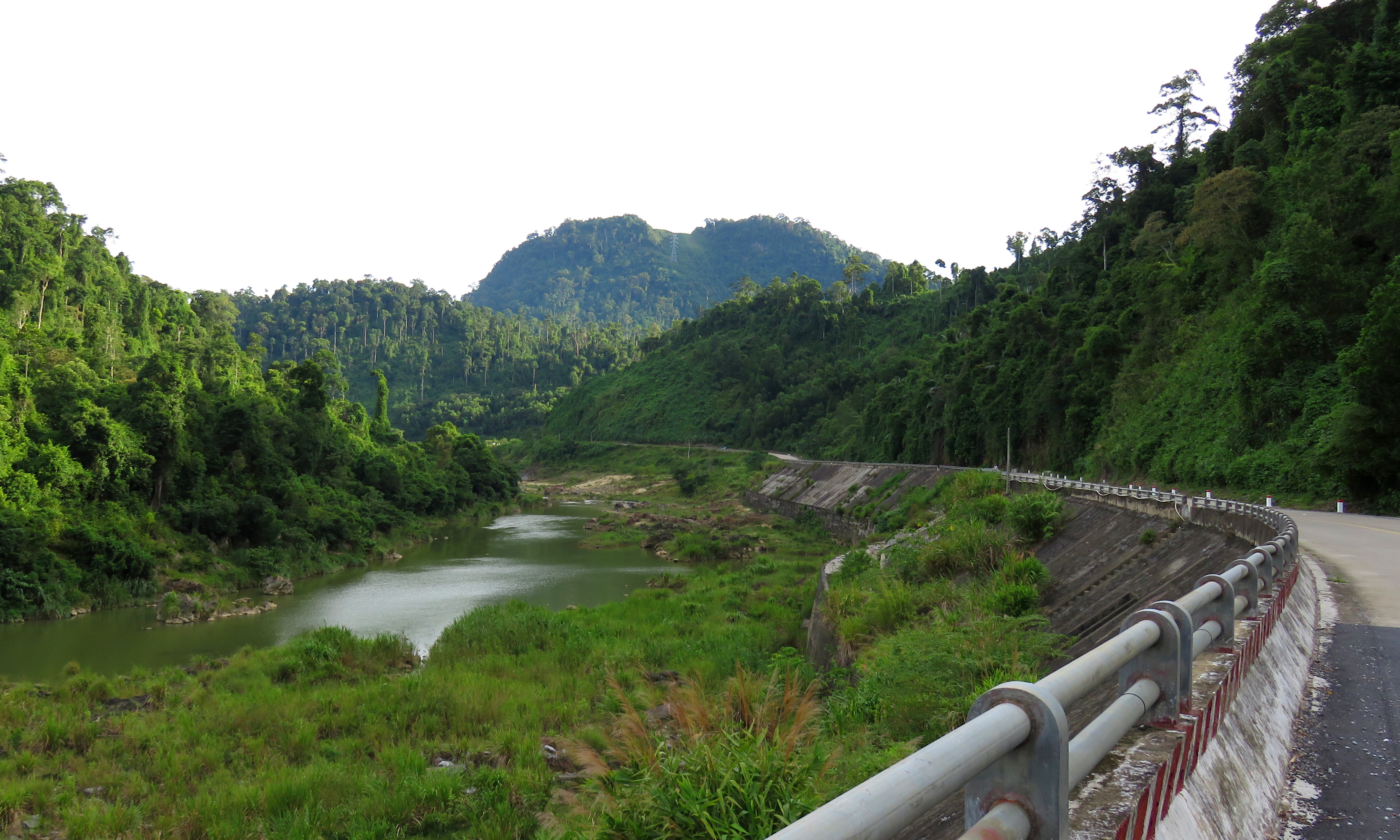
The road over the bridge takes off to the west, up the 14-D. This road travels a long ways into Vietnam's frontier, and is full of ethnic villages and fairly wild terrain. It goes all the way to the Lao border, and initially follows the Song Thanh river valley before climbing out of and dropping back into several more valleys along the way. Back in Ben Giang, the main road (AH-17) goes off the left, and follows along the Song Cai river valley. The first part is somewhat wide and open, and the view is dominated by the peaks of Yanh Brai, the limestone peaks that rise majestically to the easy. Several good viewpoints can be found along the river.
Nui Yanh Brai.
Quick photo stop south of Ben Giang.
|
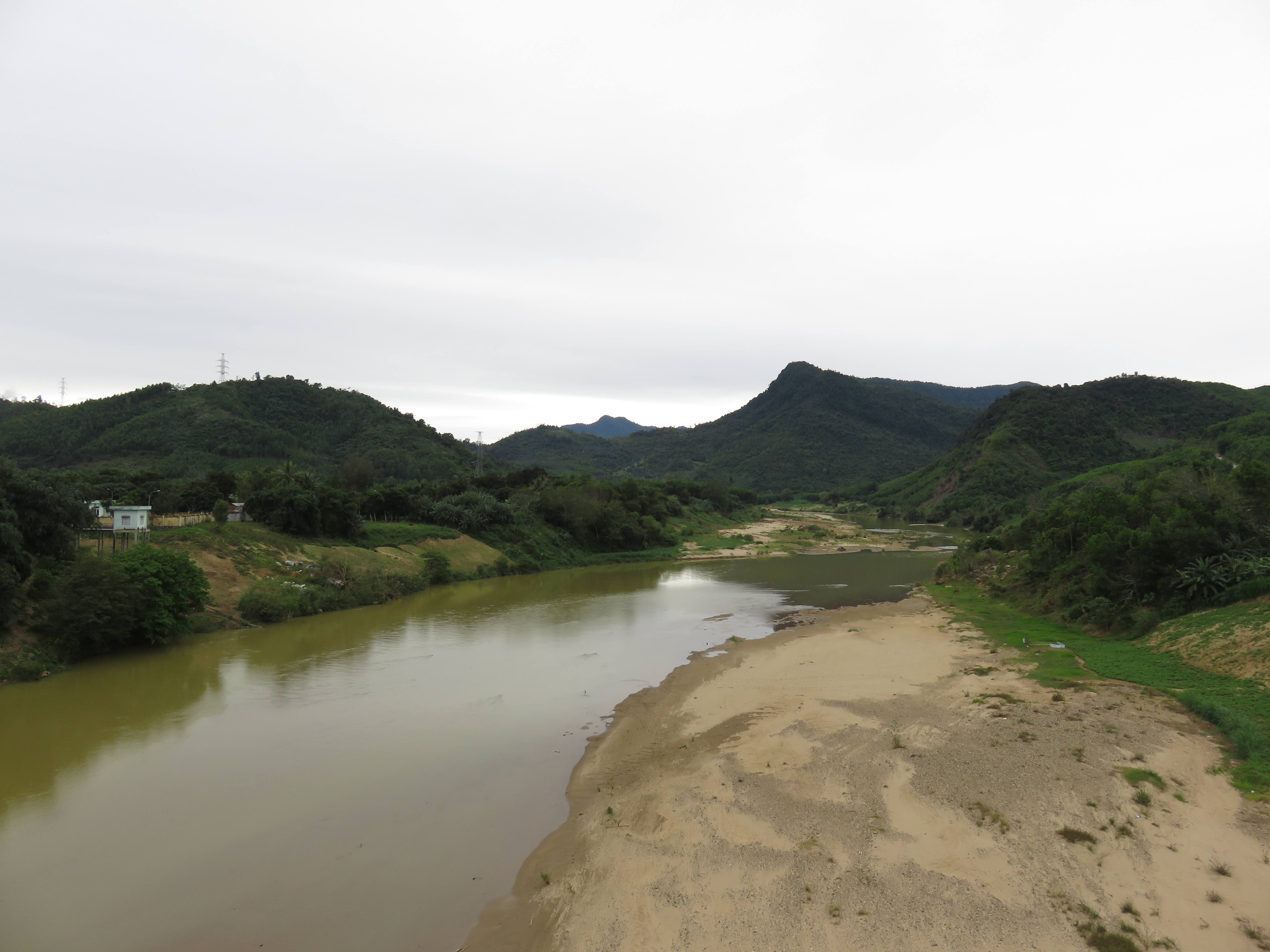
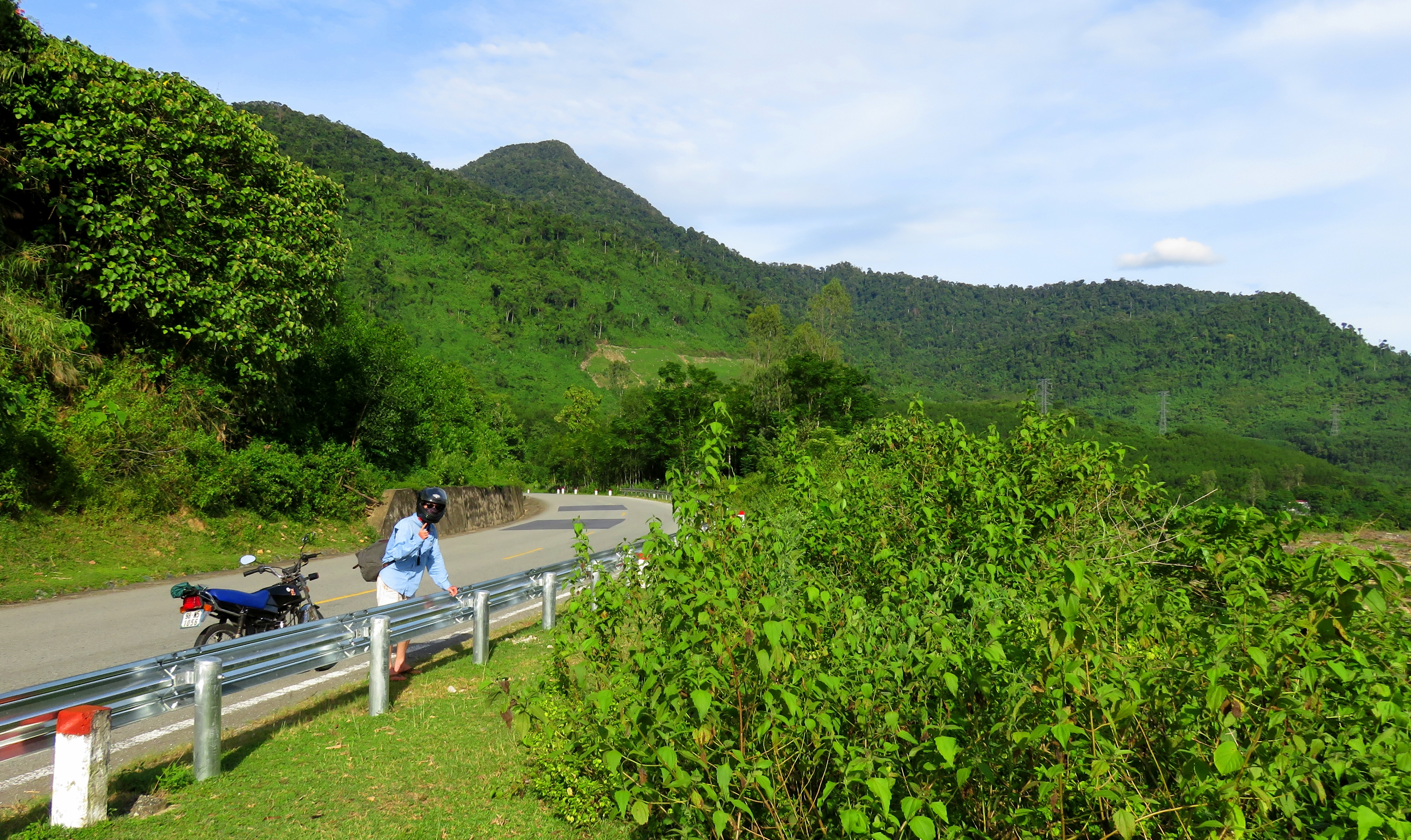
For the next 30+ kilometers the road stays relatively the same, winding along and above the Song Cai, sometimes close to and sometimes far away from the river. A handful of tributaries come out of the mountains and join in, and there are lots of groves of old growth on the hillsides.
|
Typical scene along the AH-17.
|
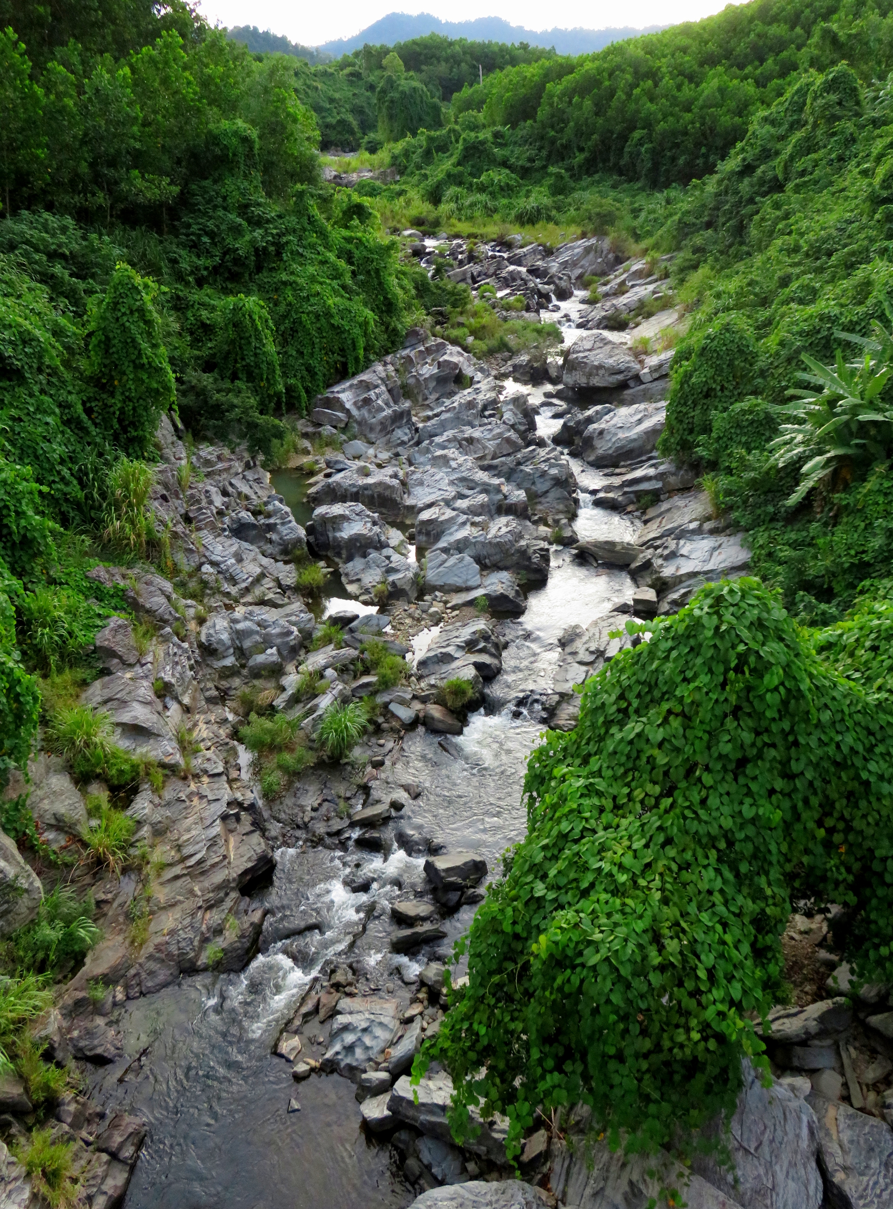
Steep tributary full of small falls and rapids.
|
Falls at the rest stop.
|
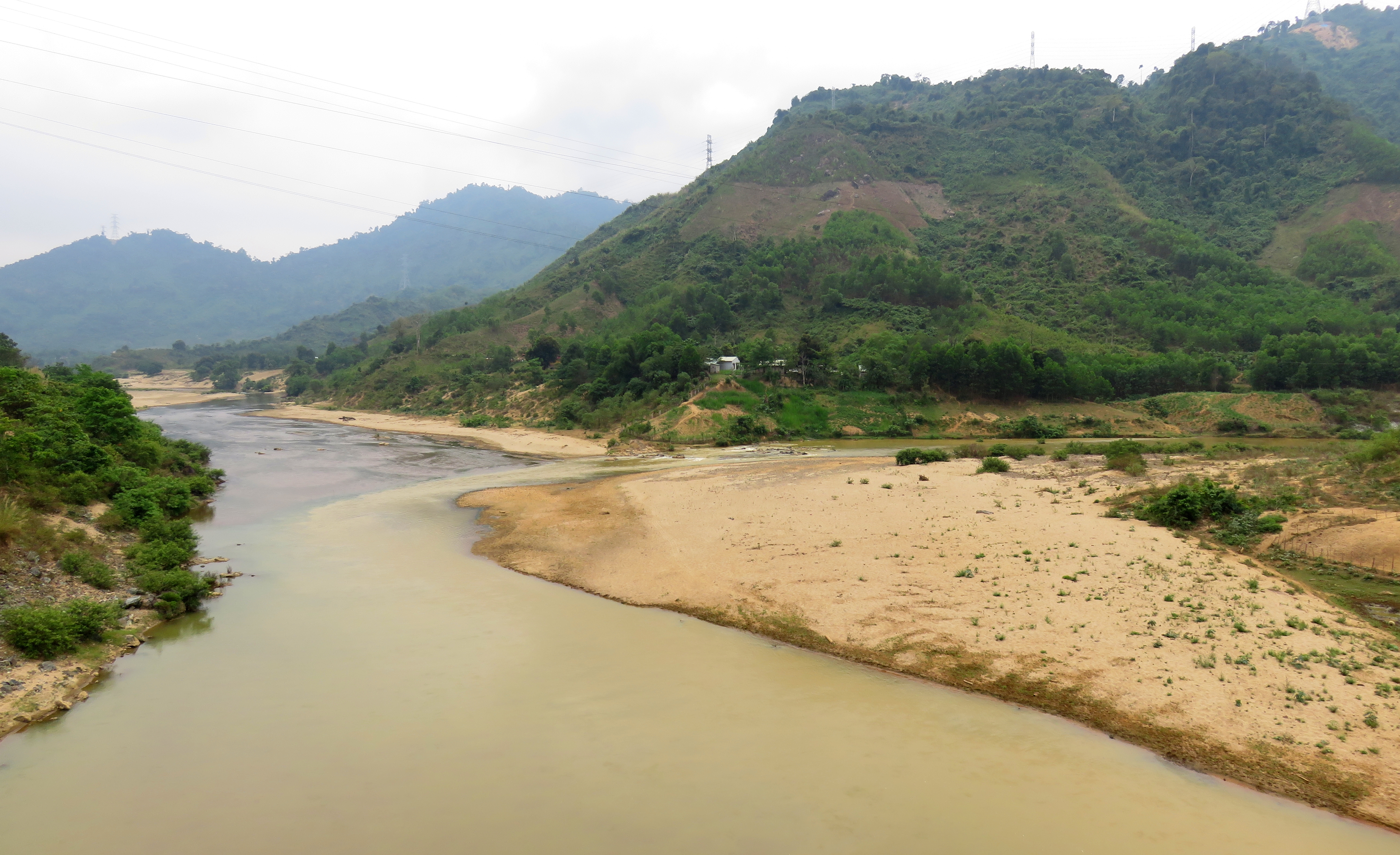
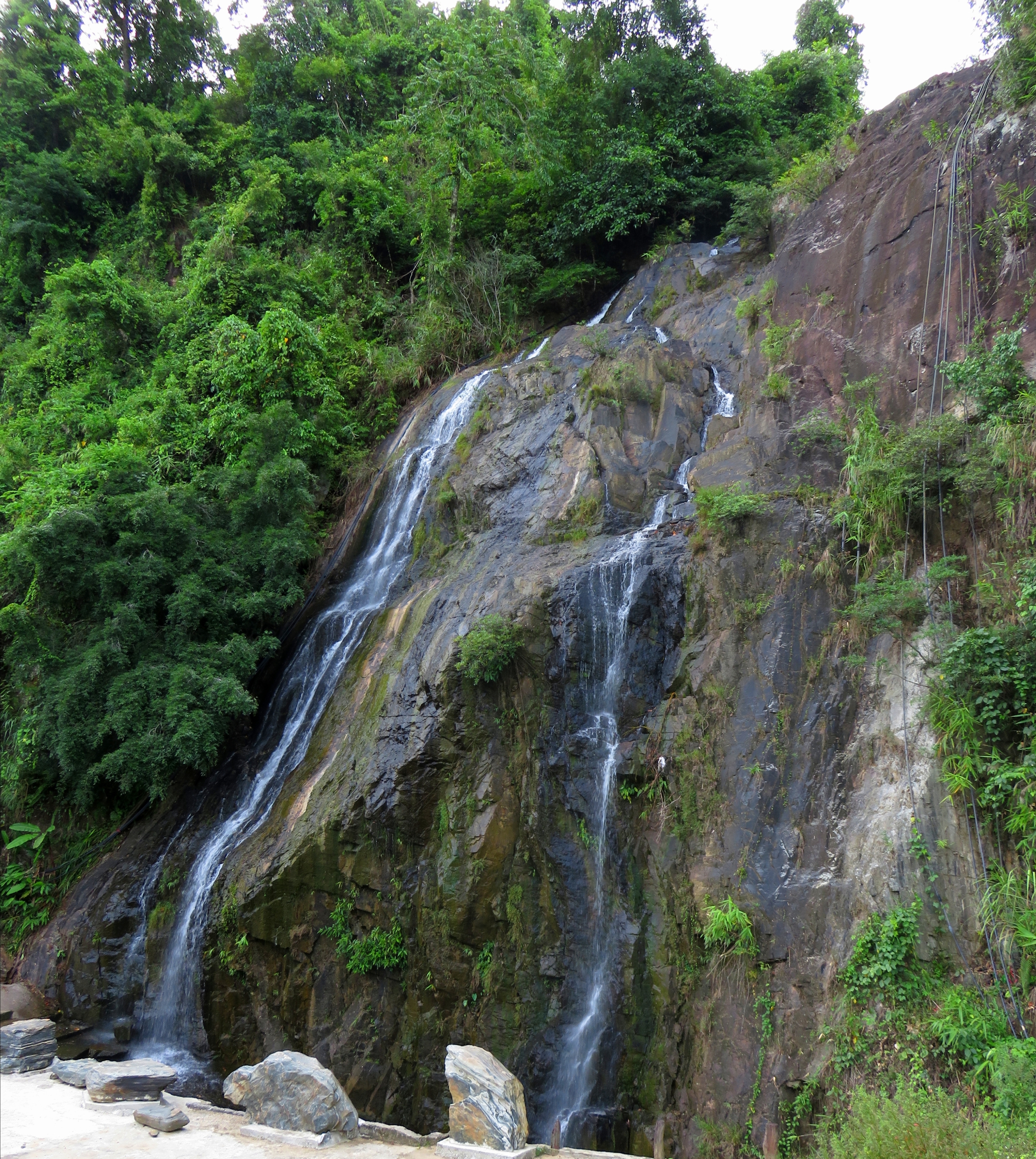
Shortly before Kham Duc, the river narrows into a tighter canyon. As the road comes around the corner into the gorge, a waterfall comes in on the roadside, pouring off a ledge about 15 meters up. A large rest area has been built around this falls to service long-haul coaches and lorries on the Ho Chi Minh Road. Not far after this gorge, the large Dak Mi 4 dam comes into view, with a mighty range of mountain rising behind it. The road climbs up one last series of hills, and then drops down into the little valley that holds Kham Duc.
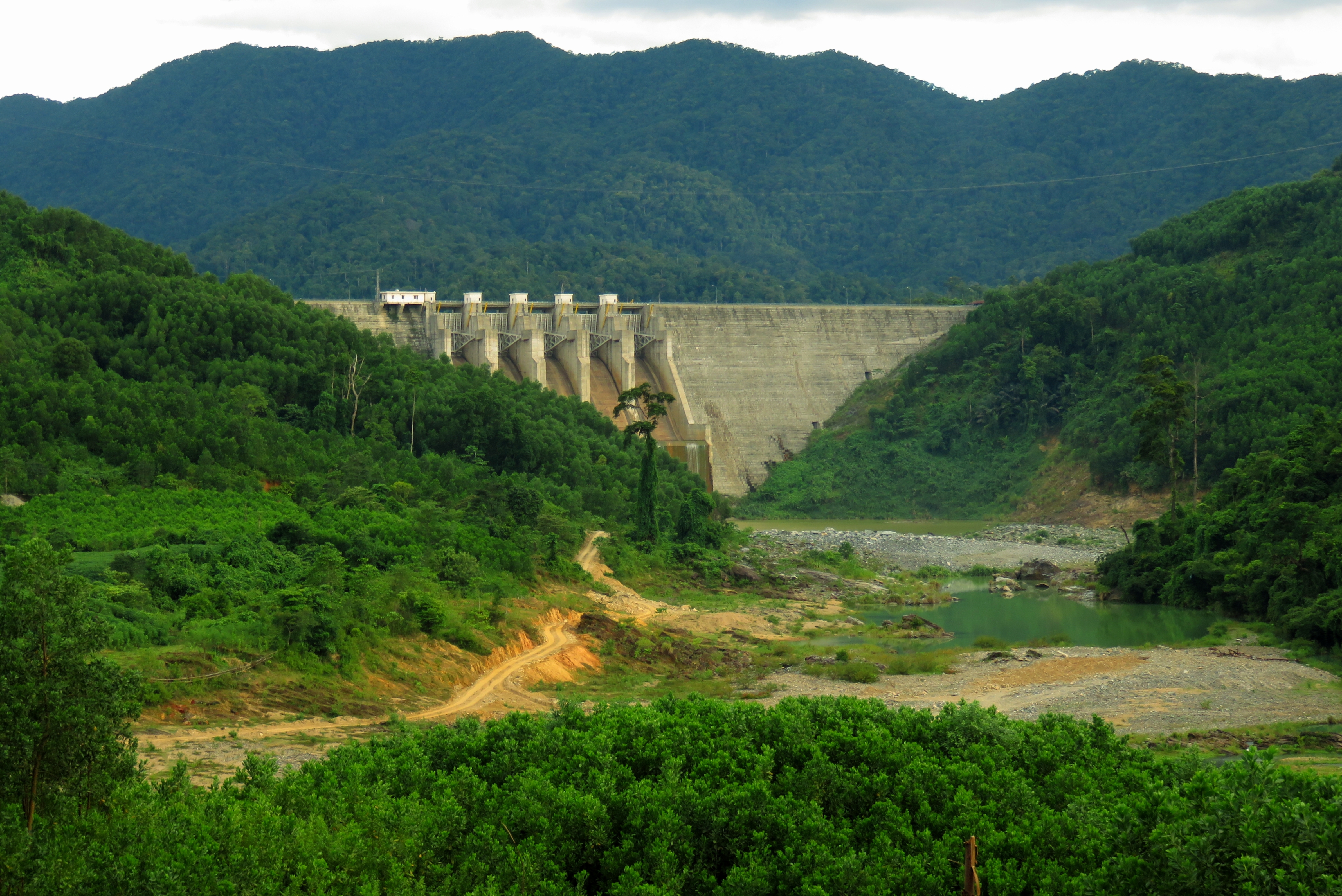
Dak Mi 4 Reservoir Dam.
Nui Xuan Mai rising above the Cai River Valley.
Much like many other places across Vietnam, Kham Duc has a bit of a brutal recent history. Thanks to the gentle grade, and the local area being used for his personal hunting area, President Ngo Dinh Diem of the Republic of Vietnam had an airstrip built here in the middle part of the 20th century. Later, during the US-Vietnam War, the airstrip was taken over by US/Southern Vietnam forces. During the summer of 1968, the airstrip was laid siege by North Vietnamese and VC forces, and thanks to a heroic series of landings, the US troops and Vietnamese civilians were evacuated, at the expense of several planes, helicopters, and human lives. Eventually everyone was removed, and the North Vietnam/VC forces overran the camp and the fighting was over. Hundreds of deaths, both US, Vietnamese, and civilian were tallied before the conflict was all finished. To this day, the runway is still there; however today is little more than an overgrown clearing in the jungle. It looks like the modern town of Kham Duc has plans with it, perhaps to turn it into a large city street. Who knows.
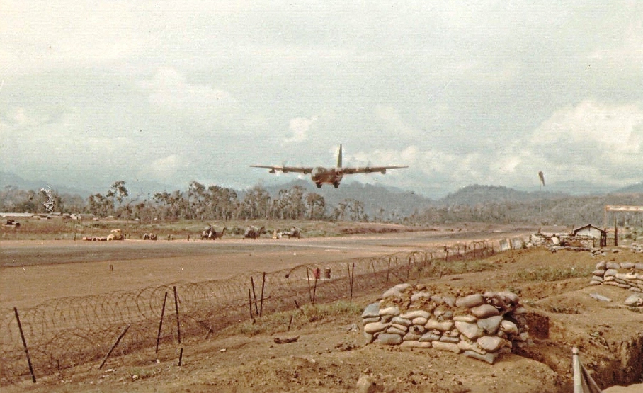
Kham Duc Airfield during the US-VN War. Source: http://www.a70thvets.com/file/..%5CGoldberg/pictures/.
|
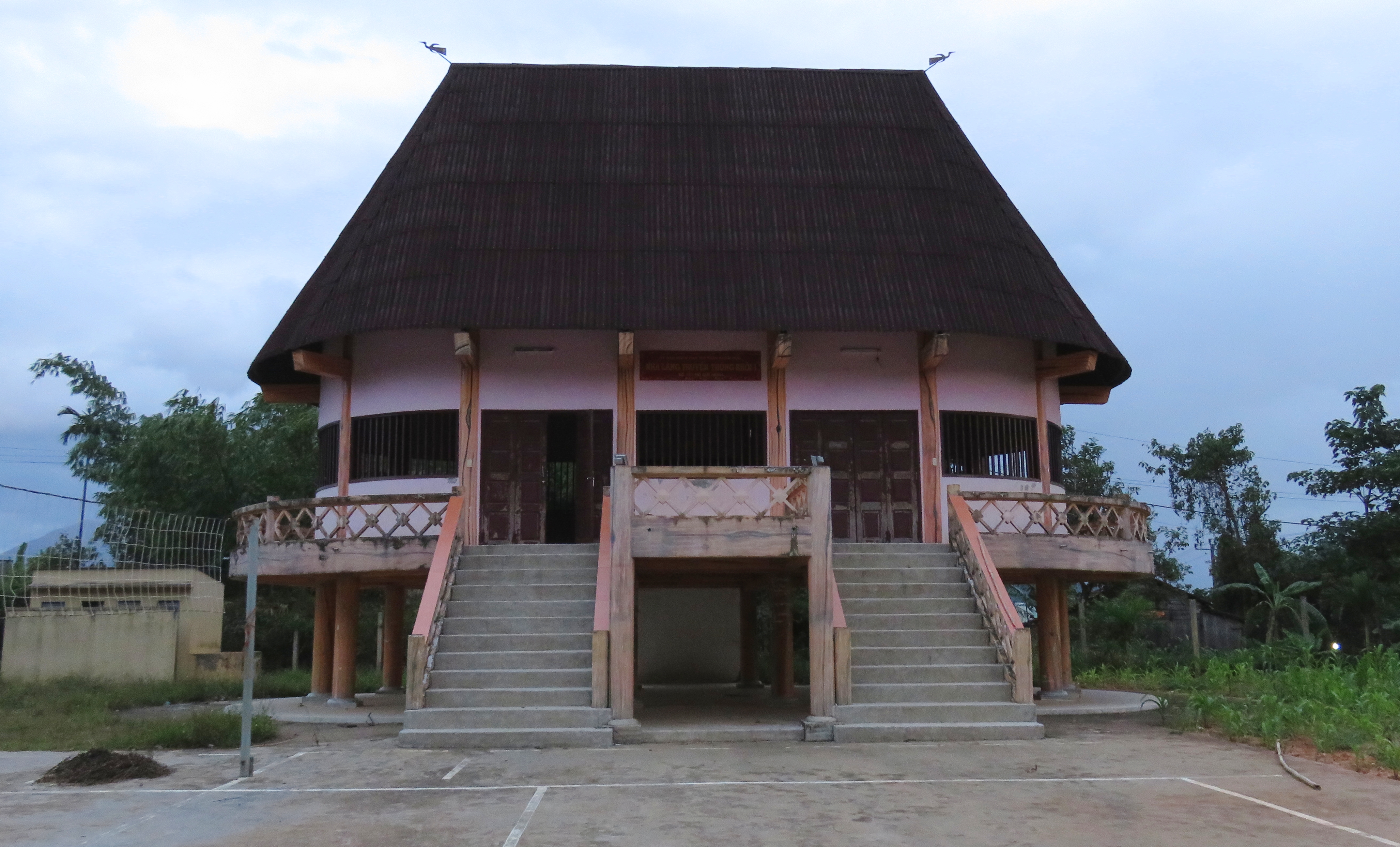
...and Kham Duc's airstrip today.
|
|
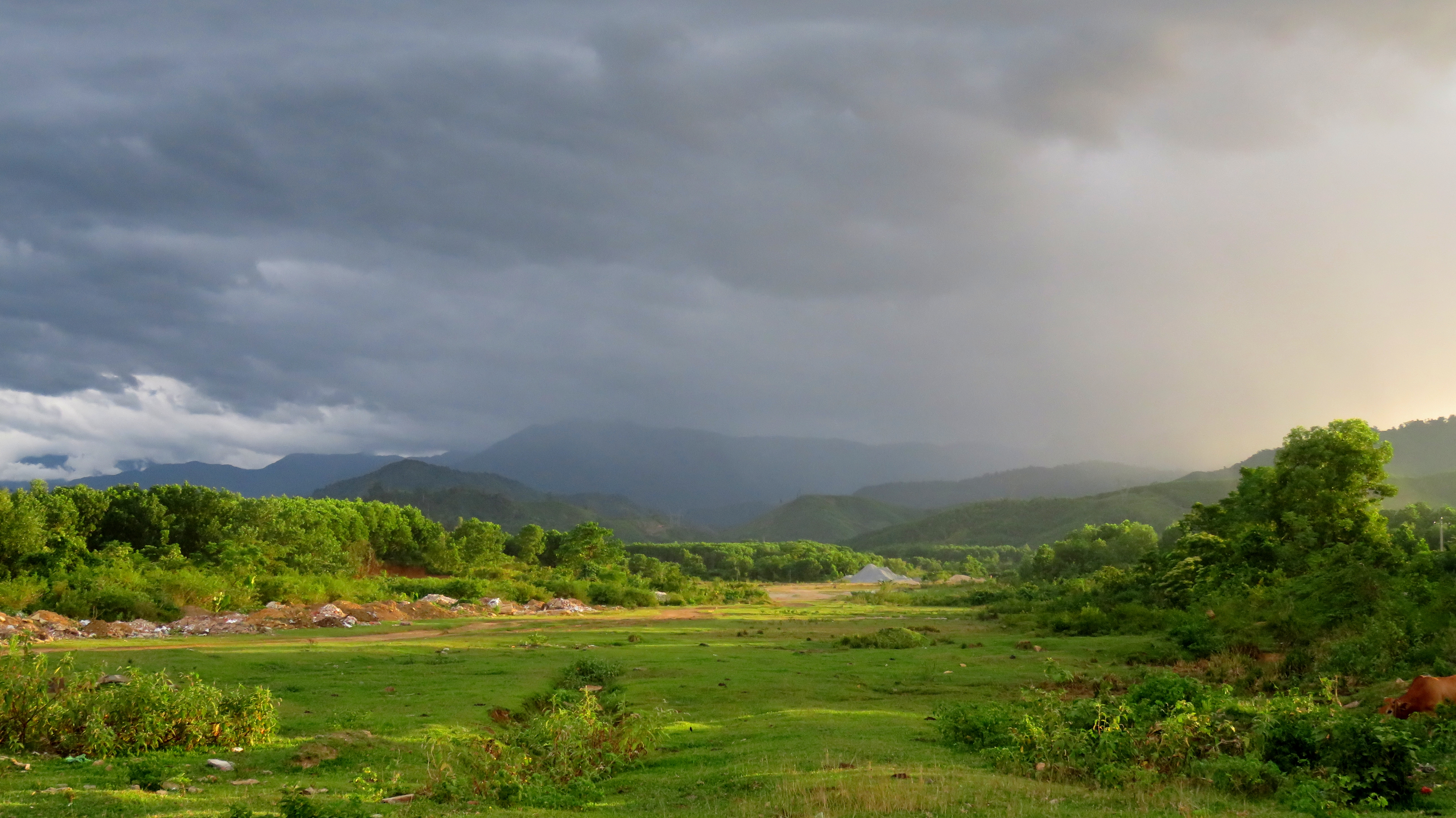
The afternoon we arrived in town we got to town just before sunset, so we headed up to a hillside above town and thanks to some beautiful rain clouds and adjoining rainbows, we had an incredibly beautiful view. The charming village of Kham Duc, sitting in it's sheltered valley, with the massive peak of Nui Xuan Mai rising behind. That night it was a simple local dinner, and then off to an early bed time at the pleasant Be Chau Giang Hotel.
Goul in Kham Duc.
|

Rainbow over Kham Duc.
|
Kham Duc sits in this beautiful valley below Nui Xuan Mai.
The Map
On to Day 2 ->
All photos copyright Kit Davidson. All maps copyright and courtesy Google.
