Let's Drive to P'rao!
So you're in Da Nang or Hoi An and you are looking to take a drive. Whether you are a short time visitor looking for a more "off the path" adventure, or a seasoned local who is simply eager to go someplace new, you have chosen on going to P'rao, in Dong Giang District, Quang Nam, and now you are looking for how to get there. This guide is meant to give you an idea of what to expect on your trip into the mountains of central Vietnam.
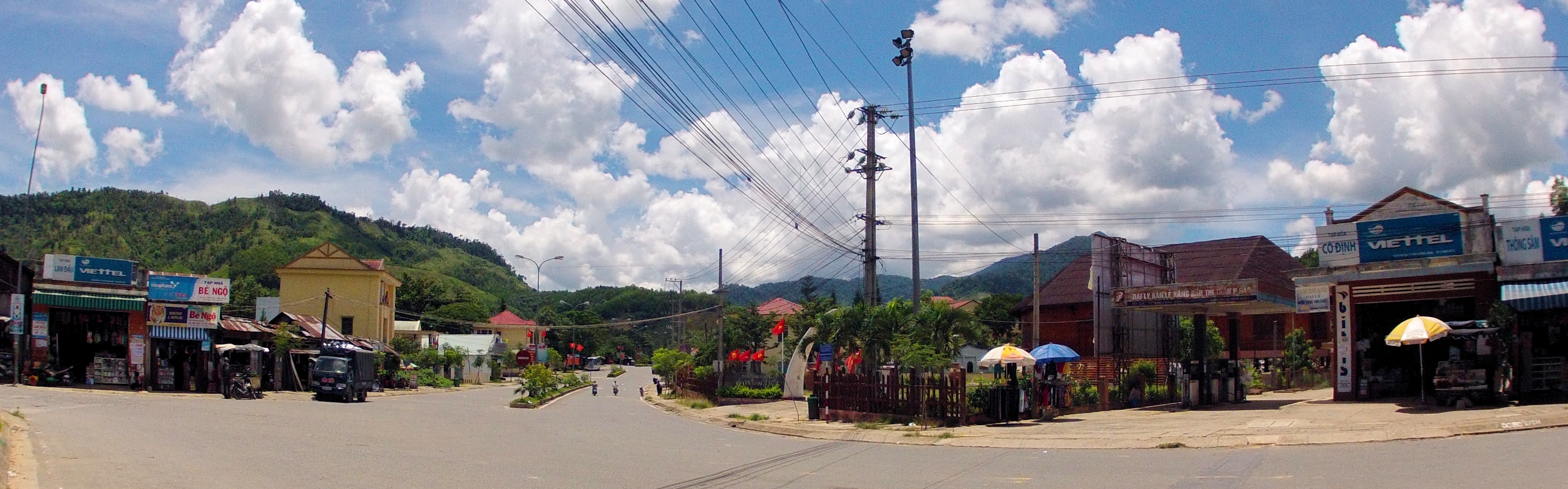
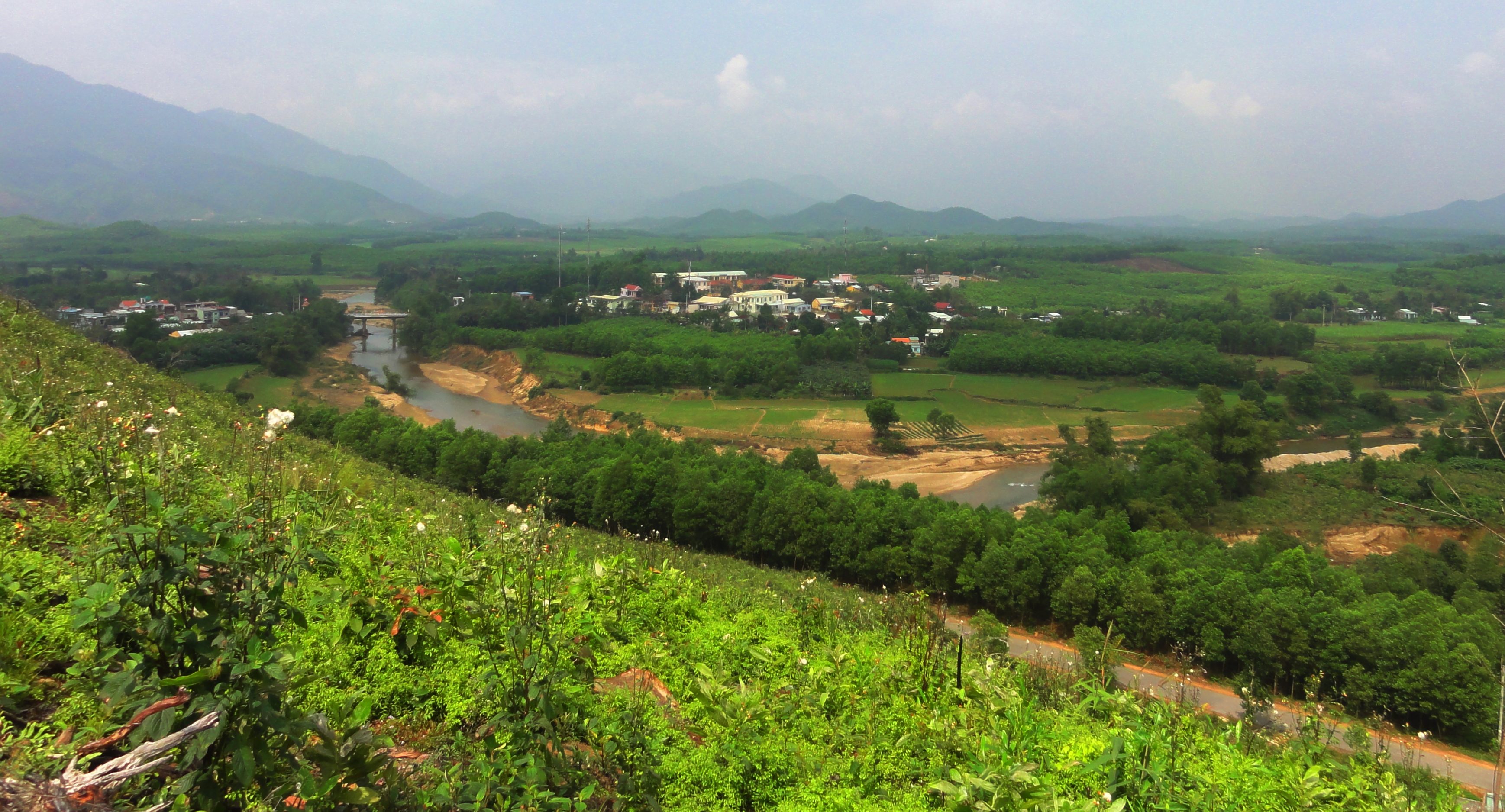
Downtown P'rao.
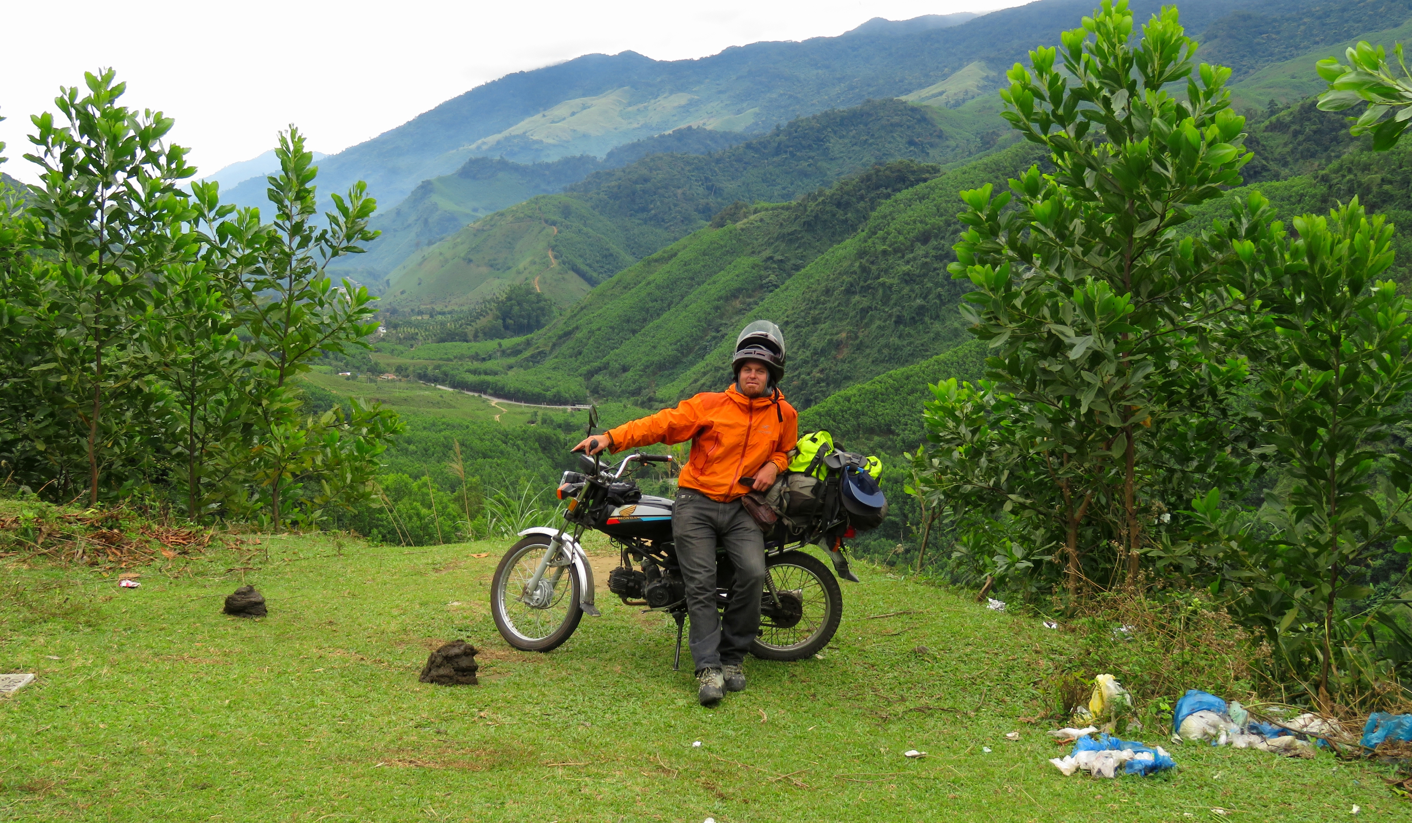
The section of highway from the coastal plain up and across to P'rao is known as the 14G. Whilst it is in the Da Nang city-province, it is also known as PH-604, or provincial highway 604. This road starts in the town of Tuy Loan, southwest of Da Nang and conveniently located along the AH-17, the main road from Da Nang to the Ho Chi Minh Road. It then climbs up the Lo Dong River, crosses two other sizable river basins, and then goes up and over some foothills before reaching the town of P'rao, deep in the mountains. This will try to give you a good guide of what to expect along this road. It is a great trip for anyone looking for a full day trip with lots of riding. It's not necessarily difficult, so even strong beginners can do it. Expect anywhere from 6 to 8 hours for this trip, depending on what you chose to do, and there will be more on that later.
Step 1: Tuy Loan, Hoa Phong & Hoa Phu
|
Before you can head up into the mountains you must first get to the beginning of the 14G. As I said before, this is in Tuy Loan town. To get here from Da Nang, get yourself on Cach Mang Thang 8, which can be found by driving west past Metro and continuing straight through all roundabouts and intersections. Follow this and make a note of when you pass the AH-1 Bypass.
Shortly after is Tuy Loan, and shortly after that you will pass the Hoa Vang District offices on your right. Continue along, and your turn is the next one to the right. |
|
If coming from Hoi An, it's best to take Hung Vuong all the way west and catch Highway 1. Drive north until you reach the Hoa Cam flyover in Da Nang, where you should exit and join the AH-17. Then follow the above instructions.
There is a second road that goes directly from Tuy Loan, and angles off to the right just past the AH-17 / QL-1 intersection; this road is in bad shape and should be avoided until it gets fixed. Until that happens, use the newer road a couple kilometers to the south.
There is a second road that goes directly from Tuy Loan, and angles off to the right just past the AH-17 / QL-1 intersection; this road is in bad shape and should be avoided until it gets fixed. Until that happens, use the newer road a couple kilometers to the south.
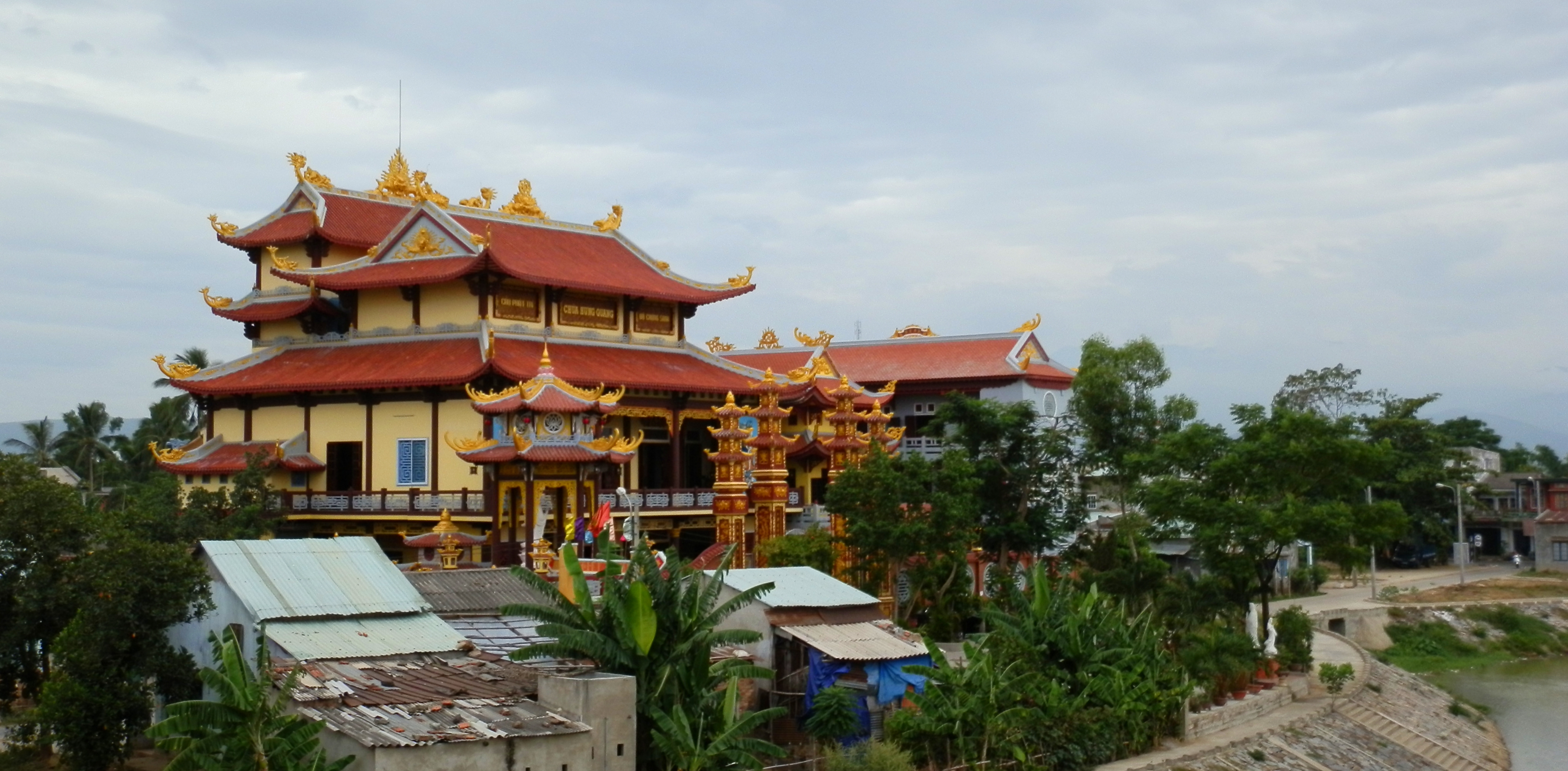
Chua Hung Quang, in Tuy Loan Town.
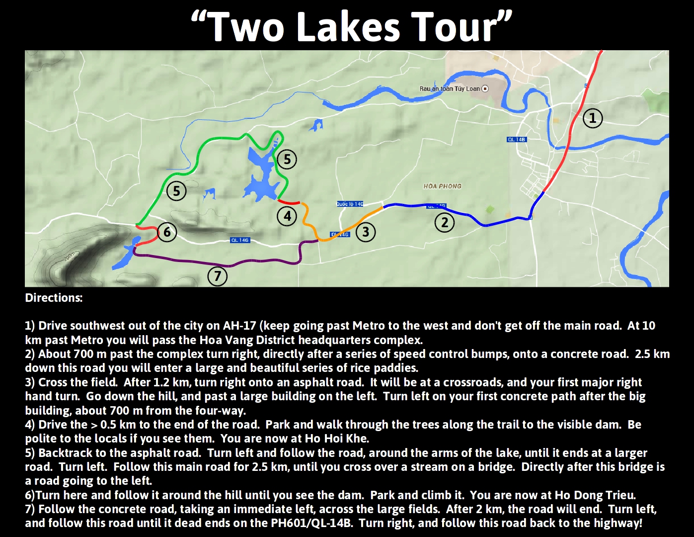
Once on the 14G, you will cruise through some small communities and rice paddies for a while. Almost directly after Tuy Loan is Hoa Phong. There is a big brick factory down the road a ways, and directly after that you go down a hill and cross a beautiful and huge expanse of rice paddies. Through some more villages, past the turn for the Two Lakes Tour, and Phuoc Nhon Hot Springs, and then you will reach an intersection with the other road that comes from Tuy Loan. Turn left. Around a big corner and down the hill and you are in Hoa Phu. At the main intersection in town you can turn right, and cross the bridge, which will take you to the Ba Na Hills superhighway. But don't do that now, keep going straight.
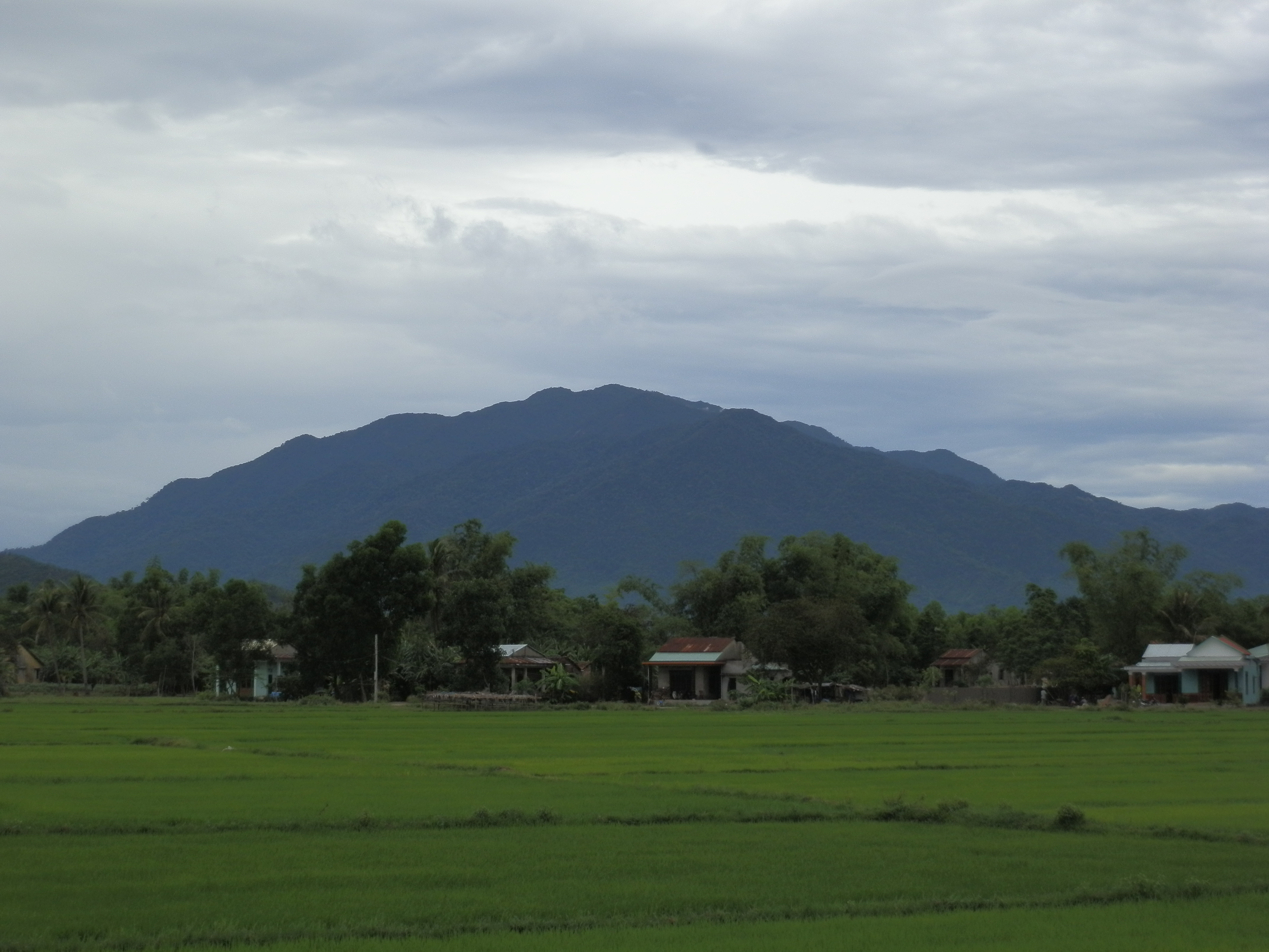
Nui Chua [Ba Na Hills] from the 14G.
|
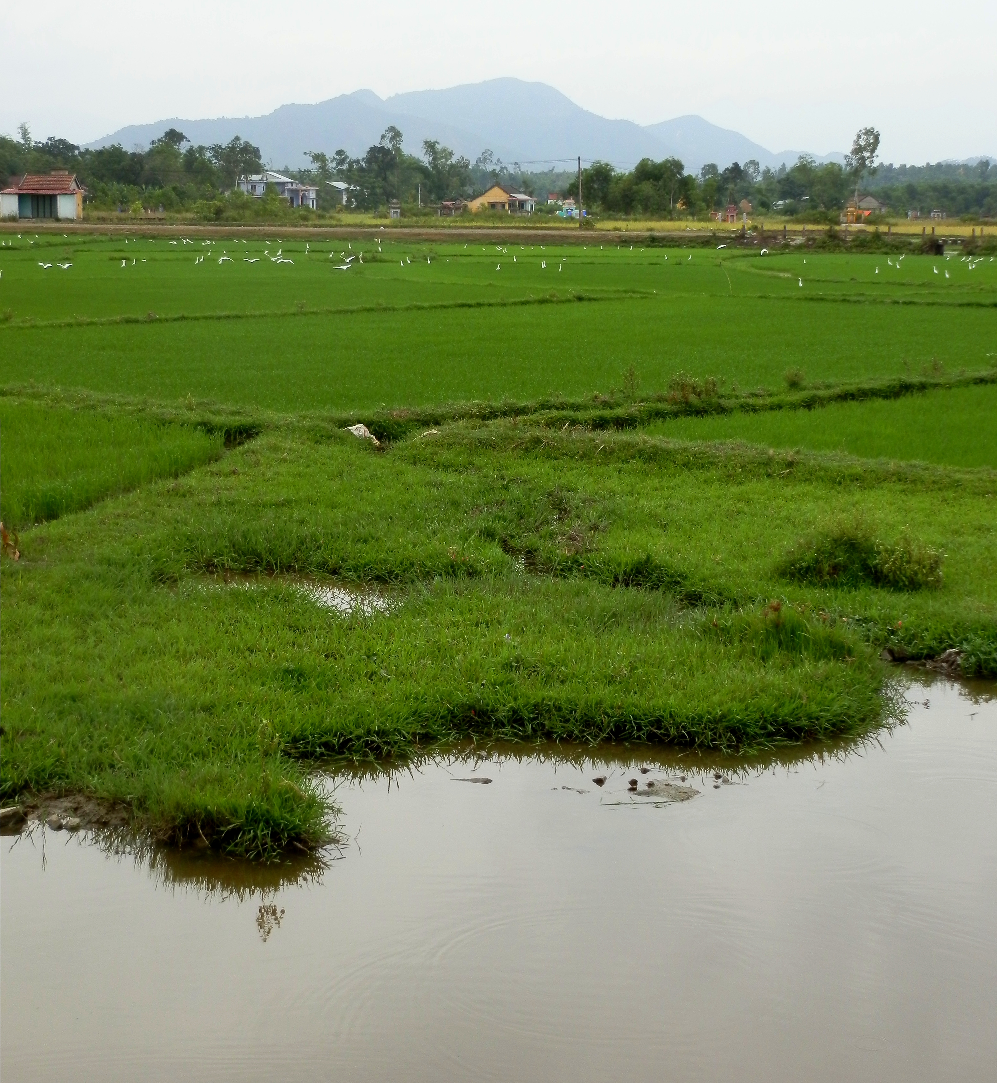
Great paddies in Hoa Phong.
|
Hoa Phu from Pine Tree Ridge.
After a while the mountains will draw in close, and the peaks will start to rise. You are leaving the Hoa Phu area and are starting up the river valley of the Lo Dong River. The turn off to Ngam Doi Waterfall resort is on the left, and just past this the road goes through some big curves and then passes two coffeeshop/restaurants right before a bridge. This is a good place to grab a coffee and catch your breath before the next push.
Step 2: Song Lo Dong Valley
Near Ngam Doi.
The next stretch climbs all the way up to the very top of Lo Dong River valley. Right after crossing the bridge, you will first pass Nui Than Tai, a Japanese style onsen resort built by DHC (the same people as the Da Nang Marina) and then immediately start climbing up. The valley alternates between steep gorges and flat open sections. Some of these gorges are beautiful and can be seen from the road. Crystal clear water dropping through and around some massive boulders.
|
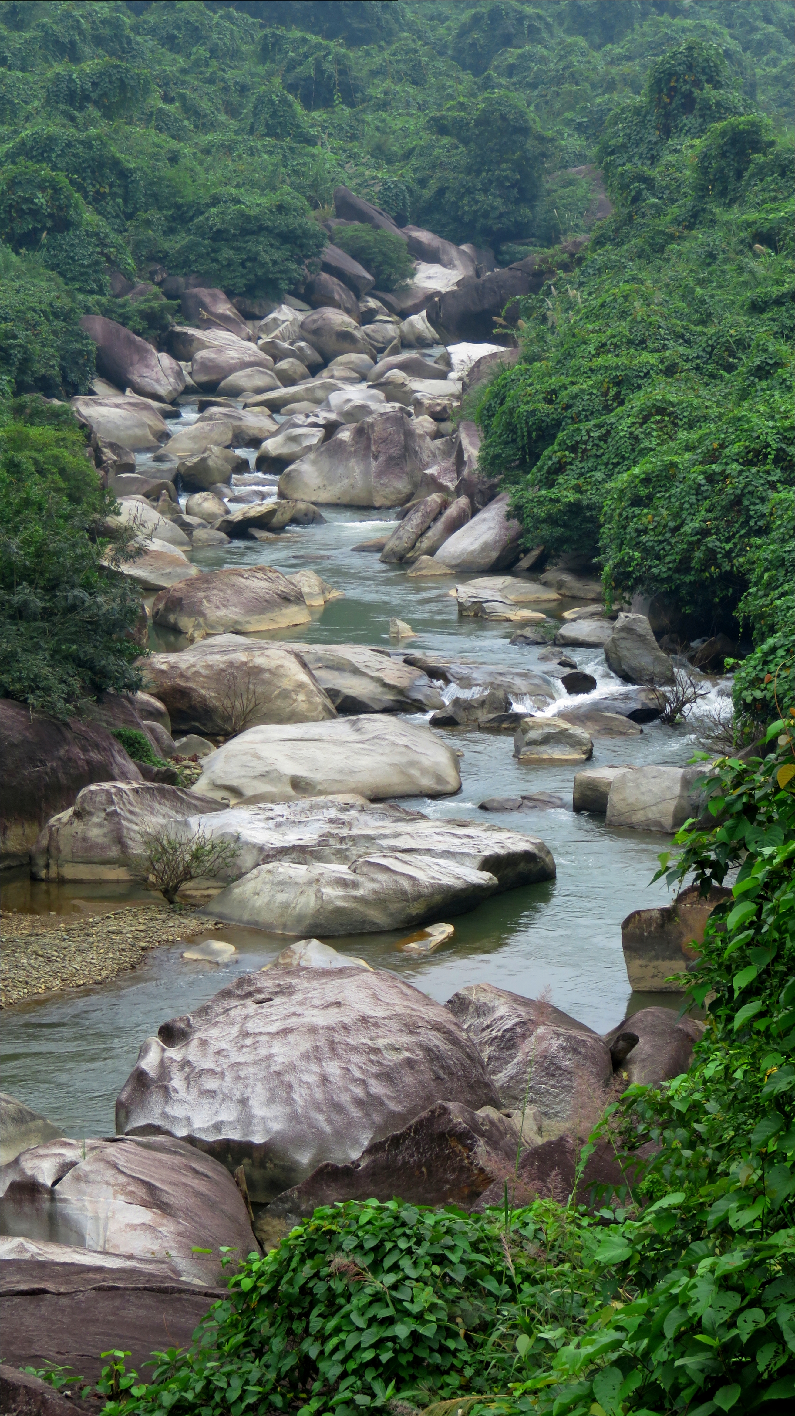
Gorge near Suoi Hoa.
|
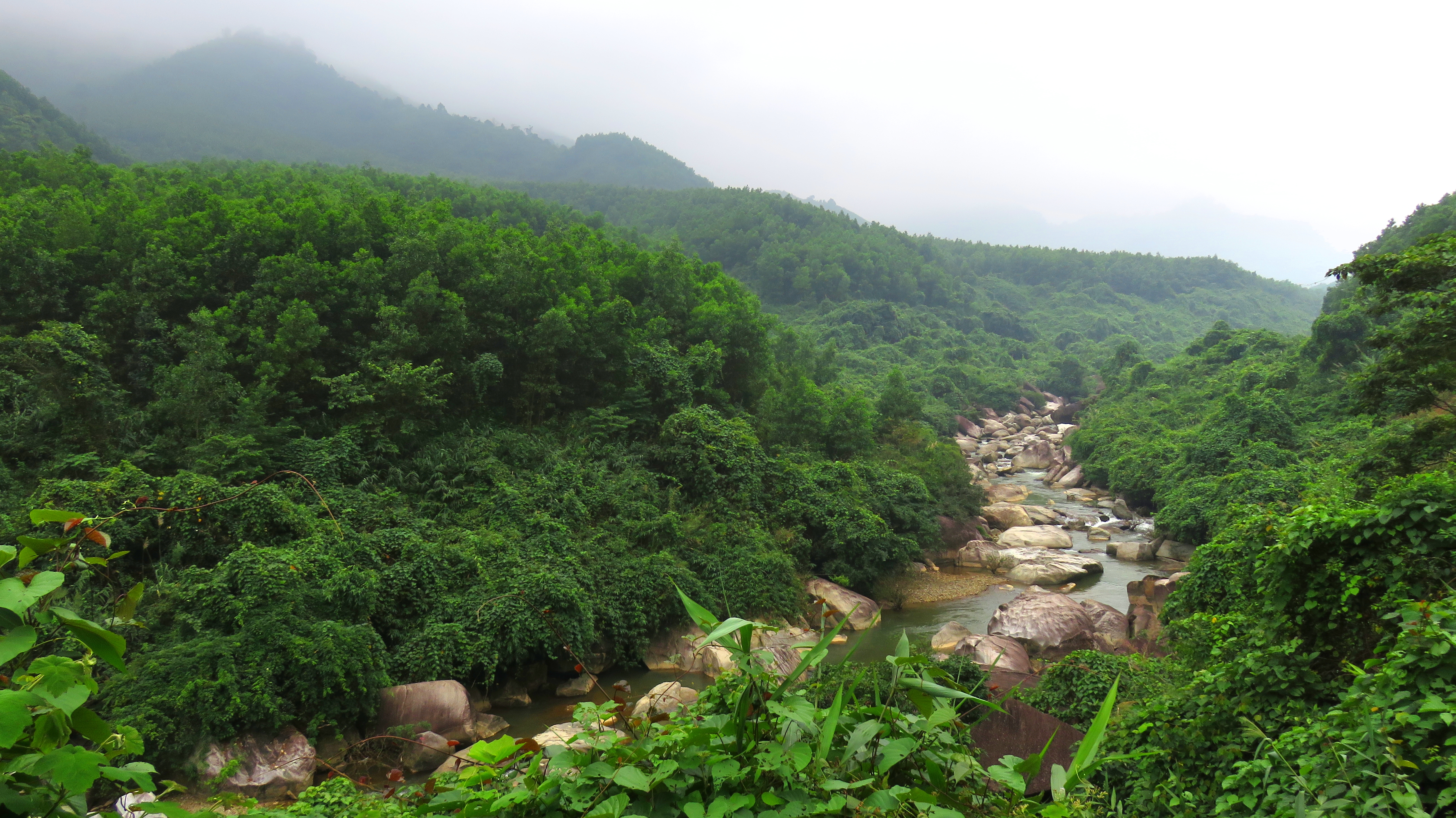
Song Lo Dong Valley.
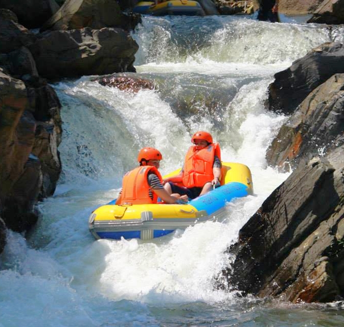
Photo courtesy Hoa Phu Thanh JSC.
|
A ways up the road you will first pass Suoi Hoa on your right, and then Hoa Phu Thanh on the left. Suoi Hoa is a swimming resort that has blasted a spring out to make the flow larger. It's always a bit chilly, and it's a fairly typical local resort, but I've still had some good times there. Hoa Phu Thanh is the rafting place that is kinda dangerous but still fun. They have an artificial lake that you drive by that they release once a day to ensure enough flow for the boats to get down. |
Overlook of Song Lo Dong Valley.
|
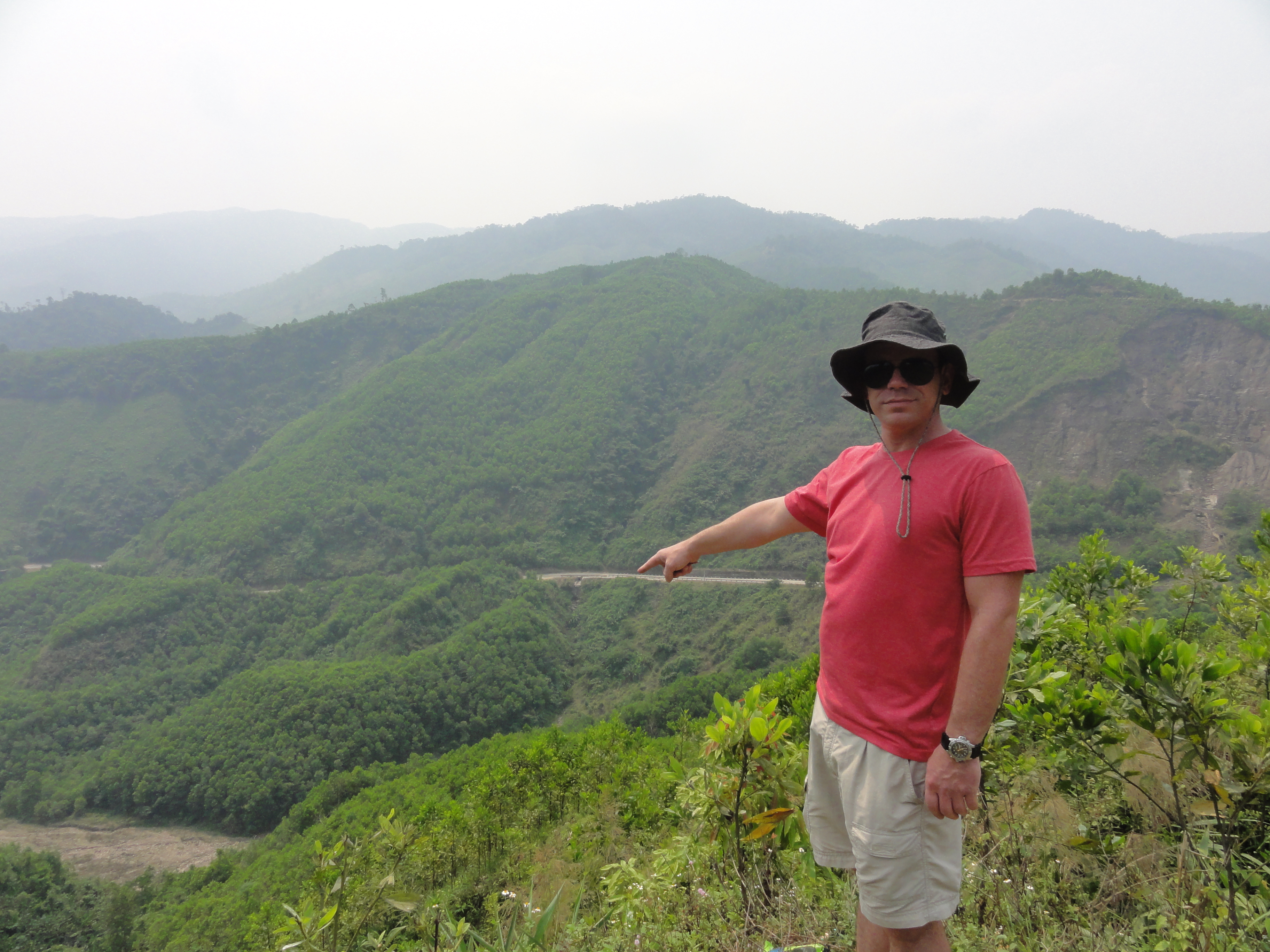
After a brief short area, the road then starts the final climb up. It climbs steadily for a few kilometers, and feels like you are coming up to the summit of a decent sized pass. Keen eyes may see one of the few small waterfalls dropping down on the other side of the valley. Just before what seems like the top, there is a great viewpoint down over the Lo Dong River Valley, although there always seems to be a bunch of trash here, which is a bummer as it is a really good view. However, just past, you quickly realize that it's not really a pass, but you have really climbed onto a large plateau. You've reached Quang Nam, specifically Dong Giang district, and are leaving Da Nang behind.
|
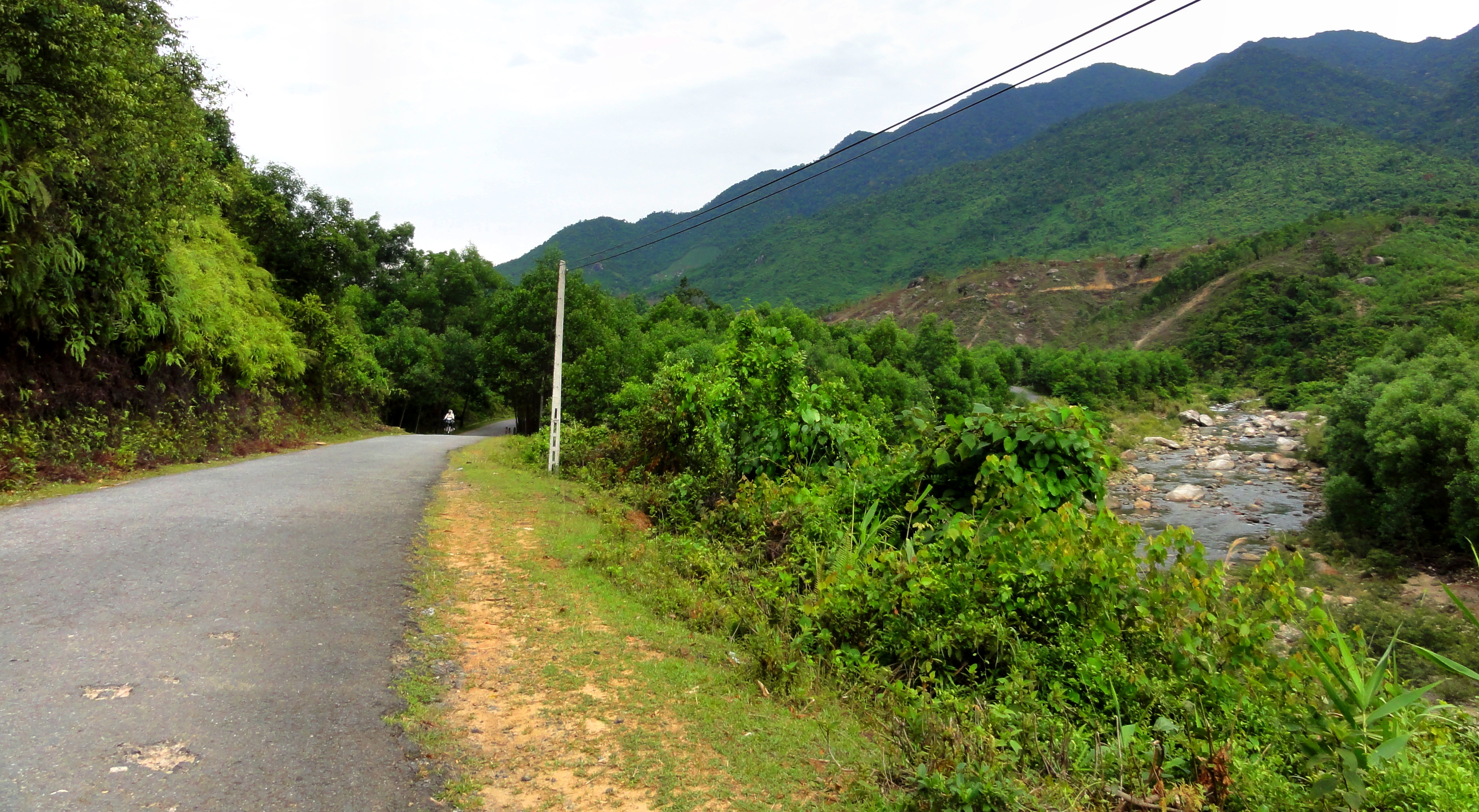
The road up to Dong Giang.
|
Step 3: Xa Ba, Song Vang, Jo Ngay and Song Kon
|
Once in Quang Nam, you will first pass along some rural fields for a handful of kilometers. In here you will pass by a huge field of tea trees, with a great view of Nui Chua (Ba Na Hills) in the background. Good photos abound here! Continuing on, as you get closer to the town of Xa Ba, you will pass a section of tea processing shops right along the road. If it's the right season you can often smell tea in the air even as you drive by. Quickly after this and you are in the middle of the town of Xa Ba. If you haven't stopped yet, this is a good place to stop and grab a bite to eat or a soda to wash down the road dust. There is a large mi quang place on the south side of the main square that is decent, and the vegetarian restaurant on the north east side is ok. In the middle of the central plaza there is a totem pole like marker that is a monument to local ethnic people who live in the greater area. |
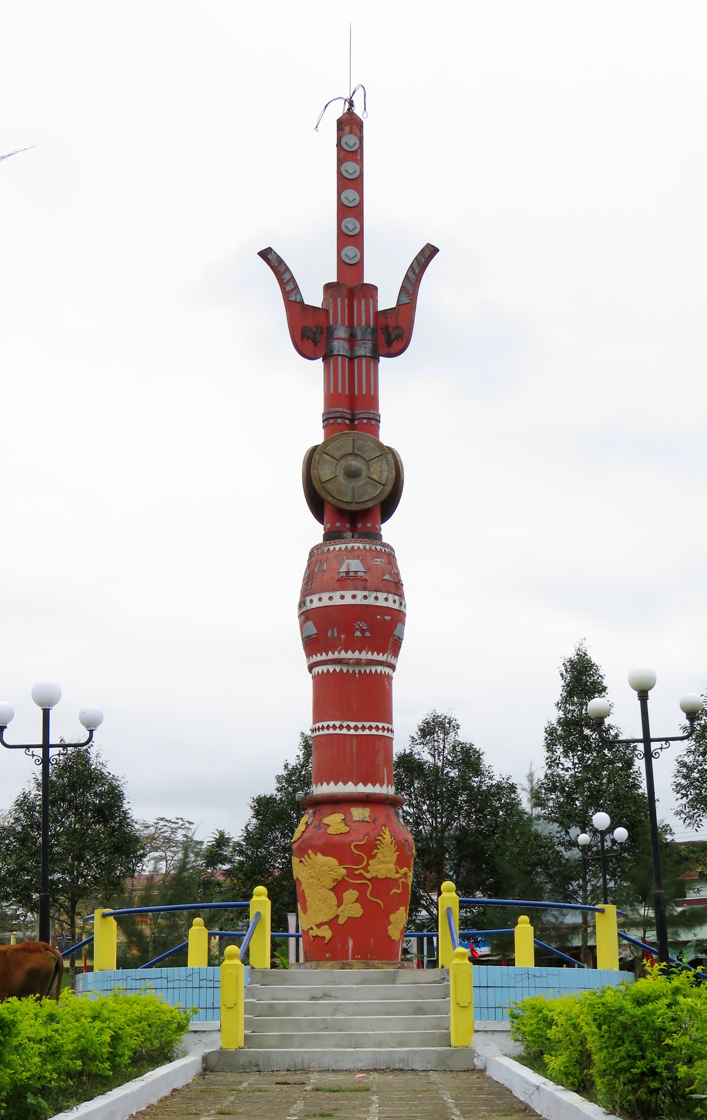
Xa Ba ethnic marker.
|
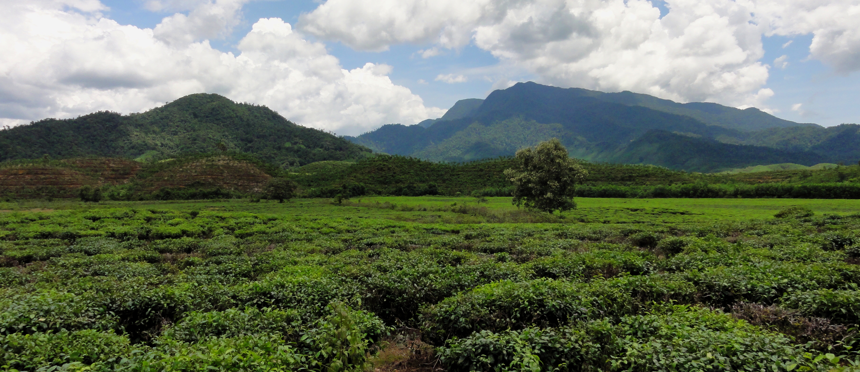
Tea fields outside Xa Ba, with Nui Chua [Ba Na Hills] in the background.
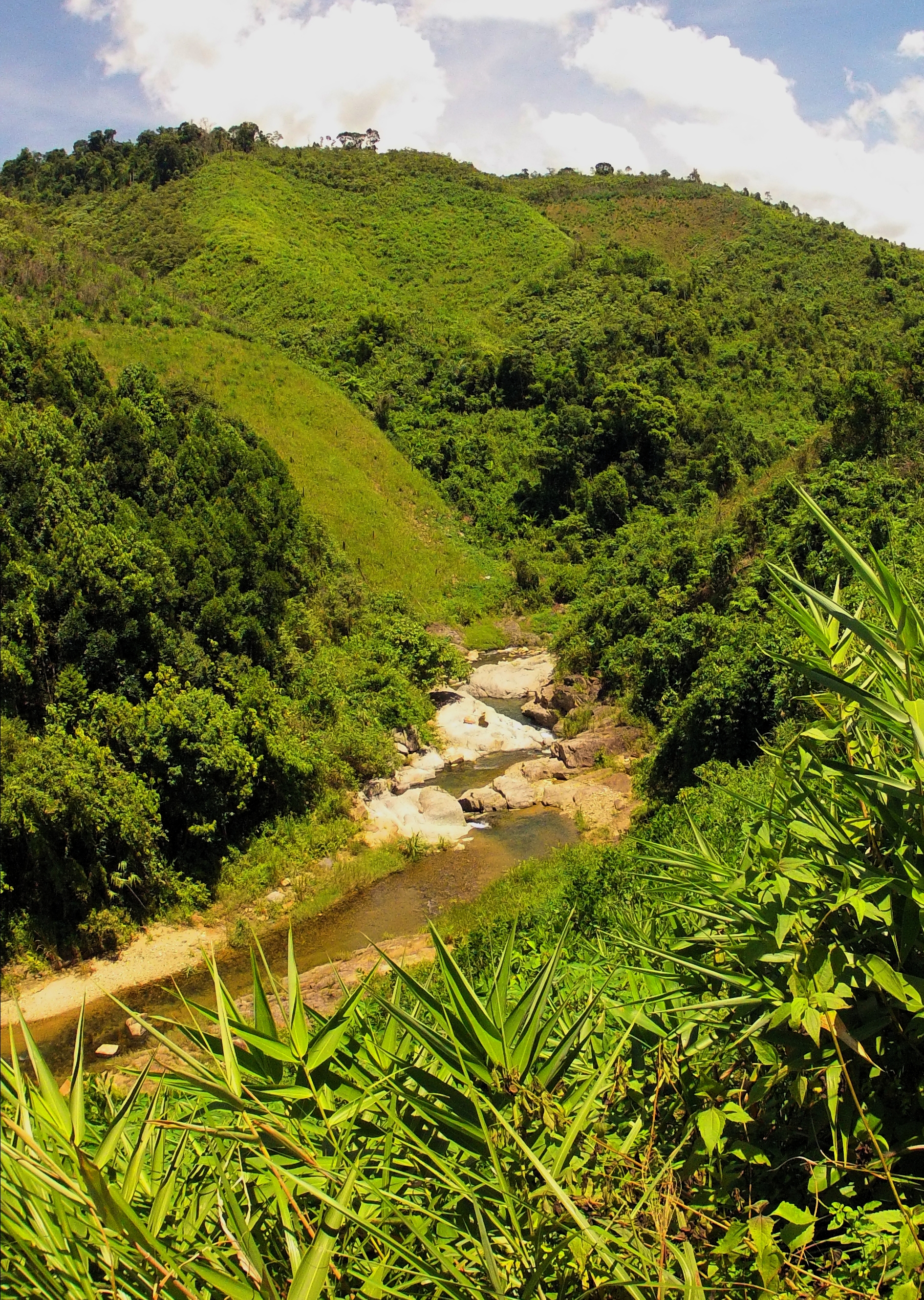
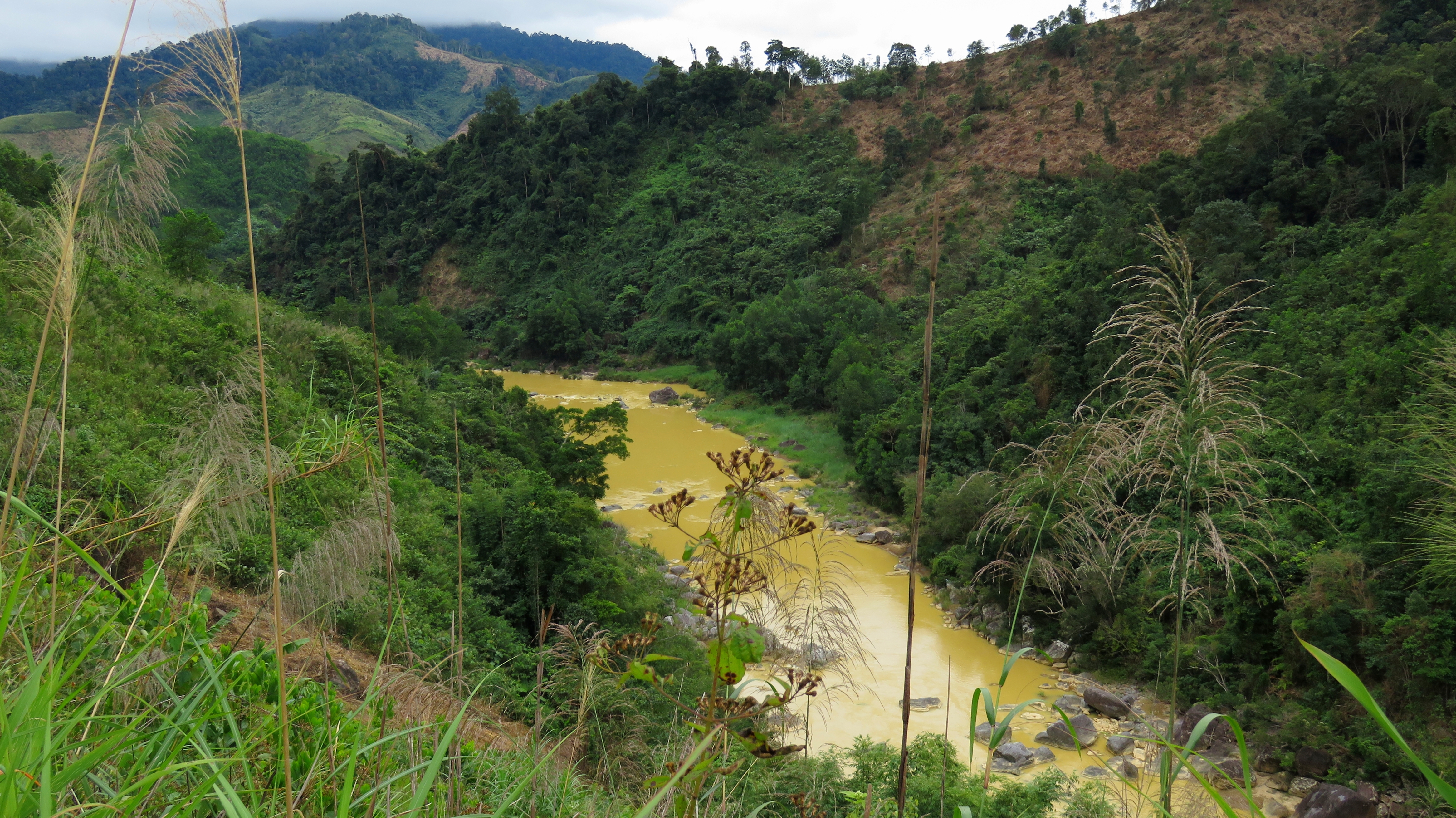
After Xa Ba, you will cross the Song Vang, or Yellow River. It's really yellow because the local area is sedimentary deposits, different from the harder volcanic bedrock that is more common in the mountains around here. So the river is carrying lots of dirt and sediment. After crossing, the road will continue into the foothills and slowly make it's way up to a gentle pass, at which point it starts going back down. Along this downward grade the road crosses over a creek and a small waterfall can be seen just upstream. There is another three waterfalls just downstream if you are willing to scramble as well.
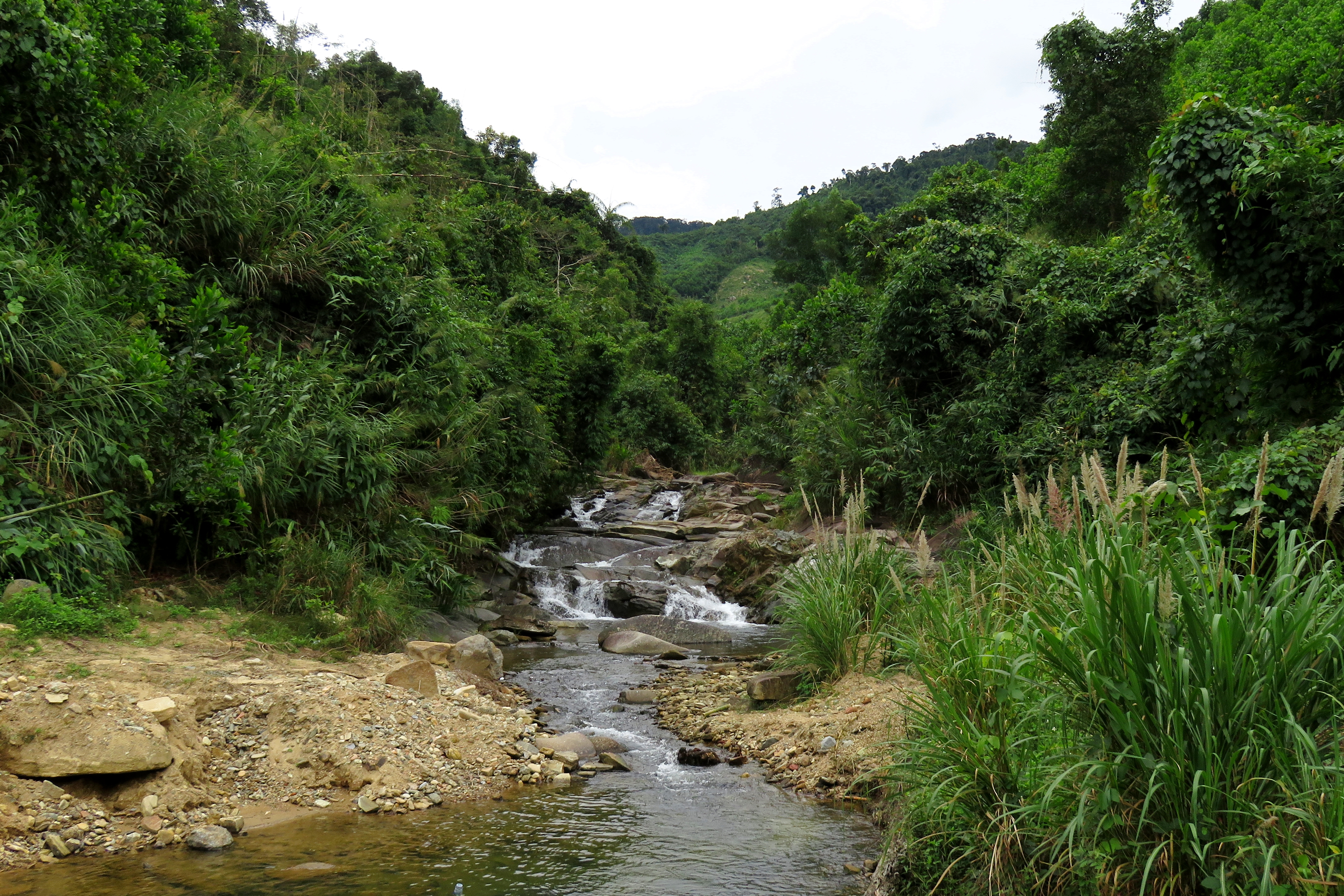
Roadside waterfall between Xa Ba & A Ting.
|
Mini gorge near Ta Lu.
|
After a while of wandering in the foothills, you will go through a couple of small villages. First, A Ting, and then Jo Ngay. Then you will cross another river here, called the Song Kon, and then begin another long and gentle uphill section. This section is nice, as you pass through small valley after small valley with ethnic villages and rice paddies. After what seems like quite a while, you will go through the small village of Ta Lu, and quick after you will drop one more time and finally roll into P'rao itself.
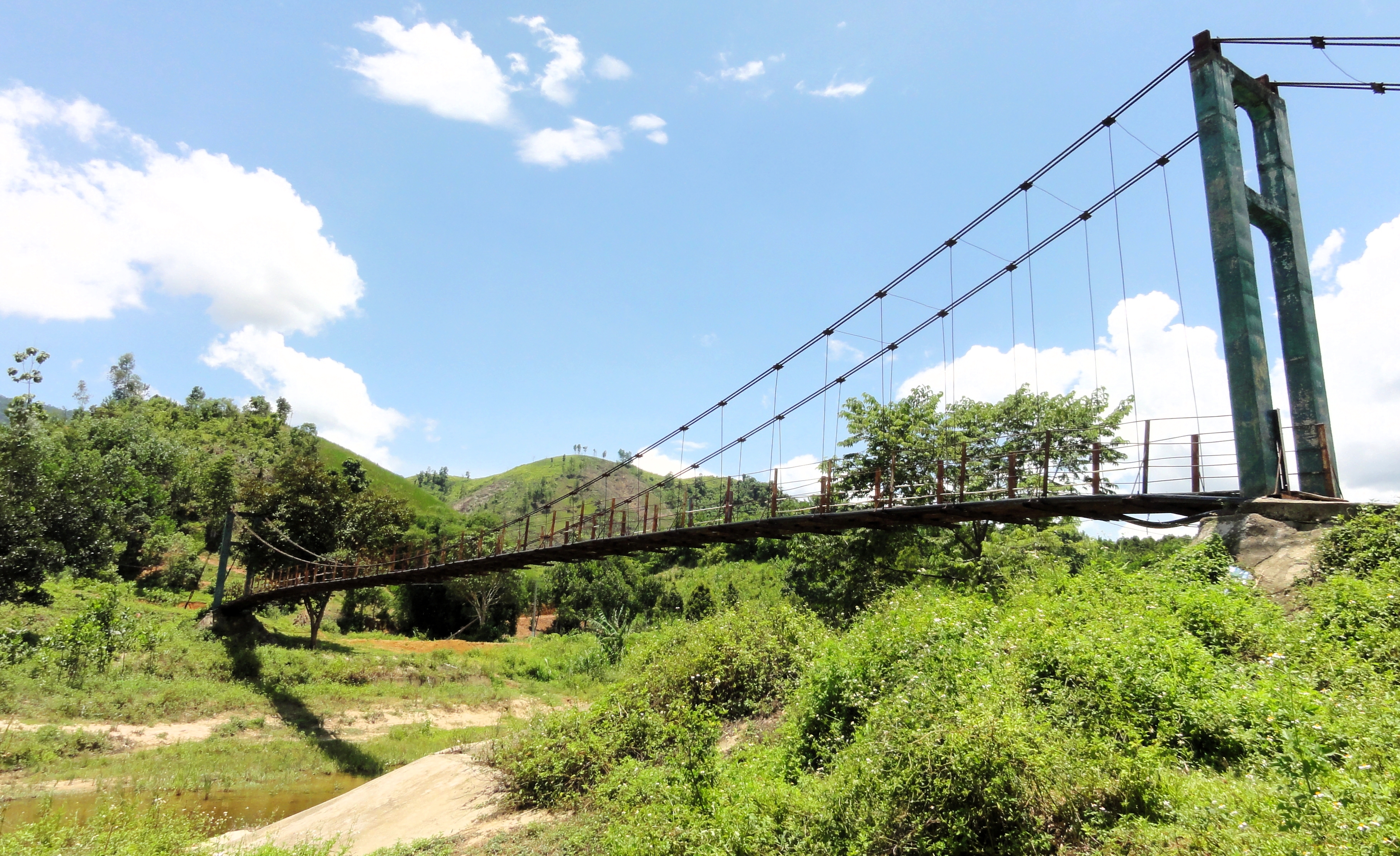
Bridge to ethnic village near A Ting.
|
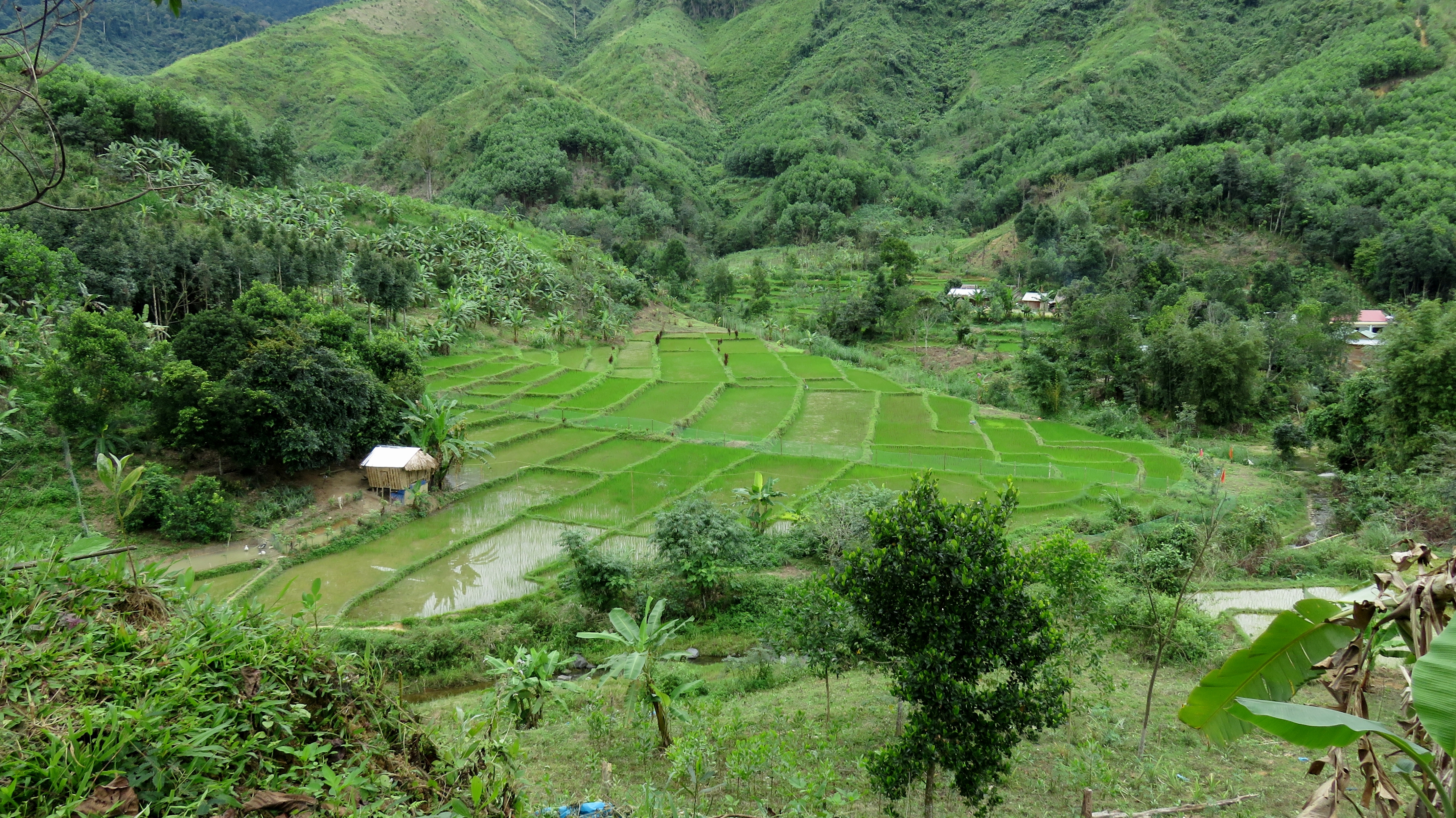
Great paddies near Ta Lu.
|
P'rao
So you've made it to P'rao. And you're wondering "what the f%&k do I do now?" Well, there are a few options. If you haven't stopped for food or coffee yet, it's a great place to do it. And more importantly, it's the last real outpost of true civilization if you are heading out deeper into the bush. There are some OK restaurants in town, although I haven't found one yet that is really knockout good. There is a good coffeeshop on the south end of town, on the east side of the road that makes for a good stopover while passing through called Hoai Thuong, and you can thank Sylvio at Jungle Beach Vietnam for that recommendation.
A Vuong River, north of P'rao.
|
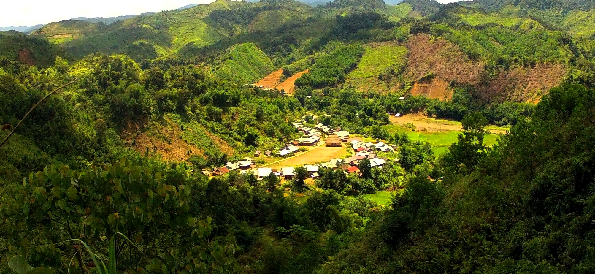
A Zich Village, north of P'rao.
|
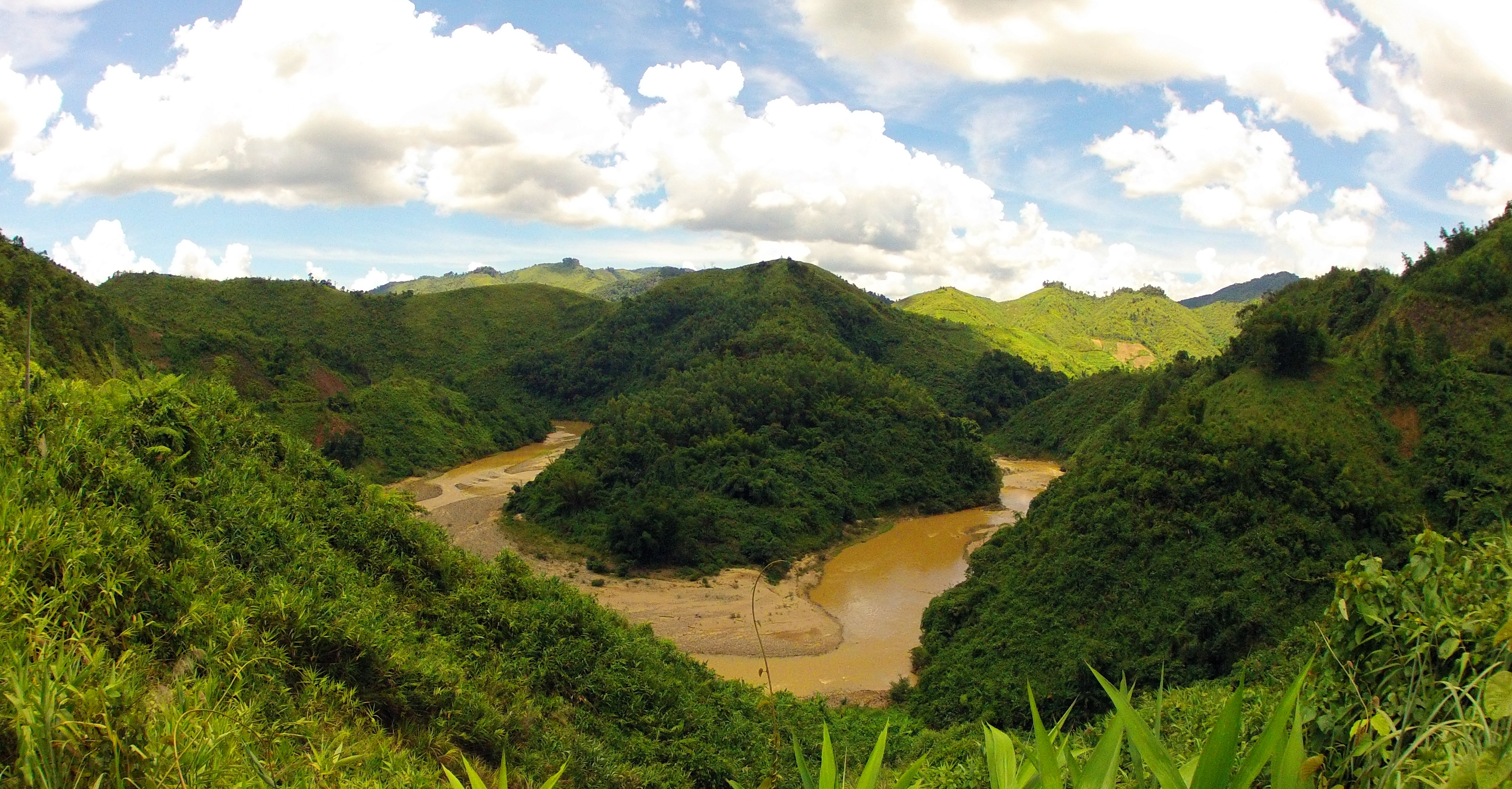
To get back to civilization you've got 3 options: 1) you can turn south, and continue along the Ho Chi Minh Road, which is a good road but wanders through the mountains, over a couple of passes and along some reservoirs and canyons, before joining the AH-17 in the town of Thanh My, about 70 minutes drive from Da Nang; 2) you can go north and cross over the spine of the Truong Son mountains and end up in A Luoi District of Hue Province, of course going this way you will need to spend the night in A Luoi, or loop over to Hue and spend the night before returning; or 3) you can simply return the way you came, back on the 14-G. The 14-G is probably the quickest, although without stops the HCM Road doesn't take that much longer. Going north via A Luoi and Hue is not possible in a day.
A Vuong River, south of P'rao.
Near P'rao itself are several good side roads you can explore over the course of an hour. Travelling south on the HCM Road just a little while get you great views of a beautiful river canyon; driving north on the same road reveals another gorgeous canyon, and a handful of kms up this road is another road that goes deep into Tay Giang district of Quang Nam. There is a road that goes up the east side of the river north of town, which ends up going to a village in the mountains as well. Plus, there are small villages close to P'rao itself that can be visited. Either way, whatever you choose to do, simply making it to P'rao is a great achievement for the day and you should be stoked. Enjoy your time while you are there, and thanks for reading!
The Map
All photos copyright Kit Davidson unless otherwise noted. All maps courtesy Google MyMaps.
